March Kicks Off Our Spring Campaign- Donate Now to Support Forecasting

Forecast for the Logan Area Mountains

Toby Weed
Issued by Toby Weed on
Sunday morning, March 9, 2025
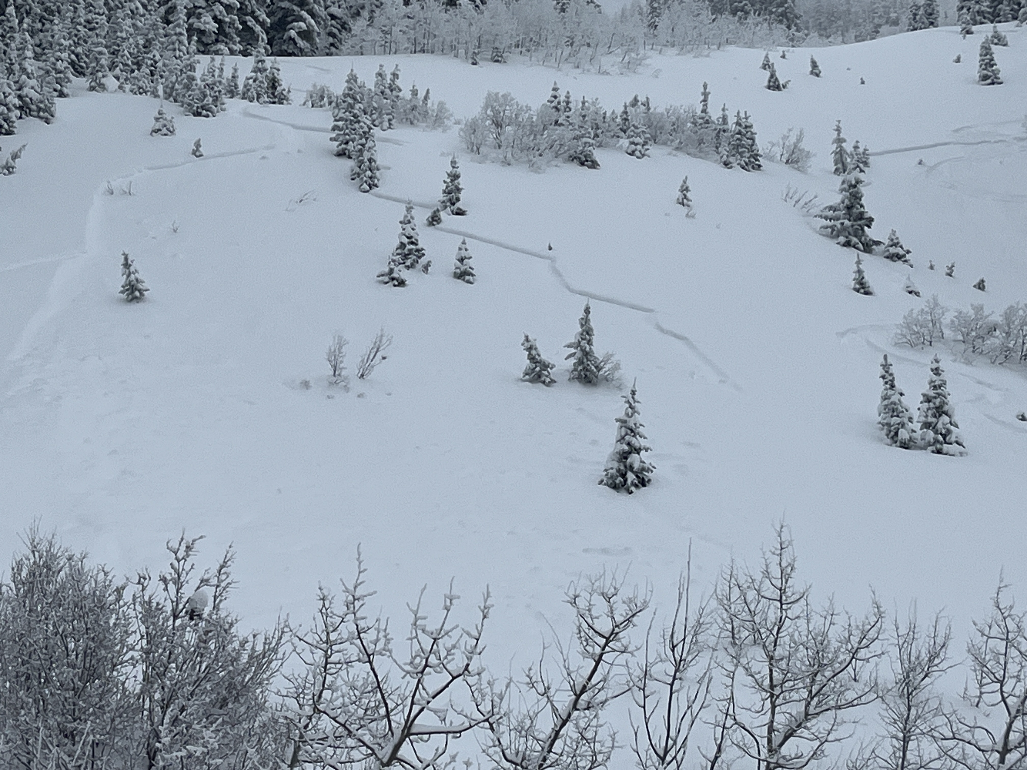
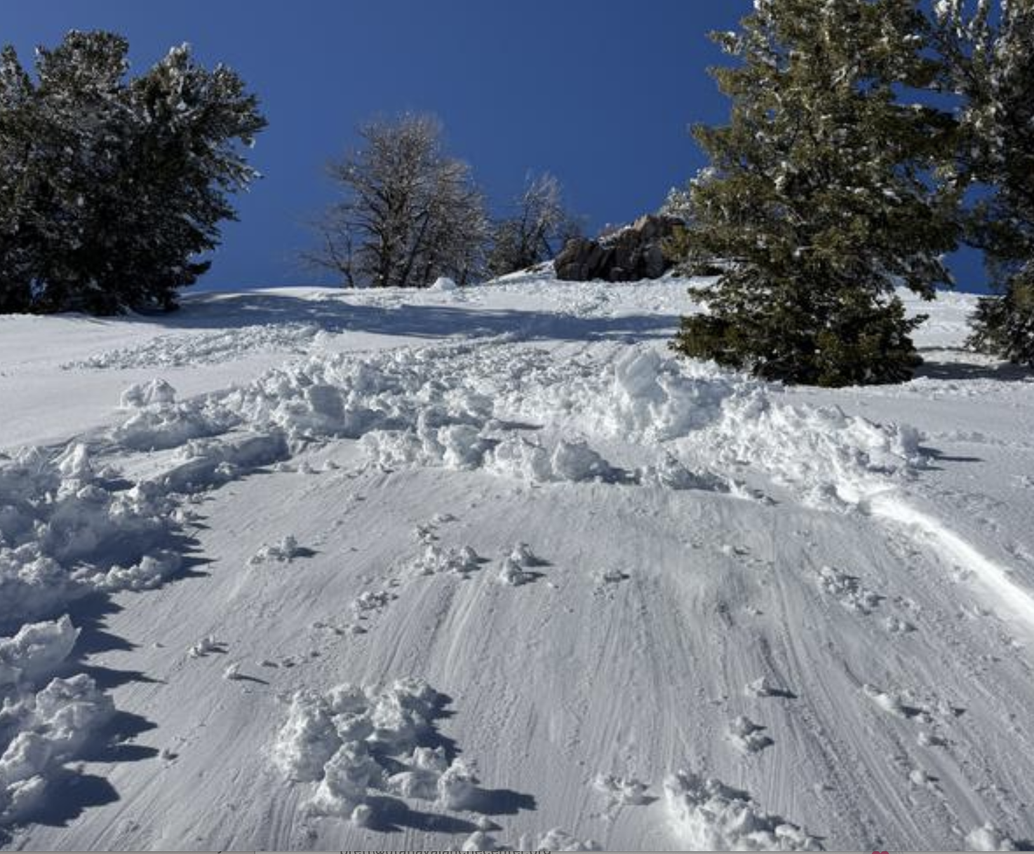
The avalanche danger is MODERATE this morning, but intense sun and much warmer temperatures will elevate the danger to CONSIDERABLE today. Human triggered and natural avalanches of wet snow will become likely under the strong March sun on slopes steeper than 30 degrees.
  • Evaluate snow and terrain carefully, make conservative decisions, and continue to practice safe travel protocols.
  • Stay off and out from under overhanging cornices; they can break back much farther than expected and can trigger avalanches on slopes below.
Low
Moderate
Considerable
High
Extreme
Learn how to read the forecast here
Special Announcements
We are very sad to report on a fatal avalanche accident that occurred on Friday in the Western Uintas near Kamas. Preliminary accident report is HERE
March kicks off our Spring Campaign! If everyone in Utah’s backcountry community donates the cost of something they regularly enjoy on an adventure—like a dawn patrol burrito, a backpack snack, or post-ride trailhead drinks—we could fund not just one but two forecasters for the entire season! Donate here.
Weather and Snow
We found excellent powder conditions in north-facing terrain yesterday, but the surface in many areas was affected by solar warming and became crusty in the afternoon. The snow in shady terrain should still be in prime condition this morning, but once the sun climbs high enough, its sharp March angle will turn the surface of the fresh snow into slush in most areas. As the snow becomes saturated, dangerous avalanche conditions will develop, with wet avalanches becoming likely. The best and safer riding conditions will be this morning before the sun gets too high and warm.

The Tony Grove Snotel at 8400 feet reports 26° F, with 96 inches of total snow. It's 20° F at the Card Canyon weather station with 73 inches of total snow. At 9700 feet at CSI's Logan Peak Wx station, winds are blowing 21 to 26 mph from the west-southwest, and it's 26° F. On Paris Peak at 9500 feet, it's 22° F, with winds blowing 21 to 24 mph from the southwest.

Expect another stunning day in the mountains with clear skies, strong sunshine, and high temperatures at 8500 feet pushing 40° F. Tomorrow will be the same but a little bit warmer. Sunshine and warm temperatures last through midweek with the next chance for snow Wednesday night.

For more information, visit the UAC weather page here: Weather - Utah Avalanche Center
For Logan-specific weather, go here: Logan Mountain Weather - Utah Avalanche Center
Recent Avalanches
-Natural wet avalanches were reported from sunny terrain yesterday, including a small wet slab in the Beaver Mt. Backcountry that looks like it was triggered by rollers off a rock above. Report
-We received multiple reports of natural and human-triggered storm slab avalanches Thursday and Friday, ranging from 12-18 inches deep and up to 200 feet wide. These were all on very steep slopes, approaching 40° in slope steepness.
Skier-triggered soft slab on a north-facing slope at 7400' occurred on 3/6/25.
Read about all avalanches and observations HERE.
Ad
Avalanche Problem #1
Wet Snow
Type
Location
Likelihood
Size
Description
  • Human-triggered soft slab avalanches up to two feet deep and perhaps 200 feet wide are still possible today on steep slopes in drifted mid and upper-elevation terrain where a weak layer above a melt-freeze crust may still exist.
  • Rapid warming today will elevate the danger of both wet loose and wet slab avalanches, especially in sunny terrain and at low elevations. Natural avalanches entraining significant piles of fresh snow will become increasingly likely as the fresh snow becomes saturated due to surface melt.
  • If the snow you are in starts feeling sticky or moist, move to cooler aspects or higher elevations, or avoid travel in steep terrain altogether.
**People fishing in the Logan River should avoid being under steep snow-covered slopes, especially in places like the Dugway and the turns just below Temple Fork.
Avalanche Problem #2
Cornice
Type
Location
Likelihood
Size
Description
  • Large natural cornice falls are likely during the heat of the day, and these could trigger slab avalanches of recent drifted storm snow on slopes beneath.
  • People should stay off of, out from under, and well away from large overhanging cornices, which are deceptive and often break much further back than expected.
Additional Information
This small natural wet slab avalanche in the Beaver Mt Backcountry was triggered by rollers coming off the rock above.
We come to you with heavy hearts and great sadness this morning to confirm an avalanche accident on Friday, March 7th near Hoyt Peak, involving 51-year-old Micheal Janulaitis from Marion, Utah. Micheal was caught, carried, and killed in an avalanche while skiing a steep, northeast facing run in Hoyt Bowl. Huge thanks to the Department of Public Safety, Park City Mountain Resort and Canyons Village Snow Safety and Ski Patrol teams, along with Wasatch Backcountry Rescue for the hard work recovering Micheal and returning him to his family. Micheal was a friend of Utah Avy and we feel privileged for the time we got to spend together. This is a tremendous loss for our backcountry family and we will miss him deeply. We are compiling accident details and a preliminary report can be found HERE.
General Announcements
-National Forest Winter Recreation Travel Maps show where it's open to ride: UWCNF Logan, Ogden LRD Tony Grove, Franklin Basin CTNF Montpelier
-For all questions on forecasts, education, Know Before You Go, events, online purchases, or fundraising, call 801-365-5522.
-Remember the information you provide could save lives, especially if you see or trigger an avalanche. To report an avalanche or submit an observation from the backcountry, go HERE.
-Receive forecast region-specific text message alerts to receive messages about changing avalanche conditions, watches, and warnings. Sign up and update your preferences HERE.
-We are excited to announce the launch of our new mobile application available on both Android and IOS. Get all the information you need to plan your backcountry adventure and keep the information at the tip of your fingers while you are out. Install the Android version HERE and the IOS version HERE.

This forecast is from the U.S.D.A. Forest Service, which is solely responsible for its content. This forecast describes general avalanche conditions, and local variations always occur.