Forecast for the Logan Area Mountains

Issued by Toby Weed on
Tuesday morning, March 31, 2020
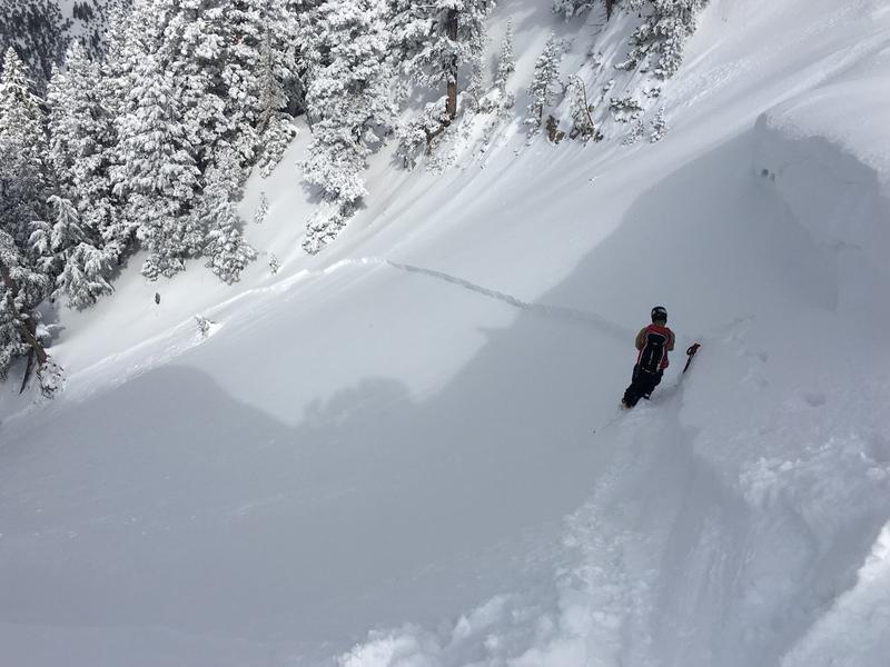
Significant accumulations of new snow at upper elevations and drifting from southwest winds will cause increasing avalanche danger today. Heightened avalanche conditions already exist on upper and mid elevation slopes, and CONSIDERABLE danger will likely develop in high drifted terrain. Human triggered avalanches of wind drifted snow are likely and some natural activity is possible later today. Rain on lower elevation snow and warm daytime temperatures could cause loose wet avalanches to be possible on very steep slopes.
- Evaluate snow and terrain carefully. Use caution while route-finding and make conservative decisions.

Low
Moderate
Considerable
High
Extreme
Learn how to read the forecast here
Special Announcements
If you rely on the UAC forecasts each day you get out, consider making a donation during our Spring Awareness Campaign to help us continue providing the avalanche forecasts and education you rely on.
The UAC encourages everyone to follow direction from federal, state, city and county officicals. The following is from Joe Dougherty, spokesman for the Utah Division of Emergency Management:
Though outdoor recreation is still permitted under the governor’s Stay Safe/Stay Home directive, we recommend that people maintain a distance of at least 6 feet.
Be extra cautious to avoid injuries outdoors. We are working with our hospital systems to conserve as much personal protective equipment as possible in case of hospitalizations.
Most outdoor injuries can be prevented. Know the conditions and know your limits so you don’t end up in a hospital.
Weather and Snow
It's 31°F at the 8400' Tony Grove Snotel, and 5 inches of new snow fell yesterday evening and overnight. There is now 99 inches of total snow with 111% of normal Snow Water Equivalent. It looks like even more snow fell in the northern part of the zone, with Franklin Basin Snotel at 8200' and just north of the state line reporting 0.9" SWE. It's 25°F at the 9700' CSI Logan Peak weather station, and winds increased overnight and are currently blowing about 25 mph from the west-southwest and gusting into the 50s.
Several inches of new snow fell at upper elevations and it is being drifted by sustained west-southwest winds. Expect rising avalanche danger at upper elevations, with increasing probability of people triggering avalanches of wind drifted snow. Heightened conditions exist already this morning and soft slab and loose avalanches of new snow are possible on many steep slopes. Warm mountain temperatures and rain falling on the snow at lower elevations will create potential for small loose avalanches entraining wet surface snow.
- Evaluate terrain carefully and continue to practice safe travel protocols to minimize your risk. Staying on slopes less than 30 degrees is the best way to avoid problems.
A series of weather disturbances will graze far northern Utah through tonight. A cold front will cross northern and central Utah late Wednesday through Thursday.
Expect snow in the mountains today, with 3 to 7 inches of accumulation expected. 8500' high temperatures will climb to around 40°F, and it will be breezy with 16 to 24 mph west-southwest winds and much higher gusts. It will snow in the mountains tonight, with 1 to 3 more inches possible. Low temperatures are expected to be around 22°F with northwest wind 20 to 25 mph decreasing after midnight. Snow will continue in the northern mountains tomorrow, with another inch or so possible. It will be cloudy with high temperatures near 32°F, and northwest winds will blow 6 to 11 mph.
Recent Avalanches
A skier intentionally triggered a slab avalanche of wind drifted snow on an upper elevation north facing slope in Mill Hollow Saturday afternoon. Earlier, the party had been skiing north facing terrain in the area without seeing any red flags, but the stiffer snow on the slope was obviously wind drifted.

On Friday, a very experienced rider triggered a soft slab avalanche and was thrown off his sled in Three Terraces Bowl on the east side of Providence Peak.
Avalanche Problem #1
Wind Drifted Snow
Type

Location

Likelihood

Size

Description
Southwest winds increased overnight and several inches of new snow fell at upper elevations. Heightened conditions exist on drifted upper and mid elevation slopes already this morning. Drifting and snowfall will continue in the mountains today causing in increase in avalanche danger. People are likely to trigger avalanches of wind drifted snow on steep upper elevation slopes later today and some natural activity is possible.
- Watch for cracking as a sign of instability.
- Avoid stiffer, recently drifted snow near the ridge tops, on corniced slopes, and in and around terrain features like sub-ridges, gullies, scoops, and cliff bands.
Avalanche Problem #2
New Snow
Type

Location

Likelihood

Size

Description
Soft slab and loose avalanches of storm snow are possible on steep slopes with significant deposits of new snow at all elevations.
Clouds and cool temperatures should keep natural wet avalanche activity to a minimum again today, but rain on snow and seasonal warmth could create heightened loose wet avalanche conditions in steep terrain.
- If the saturated snow where you are gets warm and sticky or slushy, you should move off and out from under steep slopes.
Additional Information
Skiing and riding at closed ski resorts - Some resorts allow access now, and some do not. Please check HERE for the latest info on ski area access.
New to the backcountry (including riding at closed resorts) - Watch the award-winning, 15 minute Know Before You Go video, or take the 5-part, free online-learning series.
General Announcements
EMAIL ADVISORY. If you would like to get the daily advisory by email you subscribe HERE.
Remember your information can save lives. If you see anything we should know about, please help us out by submitting snow and avalanche observations....HERE. You can also call us at 801-524-5304, email by clicking HERE, or include #utavy in your tweet or Instagram.
This forecast is from the USDA Forest Service, which is solely responsible for its content. The forecast describes general avalanche conditions and local variations always occur.
We will update this forecast before about 7:30 tomorrow morning.