Forecast for the Logan Area Mountains

Issued by Toby Weed on
Wednesday morning, March 20, 2019
Wednesday morning, March 20, 2019
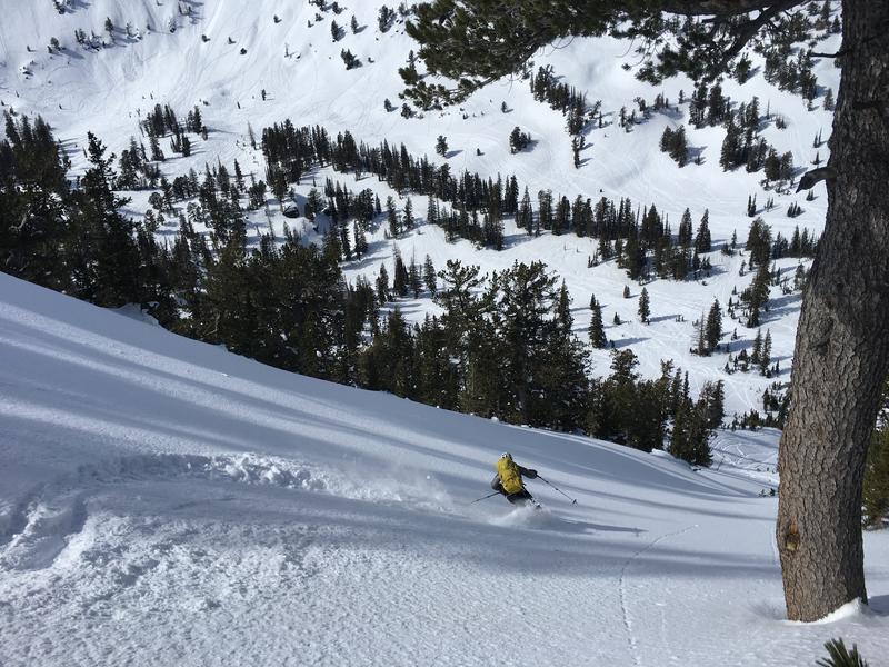
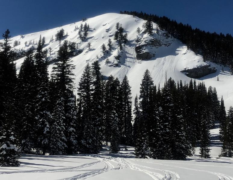
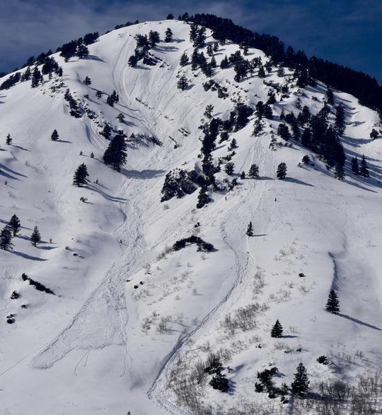
LOW: East winds increased significantly last night, stiff drifts may have formed in unexpected or unusual places, and you might trigger small avalanches of wind drifted snow on isolated upper elevation slopes. Overnight temperatures dropped well below freezing at all stations, but daytime warming will cause increasing danger of wet avalanches on sunny slopes. An early start will allow you to be off the snow before it gets too soft and wet. Use normal caution.
- Watch for recently wind drifted snow on isolated steep upper elevation slopes.
- Avoid travel in gullies and stay out from under steep sunny slopes during the heat of the day.

Low
Moderate
Considerable
High
Extreme
Learn how to read the forecast here