Fall Auction is now live! Check it out now

Forecast for the Logan Area Mountains

Toby Weed
Issued by Toby Weed on
Tuesday morning, March 19, 2024
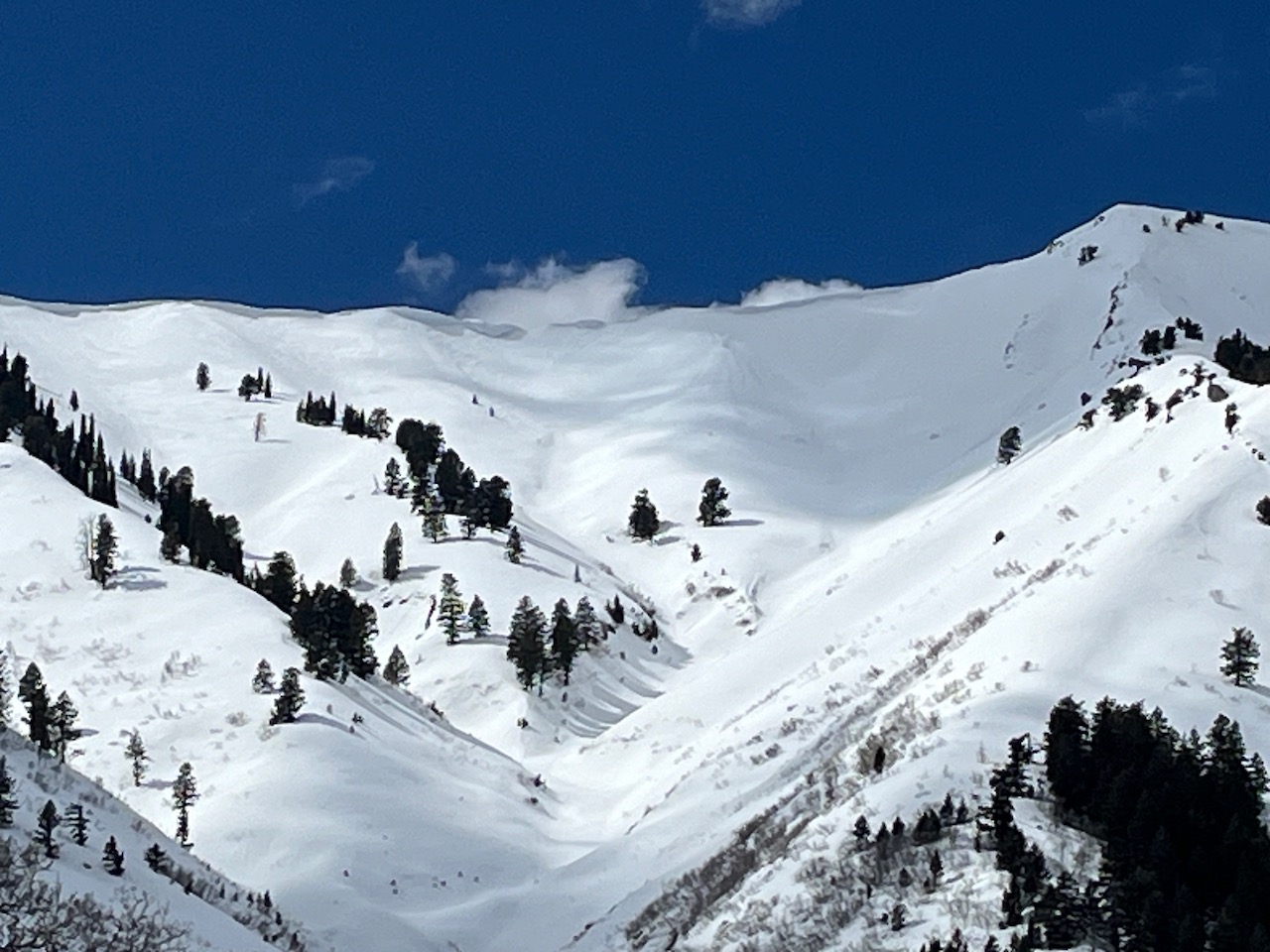
With a poor overnight refreeze and very warm mountain temperatures expected again, the avalanche danger will rise to MODERATE. Natural wet avalanches, large cornice falls, and glide avalanches are possible in the midday heat on slopes steeper than 30°.
People could trigger wet avalanches, so if you start sinking into melt-softened saturated snow, plan to move to lower-angled terrain. Avoid and stay out from under large overhanging cornices.
Low
Moderate
Considerable
High
Extreme
Learn how to read the forecast here
Special Announcements
Donate today to help us rebuild our website backend platform to ensure uninterrupted access to avalanche information and the ongoing security of the website and the data stored on the site.
The Utah Avalanche Center is hosting The Banff Film Festival on Thursday, March 21, and Friday, March 22 in Moab. Click here for tickets and information.
Weather and Snow
Spring is here with strong sun and warm temperatures, and the meltdown has started in earnest. This morning, the snow surface will only be superficially refrozen by radiation heat loss, and it'll soften up even earlier today than it did yesterday.

It's 34°F at the 8400' Tony Grove Snotel, and there is 100 inches of total snow containing 125% of normal snow water equivalent (SWE). On Logan Peak, winds are blowing from the northwest around 10 mph, and it's 31° F at 9700' in elevation.
At the new Paris Peak weather station at 9500' it's 32°F, and the wind is from the north-northwest blowing 12 to 15 mph. I'm reading 34° F at the new Card Canyon weather station at 8800', and there is 87" of total snow.

Sunshine and warm temperatures dominate the forecast through Wednesday. Today, 8500' high temperatures will rise to around 42° F. It will be much warmer at lower elevations and vary depending on where you are in our vast zone. Light winds will blow from the west-northwest at 6 to 10 mph. The next chance for snow showers comes on Thursday afternoon, with little or no accumulation expected, but mountain temperatures should drop below freezing Thursday night. Snow showers are possible on Friday and are likely in the upcoming weekend.
Recent Avalanches
No new avalanches were reported recently in the Logan Zone. Check out all local observations and avalanches HERE.
Ad
Avalanche Problem #1
Wet Snow
Type
Location
Likelihood
Size
Description
We are moving into the time of year when it's best to get an early start and then move off steep slopes before the saturated snow gets too soft.
  • If you start seeing signs of unstable snow like roller balls or pinwheels or you sink deeply into the damp snow, it's time to leave or move to a cooler aspect or elevation. Or, you can head for slopes or meadows less steep than 30°.
  • Natural glide avalanches are possible anytime but most likely during the day's heat on steep slopes with smooth ground surfaces or a rock slab beneath the season's snow.
Avalanche Problem #2
Cornice
Type
Location
Likelihood
Size
Description
Avoid being on slopes capped by large overhanging cornices that may calve or collapse due to the heat. Large natural cornice falls are possible, and these could trigger wet avalanches on slopes below.
Large overhanging cornices threaten steep slopes below in the Wellsville Range.
Additional Information
General Announcements
-National Forest Winter Recreation Travel Maps show where it's open to ride: UWCNF Logan, Ogden LRD Tony Grove, Franklin Basin CTNF Montpelier
-Listen to your very own Logan Zone avalanche forecasters on the UAC Podcast HERE.
-Read Toby's blog about wind, drifting, and avalanches HERE.
-Sign up for forecast region-specific text message alerts. You will receive messages about changing avalanche conditions, watches, and warnings...HERE.
-For all questions on forecasts, education, Know Before You Go, events, online purchases, or fundraising, call 801-365-5522.
-To report an avalanche or submit an observation from the backcountry, go HERE.
-Come practice companion rescue at the Franklin Basin TH Beacon Training Park. It's free and open to everyone. For easy user instructions, go HERE.
-We will update this forecast tomorrow by 7:30 AM.
This forecast is from the U.S.D.A. Forest Service, which is solely responsible for its content. This forecast describes general avalanche conditions, and local variations always occur.