Donate to the 2024 Spring Campaign to help rebuild the UAC website.

Forecast for the Logan Area Mountains

Toby Weed
Issued by Toby Weed for
Saturday, March 16, 2019
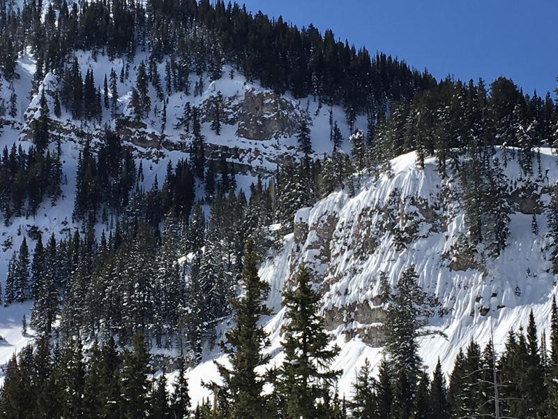
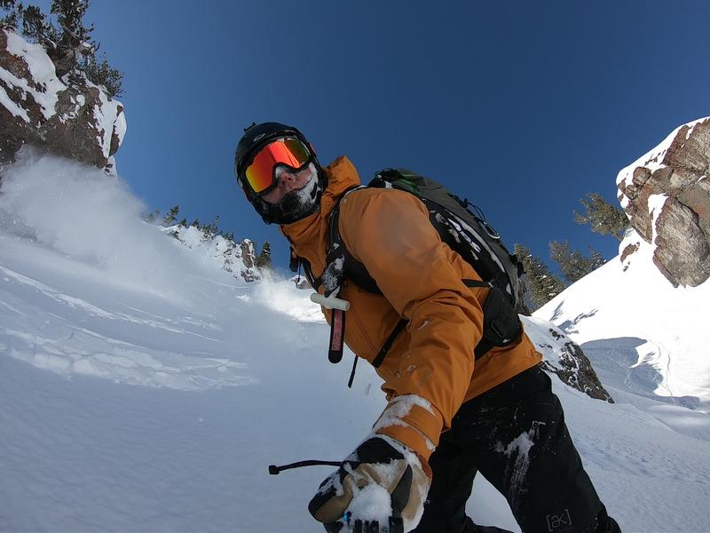
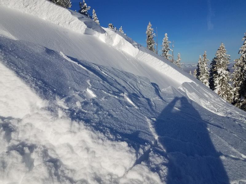
MODERATE: Heightened conditions exist at upper elevations where you could trigger small avalanches of wind drifted snow failing on a buried persistent weak layer. Rapid warming from high angle sun will cause increasing danger and heightened wet avalanche conditions on sunny slopes. Natural wet avalanches are possible in some areas, so avoid travel in gullies and stay out from under steep sunny slopes.
  • Evaluate snow and terrain carefully.
Low
Moderate
Considerable
High
Extreme
Learn how to read the forecast here
Special Announcements
Enjoy spring skiing at Snowbasin Resort. The UAC has discount Snowbasin tickets available. HERE
Weather and Snow
The Tony Grove Snotel at 8400' reports 25ºF this morning and there is 89" of total snow with 105% of average SWE for the date. It's 22ºF at the 9700' CSI Logan Peak weather station, and west winds are currently averaging around 15 mph. Heightened avalanche conditions still exist today at upper elevations, and you might trigger slab avalanches on a persistent weak layer in some areas. Rapid warming from strong March sun today will create heightened wet avalanche conditions on sunny mid and upper elevation slopes.

High pressure aloft will expand east across the western states through the weekend. The next storm system is expected to impact the area midweek. It'll be sunny in the mountains today. High temperatures at 8500' expected be around 36ºF, with fairly light west-southwest winds. It will be clear tonight, with low temperatures around 15º F, and 5 mph west winds. It will be sunny tomorrow, with high temperatures around 37ºF, and 5 mph west-southwest winds.
Recent Avalanches
  • Yesterday, backcountry riders in the Central Bear River Range found evidence of widespread recent natural activity and triggered small wind slab avalanches failing on a buried persistent weak layer.
  • Thursday riders remote triggered a small wind slab avalanche west of Tony Grove Lake and skiers triggered small storm and wind slabs in Cherry Creek Canyon in the Mt. Naomi Wilderness.
A triggered wind slab avalanche chasing Eric down the hill in the Central Bear River Range. (Flygare, 3/15/19)
Ad
Avalanche Problem #1
Persistent Weak Layer
Type
Location
Likelihood
Size
Description
You could trigger slab avalanches failing on a buried persistent weak layer at upper elevations. Soft and stiffer wind slab avalanches, 1 to 2 feet deep, are possible for people to trigger in some areas. Triggered avalanches are possible on slopes facing all directions, but are most likely on those facing north and east.
Avoid large cornices and fresh drifts on the lee side of major ridges in and around terrain features like sub-ridges, gullies, scoops, stringers, and cliff bands.
Yesterday's triggered 2' deep wind slab did not run too far, but it appear to fail on feathery surface hoar buried by Wednesday's snow. (Flygare)
Avalanche Problem #2
Wet Snow
Type
Location
Likelihood
Size
Description
Avalanches of wet snow will become increasingly possible today as high-angled March sun rapidly warms sunny slopes. You should avoid steep slopes with saturated or sticky surface snow. Roller balls, pin wheels, and small natural sluffs indicate potential for loose wet avalanches. You can easily avoid this problem if you move up in elevation and into shady or more north facing terrain. Lower angled, upper elevation slopes offer the best snow quality.
Additional Information
I will update this forecast Monday morning.
The new weather station at the WSU Bloomington Canyon Yurt is up and running. Data available HERE
Now is a great time to practice companion rescue techniques with your backcountry partners. You should check out and use the new Avalanche Beacon Training Park we set up at the Franklin Basin trailhead. Special thanks to Northstars Ultimate Outdoors, USU Outdoor Program, and Beaver Mountain Ski Patrol for helping us to make this possible.
General Announcements
The Beaver Mountain Backside is the backcountry, and it is avalanche terrain. Same goes for the steep rocky terrain adjacent to Cherry Peak Resort. If you leave a ski area boundary, you and your partners should carry and practice with avalanche rescue equipment and follow safe backcountry travel protocols.
Check out the improved weather links, road conditions, and weather links for each forecast region on the new UAC IOS App. Do you use the NOAA point forecast? If so, now you can bookmark your favorite weather locations in "My Weather" in the App. HERE
Are you new to the backcountry or looking to refresh your skills? The UAC has released a free 5-part avalanche skills eLearning series. HERE
If you would like to get the daily advisory by email you subscribe HERE.
Support the UAC through your daily shopping. When you shop at Smith's, or online at REI, Backcountry.com, Patagonia, NRS, Amazon, eBay by clicking on these links, they donate a portion of your purchase to the UAC. If you sell on eBay, you can have your See our Affiliate Page for more details on how you can support the UAC when you shop
Remember your information can save lives. If you see anything we should know about, please help us out by submitting snow and avalanche observations. HERE You can call us at 801-524-5304, email by clicking HERE, or include #utavy in your Instagram.
This forecast is from the U.S.D.A. Forest Service, which is solely responsible for its content. The forecast describes general avalanche conditions and local variations always occur.