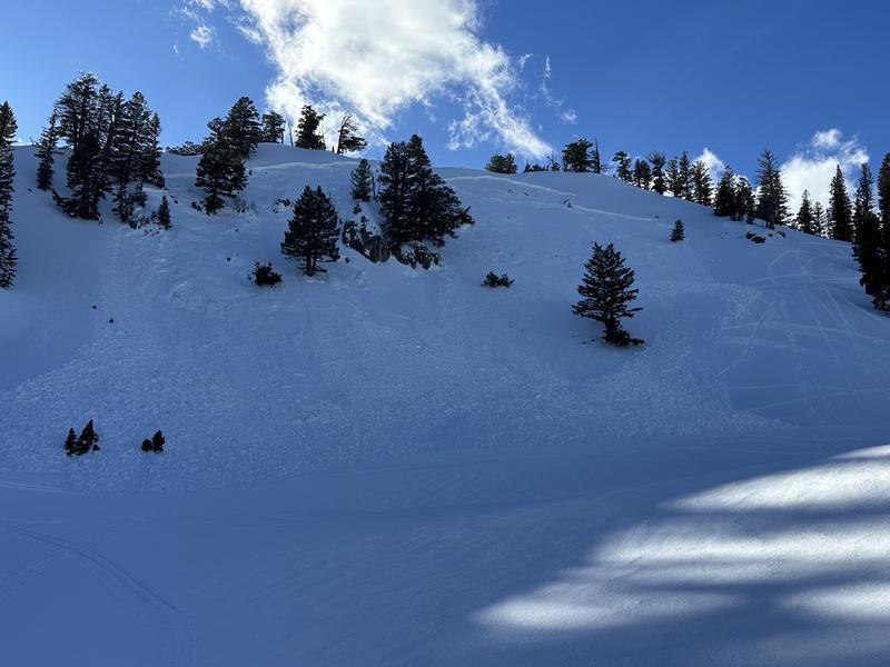
The powder is gone, and the surface snow in the mountains is highly variable. This past week's warm storm delivered rain up to about 8500', damp snow higher than that, and dense wind-packed graupel above about 9200'. The wind ravaged many upper elevation slopes, leaving behind patches of sculpted sastrugi and bulletproof windscour. Riding is generally supportable on all aspects, but any remaining soft snow will likely become saturated with today's warmth and high rain/snow line.
Poor snowpack structure persists on many slopes, now capped by softening crusts of varying thickness and density. Our biggest concern is riders triggering a slab of wind-drifted snow sitting atop the weak, sugary faceted snow that developed during our January dry spell.
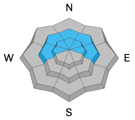
With complex and heightened avalanche conditions across the Bear River Mountains, your safest choice is still to stay off and away from steep hills. If you choose to travel in avalanche terrain, follow safe travel protocols by exposing only one person at a time. video below
The UAC Card Canyon weather station at 8700 feet reports 32°F with 54 inches of total snow. The Tony Grove Snotel, located at 8400 feet, reports 33°F, and there's 70 inches of total snow. At 9700 feet on Logan Peak, the winds are blowing from the west around 20 to 25 mph. It's 28°F on Paris Peak at 9500 feet, and the wind, from the southwest, is blowing 11 to 18 mph.
It's going to be cloudy and soggy today in the mountains, with rain and snow showers, and a high temperature around 41°F at 8500 feet. Light winds will blow from the west-southwest. Little accumulation is expected. The incoming weather front moves through the area late tomorrow morning, bringing slightly cooler air, thunder, and 1-3 inches of snow. Snowfall continues through Monday night into Tuesday morning, delivering 2 -4 more inches of snow. The pattern remains unsettled with cooler temperatures arriving for the latter half of the week.
In the Wasatch Mountains, avalanches in the past 11 days have killed four people. The report on the Mary Main Bowl accident on 2/19 has been published. Thank you to everyone involved for sharing information. Our heartfelt condolences go out to everyone affected by this tragic accident.
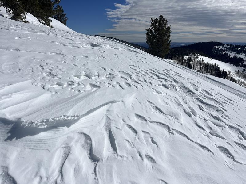
An observer reported a freshly triggered avalanche Friday near the Naomi Trail on an east-facing slope around 8900'. This slab of wind-drifted snow is exactly the type of avalanche you could trigger today.
pc: K Follett
For all observations and avalanche activity in the Logan Zone, go HERE.