Forecast for the Logan Area Mountains

Issued by Toby Weed on
Wednesday morning, February 6, 2019
Wednesday morning, February 6, 2019
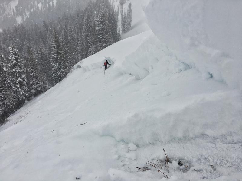
CONSIDERABLE: Significant accumulations of heavy snow and drifting from sustained southwest winds have caused dangerous conditions and avalanches to be likely at upper and mid elevations. Slab avalanches consisting of wind drifted snow and large cornice falls are most likely on upper elevation north, northeast, and east facing slopes. A HIGH danger may still exist in some areas. Slopes with buried persistent weak layers were overloaded by heavy drifted snow, increasing the chances of triggering dangerous deep hard slab avalanches.
- Make conservative decisions and evaluate snow and terrain carefully.
- Stay off and out from under ridge-top cornices and steep slopes with recent deposits of wind drifted snow.

Low
Moderate
Considerable
High
Extreme
Learn how to read the forecast here