Forecast for the Logan Area Mountains

Toby Weed
Issued by Toby Weed on
Thursday morning, February 5, 2026

The weak snow is stable in the backcountry, and the avalanche danger is LOW. Although unlikely, small wind slab and loose avalanches remain possible on some upper-elevation slopes steeper than 30 degrees.

Low
Moderate
Considerable
High
Extreme
Learn how to read the forecast here
Special Announcements

*** For your reading pleasure, check out a new blog post by UAC Forecaster, Drew Hardesty, "Utah – The Greatest...*Rain* on Earth?!?" and this from UAC Director Paige Pagnucco - Weak Snow: Today’s Surface, Tomorrow’s Avalanche Problem

Weather and Snow

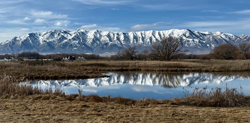
Persistent fair and mild weather will continue in the mountains through the weekend. Skies will be mostly sunny again today with high temperatures at 8500 feet near 44°F. Light winds will blow from the east-southeast. Under a strong high-pressure system, we can expect a repeat of today's conditions tomorrow. Forecasted timing and amounts are still uncertain, but clouds will start stacking up on Sunday night, and a much-heralded storm system from the northwest will begin to impact the Logan Zone around Monday afternoon, and at last, snow is likely. A cool and unsettled weather pattern will remain over the area through the remainder of the upcoming week.

This morning, at the UAC Card Canyon weather station at 8700 feet, the temperature is 37°F, and there is 41 inches of total snow. The Tony Grove Snotel at 8400 feet reports 39°F and 53 inches of total snow. On the summit of Logan Peak (9700 feet), the wind is blowing 19 mph from the north. It's 32°F on Paris Peak at 9500 feet, and the wind is blowing 15 to 20 mph from the north-northeast.

We'll find a wide variety of snow surface conditions in the backcountry today. There are still scraps of nice powder-like riding to be found in sheltered terrain, on low-angled slopes, and in the trees. And if you're willing to travel over stretches of bare ground, you can find untrammeled snow with only animal tracks.

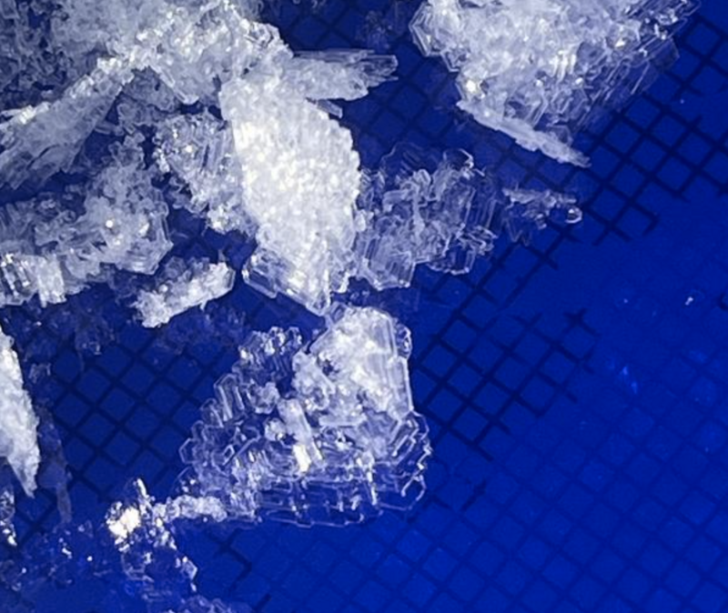
Different kinds of weak layers have developed on and near the snow surface in the past couple of weeks, and these will lead to dangerous avalanche conditions when buried by inevitable future snows. After a few weeks with minimal snow accumulations, the snow is generally stable, and large avalanches are unlikely. Even so, stiff wind slabs of redeposited snow can be found near ridge tops and in and around terrain features like sub-ridges, gully walls, cliff bands, and mid-slope rollovers. A person might trigger a small wind slab avalanche where a stiff drift rests on preexisting weak surface snow. Small loose avalanches are also possible on very steep slopes, entraining wet snow in sunny terrain, and sugary, faceted snow in shady or northerly terrain. The snow cover is quite thin at lower elevations, with sunny slopes below about 7000 feet in elevation completely bare of snow.

Recent Avalanches

No significant avalanches have been reported recently. For all observations and avalanche activity in the Logan Zone, go HERE

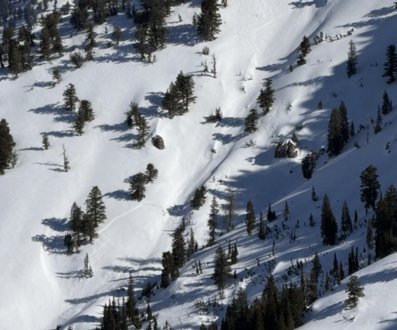
A small recent wind slab avalanche was observed on the west side of Cherry Peak on Monday.

Avalanche Problem #1
Normal Caution
Type
Location
Likelihood
Size
Description

All backcountry travel involves inherent risk, but now is a great time to get up into the mountains, explore new terrain, and practice companion rescue with your backcountry partners.

  • Travel with a partner, and cross or ride slopes steeper than 30 degrees one at a time while the rest of your group watches from a safe spot.
  • Ensure that everyone in the group has avalanche rescue equipment (a transceiver, probe, and shovel) and knows how to use it.

Although large avalanches are unlikely today, people could trigger small avalanches on slopes steeper than 30 degrees.

  • Wind has created pockets of wind-drifted snow, stiff wind slabs, on slopes plagued by weak surface snow in some exposed high terrain. People can trigger small hard slab avalanches of wind-drifted snow.
  • Wet avalanches entraining saturated loose snow are possible in sunny terrain in the heat of midday. If the snow becomes saturated, move to a cooler aspect or elevation. Rollerballs and pinwheels are signs of unstable snow.
  • Fast-moving, loose avalanches (sluffs) of sugary faceted snow are becoming increasingly more common in very steep, sheltered, northerly-facing terrain.
Additional Information

We are observing weak snow on and near the snow surface, including surface hoar, as Paige found in Garden City Bowls yesterday...

Did you know the UAC hosts a podcast? Episode 2 of Season IX is just out - AI, Machine Learning, and the Value of Expert Intuition at the Utah Avalanche Center.

Are you interested in learning more about avalanches? Visit our education page for details on all our classes.

For more information, visit the UAC weather page here: UAC Weather Page For Logan-specific weather, go here: Logan Mountain Weather

-For all questions on forecasts, education, Know Before You Go, events, online purchases, or fundraising, call 801-365-5522.

-Remember, the information you provide could save lives, especially if you see or trigger an avalanche. To report an avalanche or submit an observation from the backcountry, go HERE

-Receive forecast region-specific text message alerts to receive messages about changing avalanche conditions, watches, and warnings. Sign up and update your preferences HERE

This forecast is from the U.S.D.A. Forest Service, which is solely responsible for its content. This forecast describes general avalanche conditions and local variations always occur.

General Announcements
This information does not apply to developed ski areas or highways where avalanche control is normally done. This forecast is from the U.S.D.A. Forest Service, which is solely responsible for its content. This forecast describes general avalanche conditions and local variations always occur.