Forecast for the Logan Area Mountains

Toby Weed
Issued by Toby Weed for
Wednesday, February 28, 2024
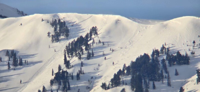
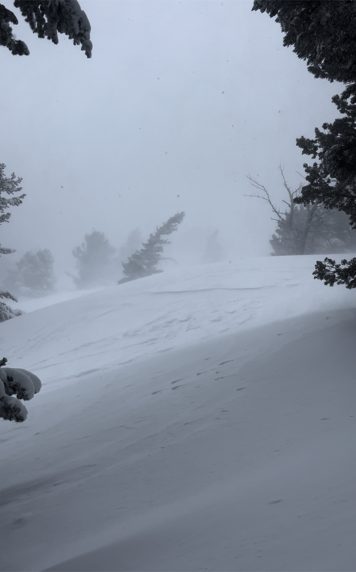
Yesterday's strong winds blowing from the west elevated avalanche conditions at all elevations, drifting tons of fresh snow into avalanche starting zones and building deep drifts on slopes facing all directions. Today, people could trigger wind slab avalanches on many slopes steeper than 30°. Areas with CONSIDERABLE danger exist in drifted upper-elevation terrain where natural avalanches are possible, and human-triggered avalanches of wind-drifted storm snow and cornice falls are likely.
The best and safest powder riding conditions will be found in sheltered terrain and on slopes less steep than about 30°.

Careful snowpack evaluation, cautious route-finding, and conservative decision-making are essential for safe backcountry travel. Avoid and stay out from under steep drifted slopes and overhanging cornices.
Low
Moderate
Considerable
High
Extreme
Learn how to read the forecast here
Special Announcements
We are seeking a passionate individual to join us as Executive Director of the nonprofit Utah Avalanche Center. Click here for more information.
Weather and Snow
Expect a much more pleasant powder day in the Logan Zone, but elevated avalanche conditions exist in drifted terrain. Yesterday, we found the new snow right-side-up (heavier. at the bottom and lighter on top) and fairly well bonded to the crusty old snow surface. We found good powder riding in more sheltered terrain and deep drifts up to 3 feet thick. In drifted areas, which were widespread, we triggered some shooting cracks (a red flag). I expect increasing stability during the day today.
The Tony Grove Snotel at 8400' reports 10 inches of settled new snow from yesterday's storm, with 1.6" SWE (snow water equivalent). I'm reading 11° F this morning, with 108" of total snow containing around 123% of normal SWE. Although diminished significantly since yesterday, winds out of the southwest are still pretty strong at the CSI Logan Peak weather station this morning. They are currently blowing 25 mph with gusts around 35 mph. It's a chilly 5° F at 9700' in elevation, and the wind chill value is -18° F. At 9500' on Paris Peak, decreasing winds are blowing from the southwest around 20 mph, and it's 4° F, with a wind chill value of -16 ° F.

Today will be sunny in the mountains with 8500' high temperatures around 28° F and 15 mph winds blowing from the west-southwest.
Tomorrow will be mostly sunny, with winds from the southwest increasing significantly due to an approaching storm. Snowfall is expected to begin again in the mountains late Thursday night, with strong south-southwest winds and 1 to 3 inches of accumulation possible by Friday morning. 4 to 8 inches of accumulation and strong winds from the south-southwest are expected on Friday. Significant accumulation is expected in the mountains Friday night and Saturday, with up to two feet of additional accumulation possible by Saturday evening. Snow will continue and be heavy at times Saturday night and Sunday, with more significant accumulations likely.
Recent Avalanches
Some cornice falls and one good-sized natural avalanche were observed Monday morning at upper elevations in the Wellsville Range due to drifting by the strong prefrontal winds (report here). Poor visibility meant limited views of avalanche terrain yesterday, and no new avalanches were reported although some probably occurred.
Check out all local observations and avalanches HERE.
Ad
Avalanche Problem #1
Wind Drifted Snow
Type
Location
Likelihood
Size
Description
Human-triggered avalanches of wind-drifted snow are likely in drifted upper-elevation terrain. Very strong winds from the west loaded snow onto leeward terrain and built out cornices. Watch for and avoid fresh wind drifts on the lee side of major ridges, corniced slopes, and in and around terrain features like cliff bands, sub-ridges, gully walls, and mid-slope rollovers. Stiff wind slabs could be stubborn, allowing a person to get well out on them before releasing them. Other softer wind slabs could be quite sensitive; some might even be triggered remotely from a distance.
Avalanche Problem #2
Cornice
Type
Location
Likelihood
Size
Description
Stay well away from and out from under overhanging cornices, which may break further back than expected. Natural cornice falls are possible today, and some could trigger wind slab avalanches on slopes below.

Additional Information
A fresh natural avalanche of wind-drifted snow was observed Monday morning in the Wellsville Range. It was likely triggered by cornice fall.
It was very windy yesterday, even in places that are usually sheltered.
General Announcements
-Listen to your very own Logan Zone avalanche forecasters on the UAC Podcast HERE.
-Read my recent blog about wind, drifting, and avalanches HERE.
-Sign up for forecast region-specific text message alerts. You will receive messages about changing avalanche conditions, watches, and warnings...HERE.
-For all questions on forecasts, education, Know Before You Go, events, online purchases, or fundraising, call 801-365-5522.
-To report an avalanche or submit an observation from the backcountry, go HERE.
-Come practice companion rescue at the Franklin Basin TH Beacon Training Park. It's free and open to everyone. For easy user instructions, go HERE.
-We will update this forecast by 7:30 AM tomorrow.
This forecast is from the U.S.D.A. Forest Service, which is solely responsible for its content. This forecast describes general avalanche conditions, and local variations always occur.