Forecast for the Logan Area Mountains

Paige Pagnucco
Issued by Paige Pagnucco for
Monday, February 26, 2024
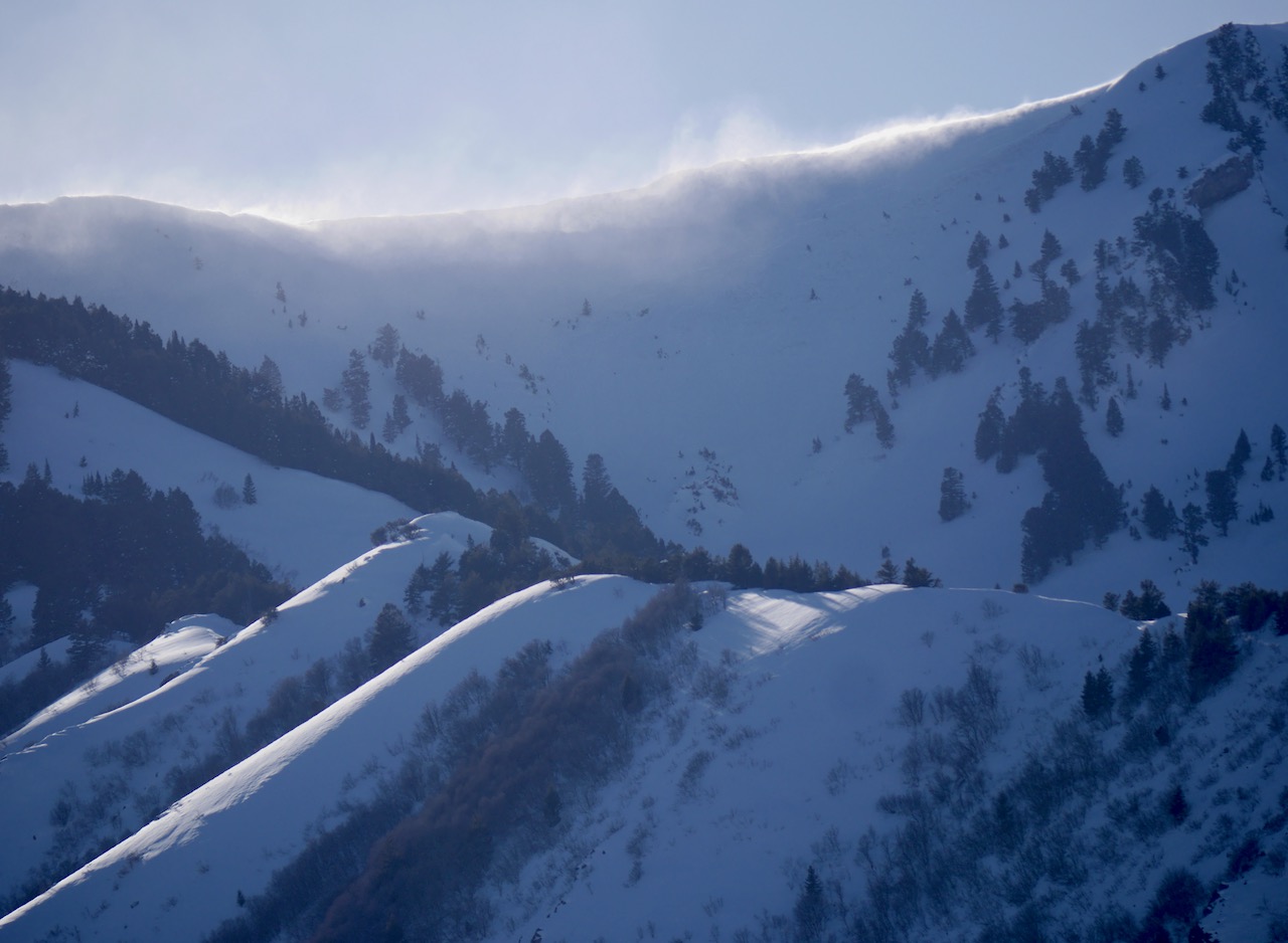
The avalanche danger is currently MODERATE but could rise to CONSIDERABLE in upper elevation terrain overnight tonight. Human-triggered avalanches of wind-drifted snow and cornice falls are possible. On upper elevation east, south, and west-facing slopes, people could trigger large avalanches failing around 2-3 feet deep on a thin, persistent weak layer above a melt-freeze crust.
The best and safest riding conditions today will be on sheltered north-facing slopes no steeper than 30°.

Evaluate the snow and terrain carefully.
Low
Moderate
Considerable
High
Extreme
Learn how to read the forecast here
Special Announcements
We are seeking a passionate individual to join us as Executive Director of the nonprofit Utah Avalanche Center. Click here for more information.
Weather and Snow
HOLD ON TO YOUR HATS/HELMETS! Heavy snowfall and very strong winds (RED FLAGS) are in the cards for the next 24-36 hours as an arctic-influenced trough moves through the state. Avalanche danger will likely spike late tonight, and the biggest issue will be wind-drifted snow. I expect wind slabs and cornices to become more sensitive as the storm progresses. Your best option for safe and good riding today will be on sheltered, north-facing slopes not affected by the wind. Any snow touched by the sun or zapped by the recent warm temperatures will be crusty and/or mushy.

The Tony Grove Snotel at 8400' reports 31° F this morning, with 101" of total snow containing around 121% of normal SWE (snow water equivalent). The wind is blowing from the west-southwest this morning around 30 mph and gusting to 59 mph at the 9700' CSI Logan Peak weather station. At 9500' on Paris Peak, winds are blowing from the southwest at around 30 mph, and it's 22° F.

The star of the show today is going to be the wind - to start, it will blow from the west-southwest at 26 to 31 mph, increasing to 38 to 43 mph in the afternoon, and could gust as high as 65 mph. 8500' temperatures will be about 33° F. When the cold front passes through this evening, winds will remain very strong but shift and blow from the west-northwest, and temperatures will drop considerably to single digits. Snow should start falling this afternoon and could be heavy at times. Heavy snowfall and very strong winds continue overnight through tomorrow night. Upper elevations could pick up 10-20+" of snow by Tuesday evening. Tomorrow's 8500' high temperature will be 16° F with wind chills in the negative teens. Wednesday will be mostly sunny, with a high near 28° F. Winds will subside and blow from the southwest 10-15 mph.
Recent Avalanches
No avalanches were observed yesterday,
Check out all local observations and avalanches HERE.
Ad
Avalanche Problem #1
Wind Drifted Snow
Type
Location
Likelihood
Size
Description
Human-triggered avalanches of wind-drifted snow and cornice falls are possible in drifted upper-elevation terrain. Very strong winds from the west-southwest will load snow onto leeward terrain and build out cornices. Watch for and avoid fresh wind drifts on the lee side of major ridges, corniced slopes, and in and around terrain features like cliff bands, sub-ridges, gully walls, and mid-slope rollovers. Wind slabs and cornices will become more sensitive as the storm progresses.
  • Audible collapses or whumpfs and shooting cracks are obvious signs of instability, but these red flags may not be present when avalanches occur.
  • Stay well away from and out from under overhanging cornices, which may break further back than expected.
  • In some outlying upper elevation terrain on slopes generally facing the southern half of the compass (east through south through west), human-triggered avalanches could fail on a sugary, persistent weak layer on top of a melt-freeze crust buried 2 to 3 feet deep. The problem is more pronounced in sunny terrain and avalanches could be of high consequence in certain terrain.
Additional Information
A natural avalanche (occurred around 2/21) in the Mt Naomi Wilderness was observed from a distance on Saturday afternoon. This likely failed on a thin, sugary, persistent weak layer. pc: K.Gardner
Winds were whipping yesterday and moving lots of snow in upper elevation terrain in the Wellsville Range.
General Announcements
-Listen to your very own Logan Zone avalanche forecasters on the UAC Podcast HERE.
-Read my recent blog about wind, drifting, and avalanches HERE.
-Sign up for forecast region-specific text message alerts. You will receive messages about changing avalanche conditions, watches, and warnings...HERE.
-For all questions on forecasts, education, Know Before You Go, events, online purchases, or fundraising, call 801-365-5522.
-To report an avalanche or submit an observation from the backcountry, go HERE.
-Come practice companion rescue at the Franklin Basin TH Beacon Training Park. It's free and open to everyone. For easy user instructions, go HERE.
-We will update this forecast by 7:30 AM tomorrow.
This forecast is from the U.S.D.A. Forest Service, which is solely responsible for its content. This forecast describes general avalanche conditions, and local variations always occur.