Forecast for the Logan Area Mountains

Toby Weed
Issued by Toby Weed for
Saturday, February 18, 2023
The snow is stable and the danger is LOW on most slopes in the backcountry. However, drifting by sustained and increasing winds blowing from the southwest elevated the danger to MODERATE at upper elevations. People could trigger small slab avalanches of wind drifted snow on slopes steeper than 30°. Heavy snow and drifting from west winds tonight will heighten backcountry avalanche conditions further.
  • Use normal caution and evaluate snow and terrain carefully in drifted upper elevation terrain.
Low
Moderate
Considerable
High
Extreme
Learn how to read the forecast here
Weather and Snow
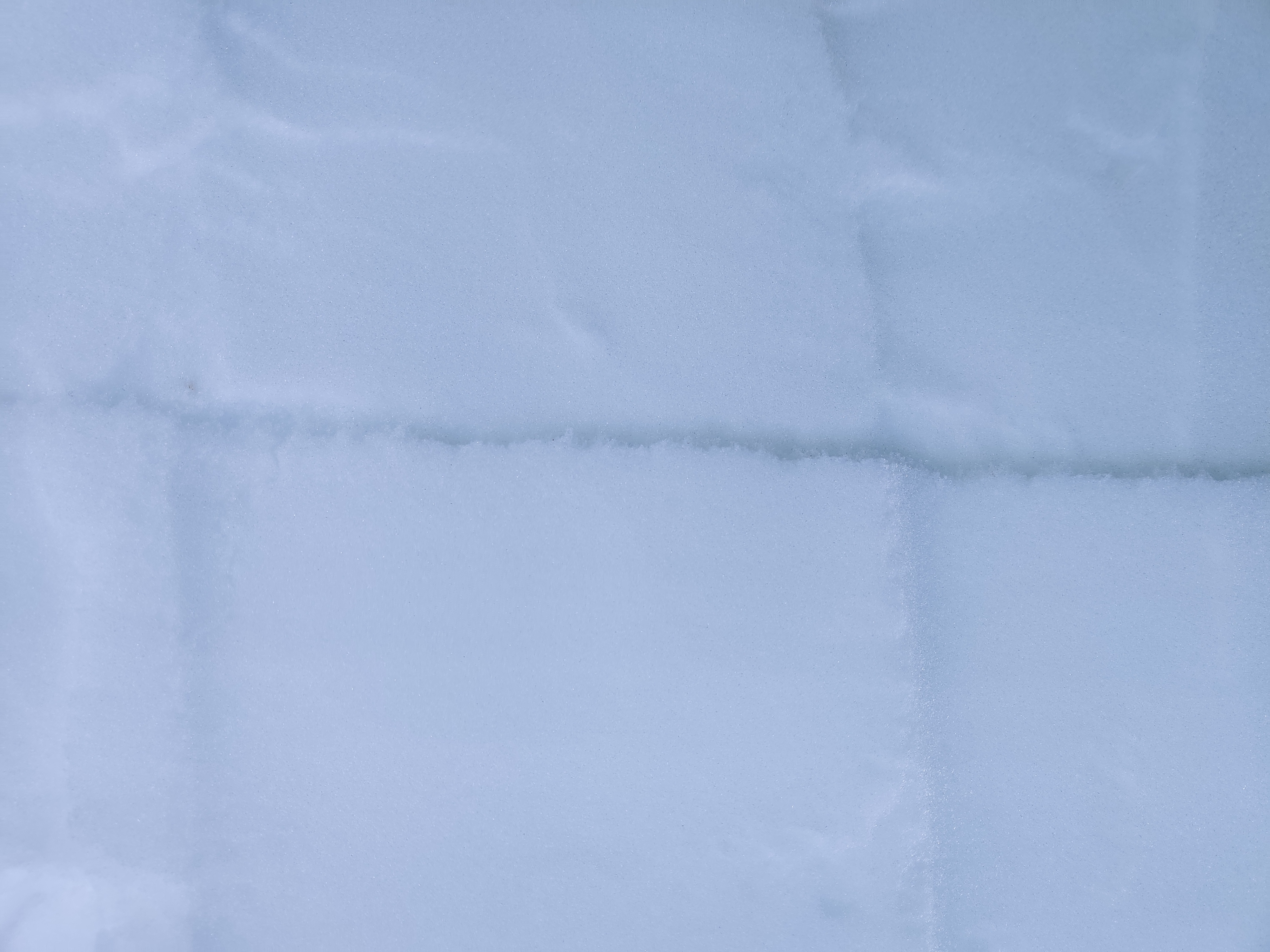
We've found fine cold powder conditions in the backcountry this week. The snow is generally stable, and the main avalanche concern is potential for slab avalanches of wind drifted snow. Winds from the southwest increased another notch late last night, and people should avoid obvious new drifts and hard wind slabs in exposed windy terrain at upper elevations.
Cold air temperatures have kept the fresh powder nice, especially in sheltered northerly facing terrain. But, several inches of new snow and drifting from a quick hitting storm tonight will elevate backcountry avalanche danger, as well as cap and preserve existing weak surface snow and shallowly buried persistent weak layers.

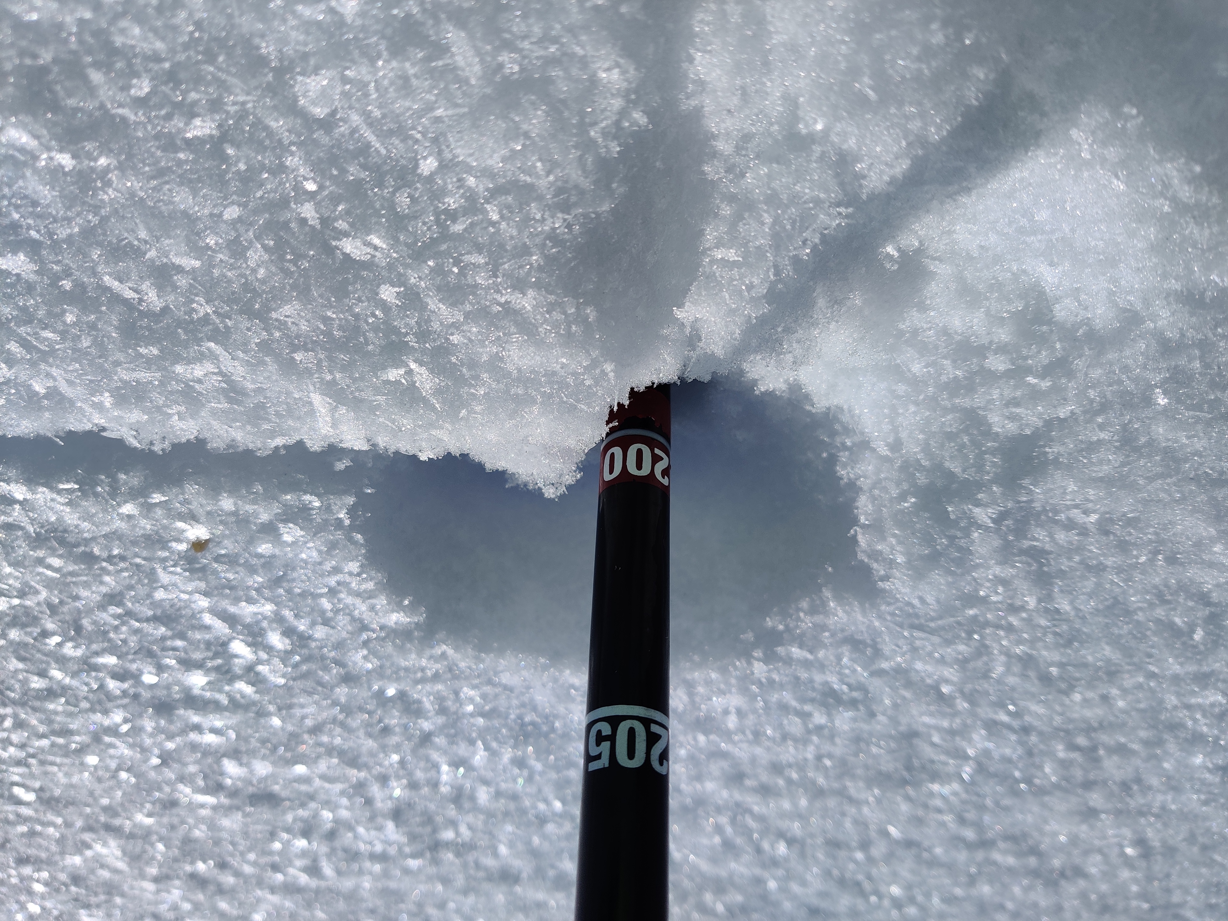
The Tony Grove Snotel reports 22° F this morning, and there is 95 inches of total snow, with 125% of normal SWE. The winds at the CSI weather station at 9700' on Logan Peak are from the southwest consistantly blowing 30 to 35 mph.

Today: A 30% chance of snow after 5pm. The snow could be heavy at times. Increasing clouds, with a high near 22° F. Wind chill values as low as zero. West southwest wind 8 to 18 mph, with gusts as high as 30 mph. Total daytime snow accumulation of less than one inch possible.
Tonight: Snow, mainly after 8pm. The snow could be heavy at times. Steady temperature around 17° F. Wind chill values as low as -3° F. West wind 18 to 21 mph. Chance of precipitation is 100%. New snow accumulation of 8 to 12 inches possible.
Sunday: A 50% chance of snow. Mostly cloudy, with a steady temperature around 20° F. Wind chill values as low as 1° F. Breezy, with a west wind 14 to 22 mph, with gusts as high as 33 mph. New snow accumulation of less than one inch possible.
A productive storm looks to be developing for President's day and through much of next week, with significant accumulations possible in all the mountains of Utah and Idaho.
Recent Avalanches
This week we observed a few small natural wind slab avalanches in drifted terrain, and observers report triggering loose powder avalanches on very steep slopes.
Last Saturday, skiers near Logan Peak in Mill Hollow remotely triggered a 8" deep and 60' wide wind slab avalanche that ran around 500 vrt'. Report is HERE

For a list of avalanches in the Logan Zone go HERE
Find a list of all recent observations & avalanches from across Utah HERE.
Ad
Avalanche Problem #1
Wind Drifted Snow
Type
Location
Likelihood
Size
Description
  • Wind slabs consist of stiffer drifted snow. They are often rounded and chalky looking and can make hollow, drum-like sounds.
  • Avoid corniced slopes and stiffer drifts on steep slopes near ridges and in and around terrain features like cliff bands, sub-ridges, mid-slope break-overs, and gully walls.
  • Hard wind slabs sometimes allow people to get out on them before releasing like a big mouse trap.
Avalanche Problem #2
Normal Caution
Type
Location
Likelihood
Size
Description
  • As the snow is warmed by the sun in sheltered terrain it could become moist and prone to sluffing. Loose wet avalanches are possible in the middle of the day on very steep sunny slopes.
  • Even small avalanches of wind drifted or loose snow can be a problem in steep terrain, especially if you get carried into trees, gullies, benches, or rocks.
  • Continue to practice safe travel protocols. Travel in backcountry terrain with a partner or two, but go one at a time.
  • Check your batteries and assemble your probe and shovel. Practice companion rescue with your backcountry partners, (use our beacon training park at Franklin Basin TH.)
Additional Information
Avalanche forecasters must pay close attention to developing layers of weak surface snow and shallowly buried persistent weak layers as they are buried by new storms. Here are a couple examples from Copenhagen Basin, 2-17-23 (Thanks to Peter Schuler)
  • Currently we are looking for developing or existing weak layers of frost crystals or surface hoar and layers of small sugary grains of faceted snow, sometimes associated with sun crusts.
General Announcements
  • Please submit your observations from the backcountry HERE.
  • For a list of avalanche classes from the Utah Avalanche Center go HERE
  • For information on where you can ride your sled or snowbike, check out this map of the winter travel plan for the Logan and Ogden Ranger Districts HERE, and a close up of the Tony Grove and Franklin Basin Areas HERE.
This forecast is from the U.S.D.A. Forest Service, which is solely responsible for its content. This forecast describes general avalanche conditions and local variations always occur.