Forecast for the Logan Area Mountains

Toby Weed
Issued by Toby Weed for
Friday, February 17, 2023
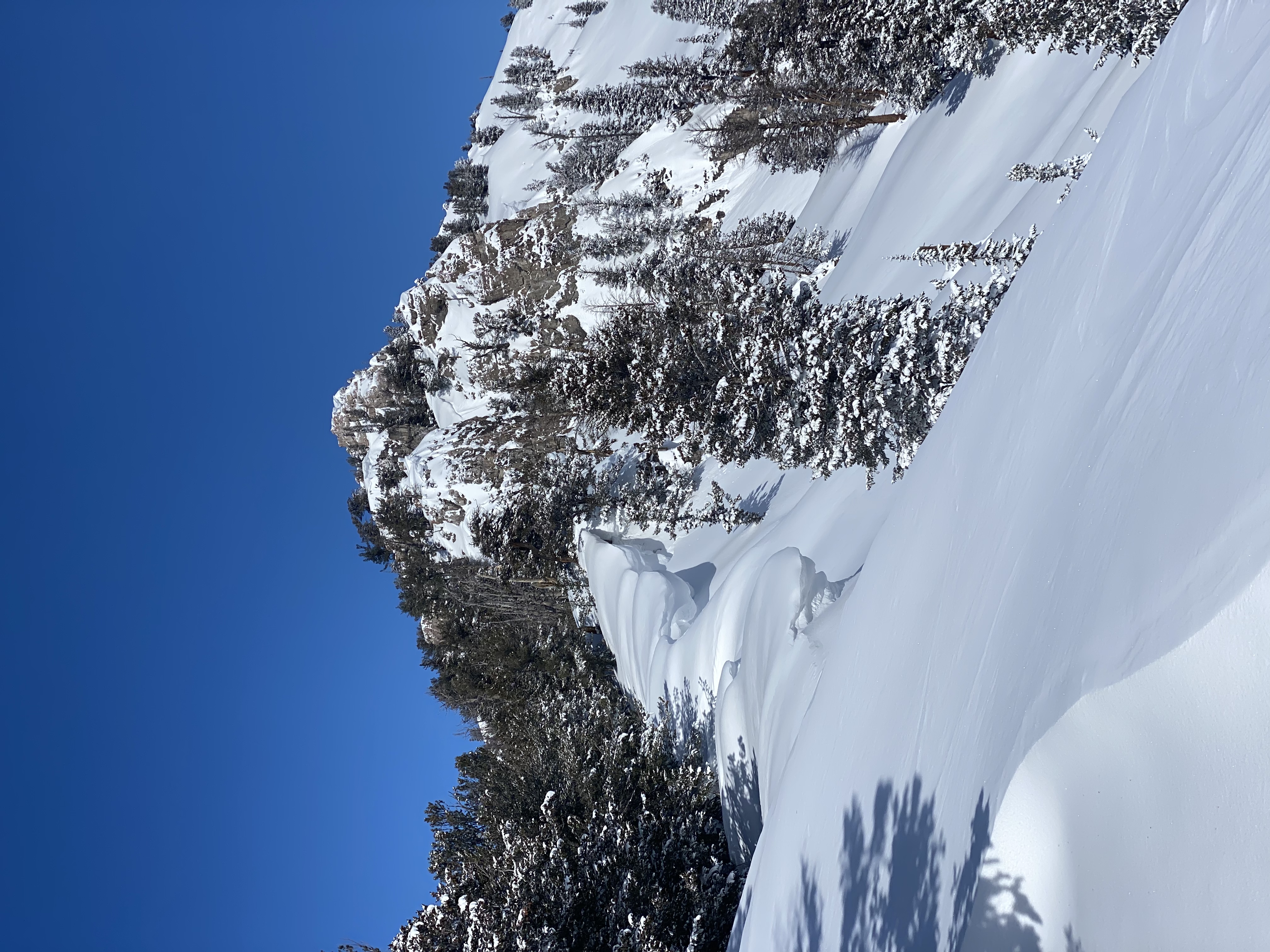
The snow is stable on most slopes in the backcountry, avalanches are unlikely, and the danger is LOW. Even so, people might trigger small wind slab or loose powder avalanches on slopes steeper than 30°. Loose avalanches entraining damp surface snow are possible in the middle of the day on sunny slopes.
  • Use normal caution.
Low
Moderate
Considerable
High
Extreme
Learn how to read the forecast here
Weather and Snow
We've found fine cold powder conditions in the backcountry this week. The snow is generally stable, and the main avalanche concern is potential for small slab avalanches of wind drifted snow. Winds from the southwest increased a tick late last night, and people could encounter fresh drifts in windy terrain today. Winds were surprising calm, and we did not see much drifting in the past few days, so today's wind could find some powder to pick up and move around. Cold air temperatures are keeping the fresh powder nice for now, with the best conditions found in sheltered northerly facing terrain with soft snow underlying the fresh powder.

The Tony Grove Snotel reports 10" of new snow from Tuesday. It's 17° F this morning, and there is 97 inches of total snow, with 125% of normal SWE. The winds at the CSI weather station at 9700' on Logan Peak are from the southwest blowing 25 to 30 mph.

Today: Partly sunny, with a high near 20. Wind chill values as low as -5. West southwest wind 9 to 13 mph.
Tonight:Partly cloudy, with a low around 8. Wind chill values as low as -5. West wind around 10 mph.
Saturday: Increasing clouds, with a high near 23. Wind chill values as low as -1. West southwest wind 10 to 18 mph.
Expect sunny and continued cold weather heading into the weekend, with a chance of a bit of snow Saturday night and Sunday morning (4 to 7 inches possible). A productive storm looks to be developing for President's day and through much of next week, with significant accumulations possible state and possibly region wide.
Recent Avalanches
This week we observed a few small natural wind slab avalanches in drifted terrain, and observers report triggering loose powder avalanches on very steep slopes.
Last Saturday, skiers near Logan Peak in Mill Hollow remotely triggered a 8" deep and 60' wide wind slab avalanche that ran around 500 vrt'. Report is HERE

For a list of avalanches in the Logan Zone go HERE
Find a list of all recent observations & avalanches from across Utah HERE.
Ad
Avalanche Problem #1
Normal Caution
Type
Location
Likelihood
Size
Description
  • Avoid corniced slopes and stiffer drifts on steep slopes near ridges and in and around terrain features like cliff bands, sub-ridges, mid-slope break-overs, and gully walls.
  • As the fresh snow is warmed by the sun it could become moist and prone to sluffing. Loose wet (moist) avalanches are possible in the middle of the day on sunny slopes.
  • Even small avalanches of wind drifted or loose snow can be a problem in steep terrain, especially if you get carried into trees, gullies, benches, or rocks.
  • Continue to practice safe travel protocols. Travel in backcountry terrain with a partner or two, but go one at a time.
  • Check your batteries and assemble your probe and shovel. Practice companion rescue with your backcountry partners, (use our beacon training park at Franklin Basin TH.)
Additional Information
We've found little evidence of recent drifting this week in the Central Bear River Range. Even along ridges with older cornices, the snow was soft powder with no sign of wind slabs. Great conditions, but there is plenty of soft snow that will easily be drifted into slabs when the winds increase. Photo of cornices and powder along the south ridge of Mt. Magog, 2-15-23 (Schumacher )
General Announcements
  • Please submit your observations from the backcountry HERE.
  • For a list of avalanche classes from the Utah Avalanche Center go HERE
  • For information on where you can ride your sled or snowbike, check out this map of the winter travel plan for the Logan and Ogden Ranger Districts HERE, and a close up of the Tony Grove and Franklin Basin Areas HERE.
This forecast is from the U.S.D.A. Forest Service, which is solely responsible for its content. This forecast describes general avalanche conditions and local variations always occur.