Forecast for the Logan Area Mountains

Issued by Toby Weed on
Saturday morning, February 15, 2020
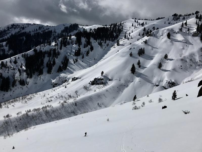
The snow is stable and the avalanche danger is LOW on most slopes in the backcountry. Exceptions with heightened conditions exist in some upper elevation terrain. The danger is MODERATE and people could trigger shallow avalanches of recently wind drifted snow on exposed steep slopes. Heavy snow and drifting from strong southwest winds tonight will cause rapidly rising avalanche danger, and backcountry avalanche conditions are likely to be pretty dangerous tomorrow.
- Evaluate upper elevation snow and terrain carefully.

Low
Moderate
Considerable
High
Extreme
Learn how to read the forecast here
Weather and Snow
It's 18°F at the 8400' Tony Grove Snotel, there is 84 inches of total snow, containing 126% of normal Snow Water Equivalent. West winds are currently blowing around 25 mph, with gusts in the 40s at the CSI Logan Peak weather station, and it's 9°F at 9700'.

It's important to continue to practice safe travel protocols even when the avalanche danger is Low.
The National Weather Service in Pocatello has issued a Winter Storm Warning for the Bear River Range north of the Utah state line, for tonight through Monday morning. It'll be mostly cloudy today with a chance of snow showers this afternoon, with high temperatures at 8500' around 27°F and increasing 17 to 22 mph west-southwest winds. Expect snow tonight, heavy at times, with a chance of some freezing rain in the mix. Low temperatures will be around 20°F, but will rise to around 28°F by morning. It'll be pretty windy, with 22 to 29 mph southwest winds and gusts in the 40s. New snow accumulation of 7 to 11 inches possible by Sunday morning. Snow will continue to be heavy at times tomorrow, with another 9 to 13 inches of accumulation possible at upper elevations near the state line. High temperatures around 30°F mid morning will drop to around 25°F in the afternoon. It will be breezy, with 26 mph west-southwest wind and gusts around 40 mph. Snow should tapper off and cease sometime Monday morning.
Recent Avalanches
Riders in the Central Bear River Range report drifting in exposed terrain and a couple small unintentional triggered wind slabs yesterday. One was 6" to 1' deep, 20' wide, running around 400 vrt' on slick bed surface.
Natural activity was fairly widespread in the Logan Zone during the last windy and warm storm.
Avalanche Problem #1
Wind Drifted Snow
Type

Location

Likelihood

Size

Description
People might trigger avalanches of recently wind drifted snow on some exposed upper elevation slopes.
- Watch for and avoid drifts near ridge lines and in and around terrain features like cliff bands, scoops, gully walls, and sub-ridges.
- Avoid ridge top cornices, which can break much further back than expected and could start avalanches on slopes below.
Additional Information
We found mostly stable snow and LOW danger in the Logan Zone this week, but a strong winter storm with heavy snowfall and strong winds will create dangerous avalanche conditions on many slopes in the backcountry tomorrow.
We found a deep and stable snowpack in Hells Kitchen, but there is some weak graupel and rimed snow near the surface.
General Announcements
Thanks to the generous support of our Utah ski resorts and Ski Utah, we have discount lift tickets available. All proceeds from these go towards paying for avalanche forecasting and education! Get your tickets HERE.
EMAIL ADVISORY. If you would like to get the daily advisory by email you subscribe HERE.
Remember your information can save lives. If you see anything we should know about, please help us out by submitting snow and avalanche observations....HERE. You can also call us at 801-524-5304, email by clicking HERE, or include #utavy in your tweet or Instagram.
This forecast is from the USDA Forest Service, which is solely responsible for its content. The forecast describes general avalanche conditions and local variations always occur.
I will update this forecast before about 7:30 tomorrow morning.