Forecast for the Logan Area Mountains

Issued by Toby Weed on
Tuesday morning, February 11, 2020
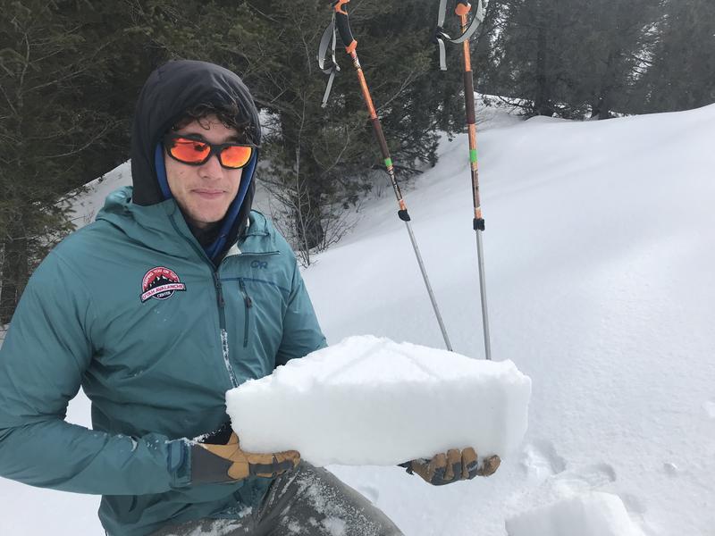
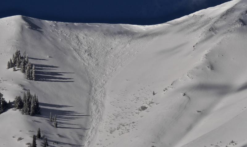
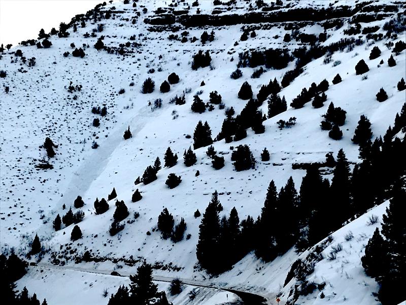
The snow is stable on most slopes and the avalanche danger is LOW in the backcountry today. Low danger does not mean No danger, and on isolated very steep slopes at upper elevations people still might trigger avalanches of previously wind drifted snow, failing on a sugary persistent weak layer.
- Use normal caution, check everyone's avalanche rescue gear, and continue to practice safe travel protocols.

Low
Moderate
Considerable
High
Extreme
Learn how to read the forecast here
Weather and Snow
It's 10°F at the 8400' Tony Grove Snotel, and there is 87 inches of total snow, containing 136% of normal Snow Water Equivalent. The station recorded almost 5"of SWE with the windy and warm late week storm. Northwest winds are currently blowing around 15 mph at the CSI Logan Peak weather station, and it's 4°F at 9700'.
Much cooler temperatures have solidly set up the wet snow at lower elevations, and the snow is now hard and stable. A widespread thick rain-crust, translucent and brittle in places, exists in the southern part of the zone and the Logan Peak Area, even at high elevations. Further to the north we are finding better riding conditions. There is a smooth rime-crust on exposed slopes and the surface snow is a mix of graupel and heavily rimed snow.

Friday's slushy snow has frozen into a 6-inch-thick, solid and very supportable crust at 5800' in Logan Canyon.
A ridge of high pressure will build in over the region today. Expect sunny conditions, with high temperatures at 8500' around 22°F. This morning's north winds will increase a bit and veer from the west, and blow 17 to 22 mph, creating wind chill values as low as -12°F. A disturbance will move into northern Utah late tonight and early Wednesday. There is a chance of snow showers tonight and it'll be mostly cloudy with low temperatures around 11°F and 21 to 23 mph west wind. Snow showers are possible tomorrow morning, and it'll be mostly cloudy with a high temperature around 24°F, and decreasing 13 to 18 mph west wind. Another weak system will cross the zone Friday night before the jet stream amplifies and a stronger system arrives late Sunday.
Recent Avalanches
Clearing Saturday morning allowed us to get views of fairly widespread natural avalanche activity in the Wellsville Mountain Wilderness, including this nice fresh avalanche of wind drifted snow in Old Logway Canyon. The avalanche appears to be two to three feet deep and 300' to 400' wide, running well over 2000 vrt', but stopping just short of the flats on Maple Bench.

Natural wet avalanches hit highway 89 in the Dugway Area of Logan Canyon and forced it's closure around 3:00 Friday afternoon. The highway was closed for a couple hours so crews could clear the debris.

Avalanche Problem #1
Normal Caution
Type

Location

Likelihood

Size

Description
The snow is stable on most slopes, the danger is LOW, and avalanches are generally unlikely. Low danger does not mean No danger, and avalanches remain possible on some isolated upper elevation slopes facing the east half of the compass. People might trigger avalanches of previously wind drifted snow failing on a sugary persistent weak layer from last week.
- Watch for and avoid old drifts near ridge lines and in and around terrain features like cliff bands, scoops, gully walls, and sub-ridges.
- Avoid ridge top cornices, which can break much further back than expected and start avalanches on slopes below.
General Announcements
Are you looking to improve your avalanche skills? We are offering a Backcountry 101: Introduction to Avalanches class at Powder Mountain February 14-15. Info and sign up HERE
Thanks to the generous support of our Utah ski resorts and Ski Utah, we have discount lift tickets available. All proceeds from these go towards paying for avalanche forecasting and education! Get your tickets HERE.
EMAIL ADVISORY. If you would like to get the daily advisory by email you subscribe HERE.
Remember your information can save lives. If you see anything we should know about, please help us out by submitting snow and avalanche observations....HERE. You can also call us at 801-524-5304, email by clicking HERE, or include #utavy in your tweet or Instagram.
This forecast is from the USDA Forest Service, which is solely responsible for its content. The forecast describes general avalanche conditions and local variations always occur.
I will update this forecast before about 7:30 Thursday morning.