Forecast for the Logan Area Mountains

Issued by Paige Pagnucco on
Monday morning, December 22, 2025
Monday morning, December 22, 2025
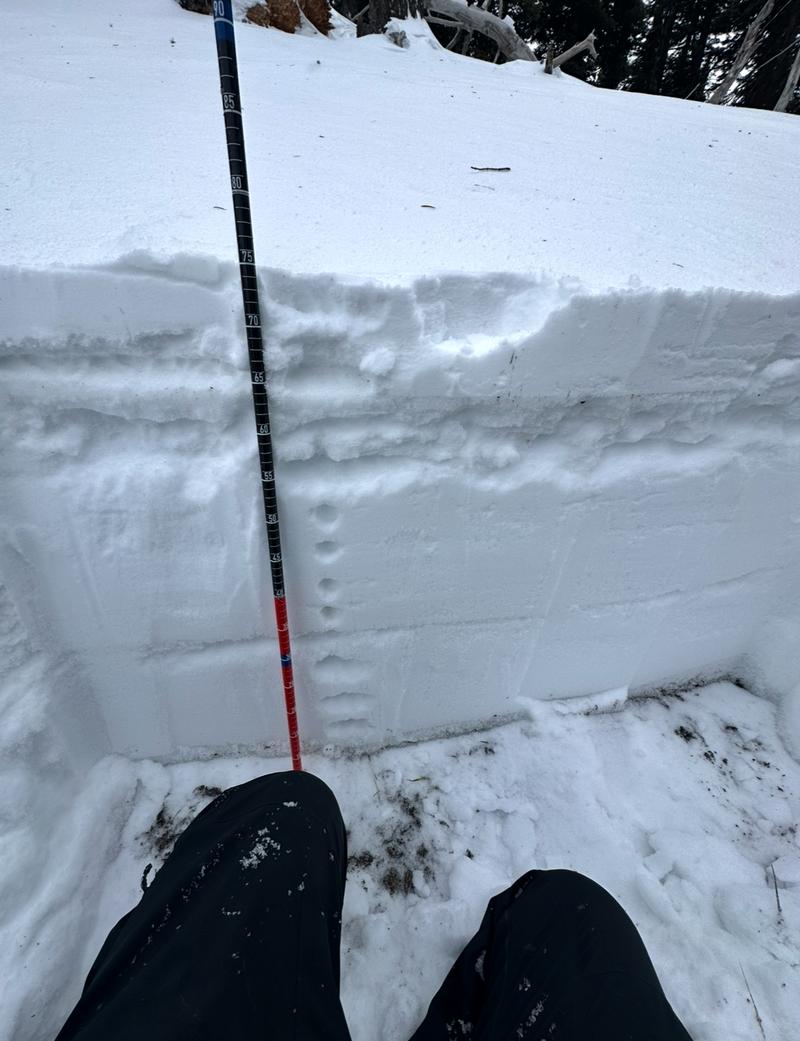
Avalanche danger is MODERATE at upper elevations on northwest through southeast-facing slopes. Winds blowing from the west-southwest may create shallow, dense slabs of wind-drifted snow on the lee side of ridges and around terrain features, like sub-ridges and gullies. While crusts cap early-season facets on many slopes, triggering 1–2 foot-deep avalanches remains possible—especially where the slab is thinner, the crust is weak, or wind-drifted snow could step down.
Warm temperatures may cause wet loose avalanches in very steep terrain. Move to lower-angle slopes if you see rollerballs or start sinking in above your ankles into saturated snow.
Evaluate snow and terrain carefully.
Below 7,000 feet, snow cover is minimal or non-existent.

Low
Moderate
Considerable
High
Extreme
Learn how to read the forecast here