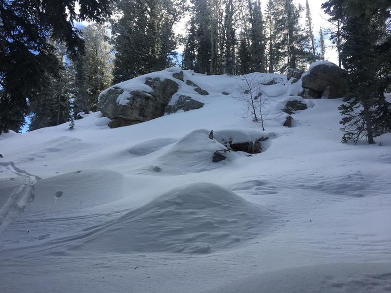
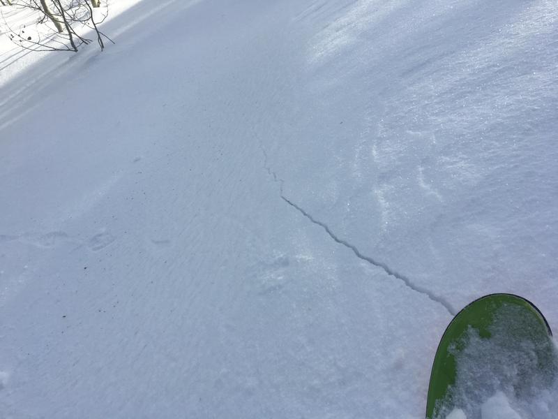
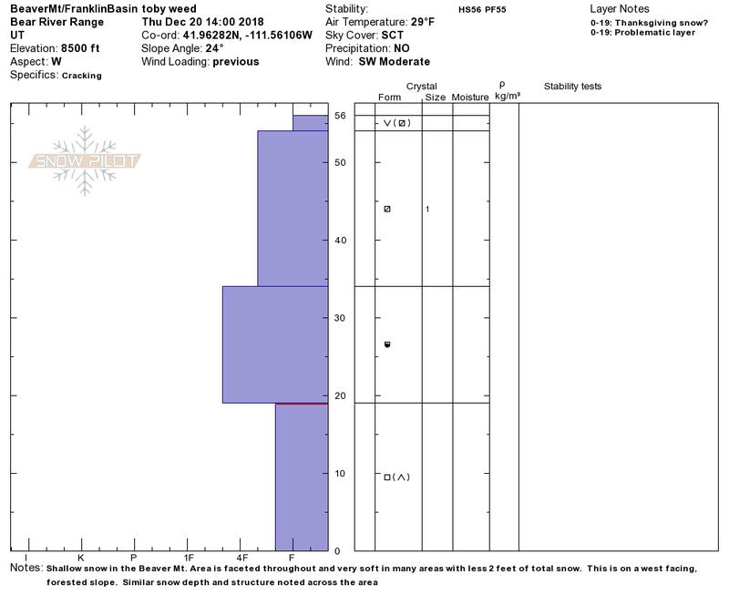
Southwest winds cranked up again overnight, but they won't find much more soft snow to drift. West and southwest winds have stolen the headlines in the last few days drifting snow at upper elevations and creating heightened avalanche conditions. You can find good access and pretty good coverage for this time of year, but the snow is still just a bit too shallow to ride in steep terrain or to get aggressive with your throttle.
The Tony Grove Snotel at 8400' reports a balmy 35º F and 33"of total snow, containing 87% of average SWE for the date. It's 25º F and southwest winds are humming along in excess of 30 mph this morning at the 9700' CSI Logan Peak weather station, with gusts in the 50s.
A series of weather systems will impact the region beginning today, continuing through Christmas day. We'll see 1 to 3 inches of snow in the mountains today, with cloudy skies and high temperatures at 8500' around 32º F. West wind around 21 mph is expected. Snow will continue tonight, with 1 to 3 inches possible, and 10 to 20 mph west wind. Low temperatures will be around 8º F and wind chills will be as low as -6. Tomorrow will be partly sunny and cold, with 14 to 21 mph west wind, high temperature near 21º F, and wind chills around -12.
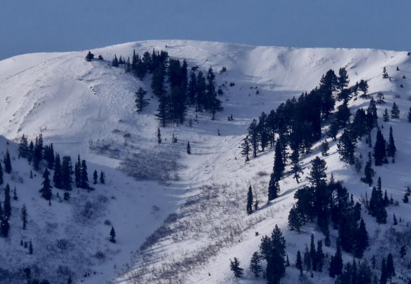
Looking west from Mendon yesterday morning we noticed some natural avalanche activity yesterday due to wind drifted snow on steep slopes near the ridge in the Wellsville Mountain Wilderness.