Donate to the 2024 Spring Campaign to help rebuild the UAC website.

Forecast for the Logan Area Mountains

Toby Weed
Issued by Toby Weed for
Friday, November 23, 2018
Expect rising avalanche danger today as heavy snow piles up and is drifted into avalanche starting zones. Heightened avalanche conditions exist this morning on upper and mid elevation slopes with preexisting snow. The danger will rise to CONSIDERABLE this afternoon at upper elevations, with human triggered avalanches likely and naturals possible.
Low
Moderate
Considerable
High
Extreme
Learn how to read the forecast here
Special Announcements
Join us on Wednesday December 5th to celebrate the coming of winter! Our 15th Annual Pray for Snow Party and Fundraiser is at The Cache with music from Two Headed Trout, pizza from Lucky Slice, beverages from Moab Brewery, and a raffle and silent auction if amazing donated items. Thanks for your support of avalanche awareness and education. We look forward to seeing you! Tickets available online: CLICK HERE.
Weather and Snow
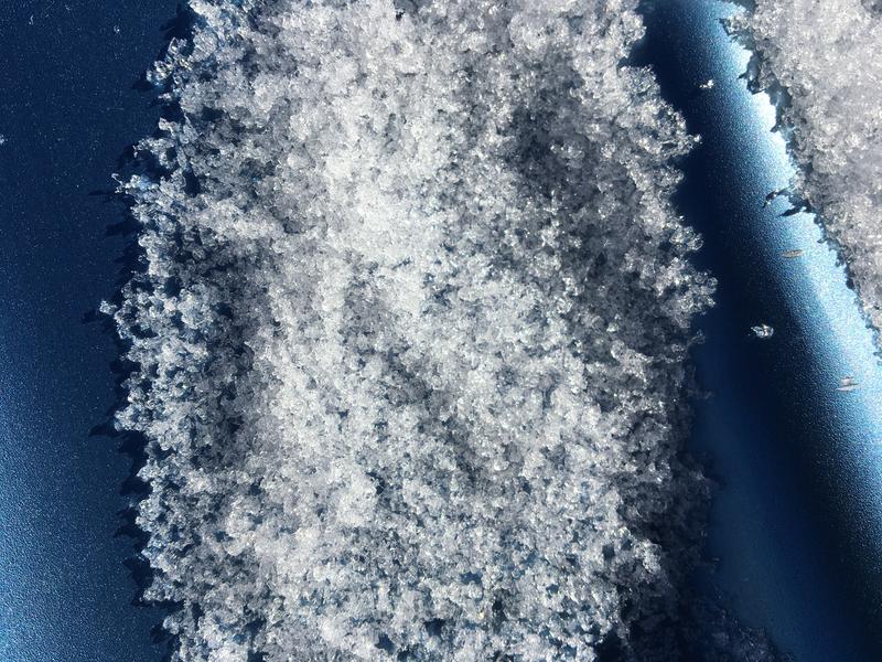
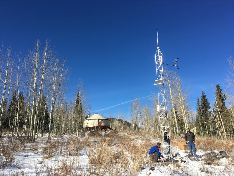
The Tony Grove Snotel at 8400' reports 8 inches of new snow containing .8" Snow Water Equivalent in the last 24 hours. There is 14 inches of total snow with 48% of average SWE for the date. Westerly winds at the 9700' CSI Logan Peak weather station and are blowing 30 mph with a gust of 53 mph recorded this morning. Expect light snowfall and westerly winds to continue this morning, with snowfall intensifying this afternoon and a southerly wind shift. Snowfall this evening could be heavy in the Logan Zone as a warm front advances, combining forces with a moisture plume from the Pacific Atmospheric River. Warm advection will continue tonight ahead of a strong cold front, which will bring significant snow accumulations, very strong winds, and dangerous avalanche conditions on slopes with previous snow cover.
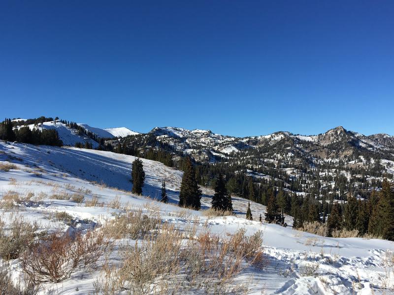
Looking northwest across Beginner Bowl at the Naomi Peak area west of Tony Grove Lake, 11-19-18.
Ad
Avalanche Problem #1
Persistent Weak Layer
Type
Location
Likelihood
Size
Description
Shallow and very weak faceted snow exists under the fresh powder on shady upper and mid elevation slopes. The danger of persistent slab avalanches will continue to increase this weekend as heavy snow stacks up and is drifted onto the weak old snow in avalanche starting zones.
The shallow snow under the fresh powder on north facing slopes at upper elevations is plagued by loose, sugary faceted snow.
Avalanche Problem #2
Wind Drifted Snow
Type
Location
Likelihood
Size
Description
Avoid drifted fresh snow in steep terrain at upper elevations. Westerly and southwest winds will continue to drift snow into avalanche starting zones.
Additional Information
The Tony Grove Road is open but not maintained for winter travel of wheeled vehicles. It is quite icy currently under the fresh snow in shady areas and on the upper section. Accumulations and drifting snow this weekend will likely make conditions serious, so be prepared. Snow is starting to pile up on the slopes of Beaver Mountain, and managers are glad to allow uphill traffic. You can avoid the Tony Grove Road challenge, find generally safe conditions in lower angled terrain, and help pack out the ski hill. Remember, before it opens Beaver Mountain is the backcountry.
General Announcements
Join the UAC for the 2nd Annual Ogden Backcountry Bash at The Front Climbing Gym in Ogden. Beer, pizza, silent auction, prizes, and climbing! November 29 6:30 PM - 9:30 PM The Front Climbing Club, 225 20th street, Ogden UT 84401
Utah State University Outdoors Program is hosting a Know Before You Go avalanche awareness clinic on Wednesday November 28th at 7pm at the OP Rental Shop. The event is FREE and open to the public.
Weber State University Outdoor Program just installed a new weather station at 7900' near their Bloomington Canyon Yurt in Bear Lake County Idaho. Stay tuned for useful weather data from this, as it will be made available to the public soon.