Get Your Ticket to the 32nd Annual Backcountry Benefit on September 11th! Support Forecasting, Awareness, and Education
Ad

Forecast for the Logan Area Mountains

Toby Weed
Issued by Toby Weed on
Monday morning, November 16, 2020
Heightened avalanche conditions and MODERATE danger exist on steep upper and mid elevation slopes in the backcountry, and people could trigger avalanches of wind drifted snow. Warm mountain temperatures today and tomorrow will also cause an increasing danger of loose wet avalanches on very steep slopes.
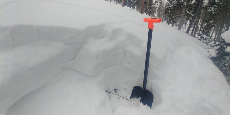
Avoid very steep drifted slopes and sunny slopes with saturated snow. Even a very small, early season avalanche can be very dangerous if you are caught carried over rocks or raked through bushes and stumps.
Low
Moderate
Considerable
High
Extreme
Learn how to read the forecast here
Weather and Snow
Mountain temperatures will increase significantly in the next couple days, with daytime temperatures in the mid forties at 9000' expected tomorrow. Looks like about 5 inches of new snow fell overnight, and there is 22 inches of total snow at the 8400' Tony Grove Snotel. A couple feet of heavy snow and graupel fell at upper elevations, and strong west and southwest winds plastered it into the terrain. Southwest winds are still cranking at the 9700' CSI Logan Peak weather station, with average wind speeds close to 30 mph and gusts pushing 50 mph.
Heavy new snow and significant wind drifting created heightened avalanche conditions on many steep upper and mid-elevation slopes and despite rapid settlement, people could still trigger avalanches of wind drifted new snow. Warmth will cause an increasing danger of wet avalanches during the day, especially in sunny terrain.
Yesterday an observer triggered shooting cracks by collapsing a buried wind slab on a north facing slope around 8000' in elevation.
Recent Avalanches
Please report what you are seeing out there, especially any new avalanche activity. No avalanches were reported yet in the zone.
Ad
Avalanche Problem #1
Wind Drifted Snow
Type
Location
Likelihood
Size
Description
Avalanches of fresh wind drifted snow are possible on all steep upper and mid elevation slopes, most likely on slopes facing the eastern half of the compass. Even a small wind slab avalanche could be very dangerous due to shallow early season snow conditions. You do not want to get caught and carried over rocks or strained through bushes and stumps, so it's best to avoid travel on all steep drifted slopes.
Avalanche Problem #2
Wet Snow
Type
Location
Likelihood
Size
Description
Loose wet avalanches are possible this afternoon on very steep sunny slopes.
Additional Information
As snow starts to accumulate in the backcountry, it’s a good idea to tone it down because it’s pretty easy to get hurt in shallow snow, and it’s absolutely the worst time to do so because you could ruin your whole season.
  • Avoid going too fast, maintain control, and be conservative.
  • Stick to smooth, grassy, low-angled slopes.

There is not yet enough snow to cause much risk of avalanches on most slopes now, but shallow, early season snow conditions can still be quite dangerous. Recently, shallow snow conditions are to blame for the tragic death of a Bozman woman who died while skiing a steep chute in the Montana backcountry (info here). Also, for that of a British Columbia snowboarder who was killed by head trauma in a “freak backcountry accident” while skiing on his split board in relatively flat, rolling terrain. He was found with his helmet off his head and on his backpack (info here).
General Announcements
The Tony Grove Road is not maintained for wheeled vehicles in the winter, and you can expect very poor driving conditions. Be sure you are dressed for winter and have a shovel and emergency items if you do attempt to drive up. Please keep your speed down and be patient.
EMAIL ADVISORY. If you would like to get the daily advisory by email you subscribe HERE.
Remember your information can save lives. If you see anything we should know about, please help us out by submitting snow and avalanche observations....HERE. You can also call us at 801-524-5304, email by clicking HERE, or include #utavy in your tweet or Instagram.
This forecast is from the USDA Forest Service, which is solely responsible for its content. The forecast describes general avalanche conditions and local variations always occur.