Forecast for the Logan Area Mountains
Sunday morning, January 25, 2026
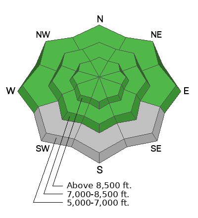
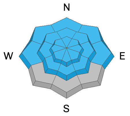
The avalanche danger is LOW, and avalanches are unlikely. Watch for unstable wind-drifted snow in upper elevation terrain.
***Join us for a Backcountry 101 for snowmobilers on January 28 and 29. This life-saving course is designed for snowmobilers and snow bikers taking their first on-snow avalanche class or looking to refresh previous training. For more information and to sign up, click here.
Did you know the UAC hosts a podcast?
Episode 2 of Season IX is just out - AI, Machine Learning, and the Value of Expert Intuition at the Utah Avalanche Center.
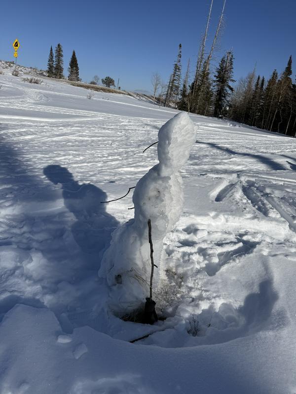
The snow surface is getting tired, and riders have to hunt for soft " recrystallized" snow. What isn't tracked up offers a variety of rough surfaces, including wind buff, melt freeze crusts, etc., not the typical riding conditions we are used to in late January. Snow depths are four to five feet in upper elevations, but low and mid-elevations are exceptionally thin, creating hazardous travel conditions due to rocks, downed trees, and barely covered branches.
This morning at the UAC Card Canyon weather station at 8700 feet, it's a chilly 4°F, and there is 41" of total snow. The Tony Grove Snotel at 8400 feet reports 10°F and 54" of total snow. On Logan Peak at 9700 feet, winds are blowing from the northwest at 29 mph and gusting to 38 mph. It's 2°F (wind chill is -21°F) on Paris Peak at 9500 feet, and the wind is blowing from the west-southwest at 23 mph and gusting to 33 mph.
Today will be very cold in the mountains, with highs in the teens F (wind chill in upper-elevation, exposed terrain will be in the negative teens F), and winds blowing from the north-northwest at 10 - 15 mph. Cloud cover should decrease throughout the day.

No avalanches have been reported recently. For all observations and avalanche activity in the Logan Zone, go HERE.
Traveling conditions are decent in the backcountry, and the snow is generally stable. You can expect generally safe avalanche conditions, but remember, LOW danger doesn't mean there's NO danger. Now is a great time to get out in the mountains, explore new terrain, and practice companion rescue with your backcountry partners in the fresh air and sunshine.
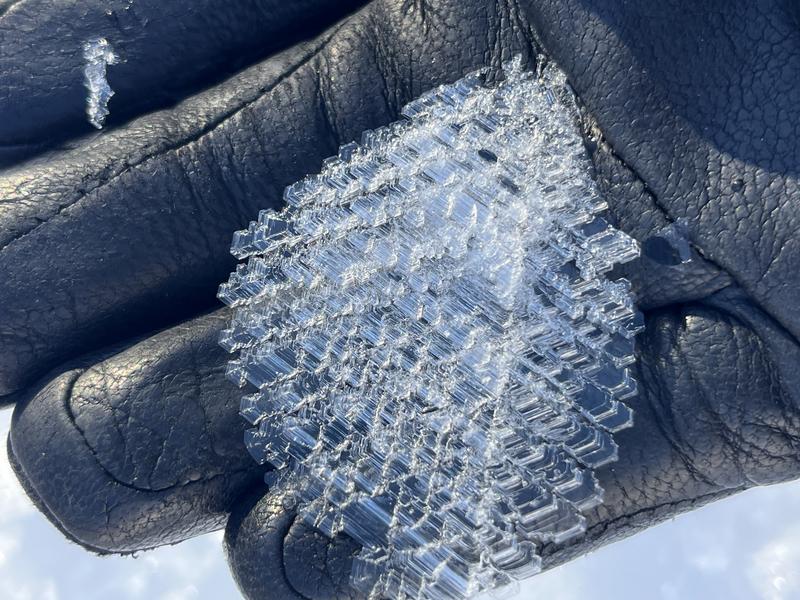
Surface hoar, pictured above, is just one of the many weak surface layers we are currently tracking. While super fun to ride through, this beautiful frost crystal can, once buried, become a persistent weak layer.
Use safe travel practices: travel with a partner, and cross or ride steep slopes one at a time while the rest of your group watches from a safe spot.
Are you interested in learning more about avalanches? Visit our education page for details on all our classes.
For more information, visit the UAC weather page here: UAC Weather Page For Logan-specific weather, go here: Logan Mountain Weather
-For all questions on forecasts, education, Know Before You Go, events, online purchases, or fundraising, call 801-365-5522.
-Remember, the information you provide could save lives, especially if you see or trigger an avalanche. To report an avalanche or submit an observation from the backcountry, go HERE
-Receive forecast region-specific text message alerts to receive messages about changing avalanche conditions, watches, and warnings. Sign up and update your preferences HERE
This forecast is from the U.S.D.A. Forest Service, which is solely responsible for its content. This forecast describes general avalanche conditions and local variations always occur.