Forecast for the Abajos Area Mountains

Eric Trenbeath
Issued by Eric Trenbeath for
Thursday, March 17, 2022
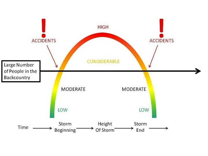
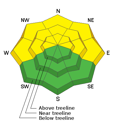
There is a MODERATE avalanche danger on steep slopes facing W-NW-N-NE-E and human triggered avalanches failing on a buried persistent weak layer over 2 feet deep are POSSIBLE. These avalanches are a very real possibility. These are tricky avalanche conditions and it is important to evaluate each slope carefully for safe backcounty travel today.
Low
Moderate
Considerable
High
Extreme
Learn how to read the forecast here
Weather and Snow
The mountains picked up 3"-4" of snow from the system that is now existing the area. An upper level trough is exiting the region leaving mountain cloudiness in its wake. Look for partly sunny skies today with NW winds blowing in the 20-25 mph range with gusts to 30 along ridge tops. High temps at 10,000' will be in the low 30's. A weak shortwave will bring more clouds to the area tonight. The next system and chance for snow comes on Sunday. It doesn't look like anything major.
Snow totals and temps at Buckboard SNOTEL (8924')
Snow totals and temps at Camp Jackson SNOTEL (8858')
Snowpack
The snow pack has taken a hit from this warm weather and all sun exposed slopes are crusted over. Even low angle north facing slopes have been affected. A buried persistent weak layer of faceted snow that formed during the Jan-Feb high pressure remains a concern and it is still capable of producing avalanches over two feet deep.
Recent Avalanches
It was an active weekend throughout the state for human triggered avalanches with almost all of the other zones reporting accidents and near misses. A lot can be learned from these reports, and it's certainly worth your time to read through them.
Avalanche Problem #1
Persistent Weak Layer
Type
Location
Likelihood
Size
Description
A persistent weak layer of loose, sugary faceted snow exists on W-N-E aspects beneath a slab that is 2' -3' thick. This problem is most pronounced on slopes facing NW-N-NE-E near treeline and below and the weak layer is easy to locate with your shovel. The weakest snow can be found on northerly aspects right around treeline and below. Above treeline the weak layer distribution is much more variable and it is hard to track. The bottom line is that attempting to outsmart this avalanche problem is a dangerous proposition. Likely trigger points include areas of shallow snow, slope margins, rocky outcroppings, and steep convex roll overs. If you are of the mindset to begin creeping into avalanche terrain keep in mind that signs of instability will no longer be obvious but that is not necessarily an indication of stability.
This graphic shows the correlation between avalanche accidents and the danger rating. Regardless of whether it is a rising or falling danger, most accidents occur during the transition between Considerable and Moderate danger.
General Announcements
Who's up for some free avalanche training? Get a refresher, become better prepared for an upcoming avalanche class, or just boost your skills. Go to https://learn.kbyg.org/ and scroll down to Step 2 for a series of interactive online avalanche courses produced by the UAC.
This forecast is from the U.S. Forest Service, which is solely responsible for its content. This forecast describes general avalanche conditions and local variations always occur.