Forecast for the Abajos Area Mountains

Eric Trenbeath
Issued by Eric Trenbeath for
Sunday, February 20, 2022
Most terrain has LOW danger. An isolated, or MODERATE danger exists for triggering a small avalanche involving last week's storm snow, and the loose, weak, sugary faceted snow that lies underneath. Taking the form of soft slabs, or loose snow sluffs, these should be generally small and inconsequential at this time. With snow in the forecast the danger will increase this week, and steep, northerly facing slopes will likely need to be avoided.
Low
Moderate
Considerable
High
Extreme
Learn how to read the forecast here
Weather and Snow
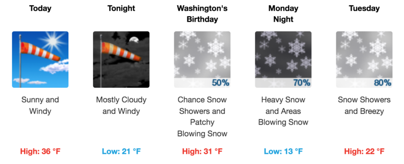
If you haven't had enough sunshine over the past six weeks today is your last chance to get some for awhile. By Monday, a broad low pressure trough and associated multi-day storm system will begin to invade the region. The first wave will have a greater impact on points north though we should still get a shot of snow Monday night into Tuesday. The next wave favors our area with a better chance for significant snowfall starting Tuesday night into Wednesday. This looks like a pretty good event and I'm cautiously optimistic for a foot or more of snow through the duration.
Snow totals and temps at Buckboard Flat (8924')
Snow totals and temps at Camp Jackson (8858')
Snowpack
The mountains north of Jackson Ridge picked up 8"-10" of new, low density snow on Wednesday greatly improving conditions up North Creek. NW winds on Wednesday night did a number on things along the highest ridges and we found alternating scoured surfaces and stiff, fresh wind drifts. Nice, soft powder can be found out of the wind zone, sun exposed slopes have taken on heat and will be crusted over.
The recent snow has fallen on a variety of tired and worn surfaces including bare ground on southerly aspects. On shady slopes, the new snow is sitting on top of old, weak and sugary, faceted snow. In very steep terrain, the new snow can sluff off taking the top several inches of old snow with it. In other areas, a more cohesive soft slab has started to develop within the new snow, and the bond with the old faceted surface is poor. All of this indicates a return to a persistent weak layer problem in the near future.
Avalanche Problem #1
Persistent Weak Layer
Type
Location
Likelihood
Size
Description
During this long period of high pressure, the snowpack has become loose, weak, and faceted. In some areas, this weak snow has formed near the surface, while in others it makes up the entire snowpack. With the addition of recent and wind drifted snow, these weak facets are now buried and are acting as persistent weak layer. For now, the likelihood and consequences of triggering an avalanche on his weak layer are small, but with snow in the forecast this week the likelihood will increase, and steep, notherly facing slopes will be off limits.
General Announcements
Who's up for some free avalanche training? Get a refresher, become better prepared for an upcoming avalanche class, or just boost your skills. Go to https://learn.kbyg.org/ and scroll down to Step 2 for a series of interactive online avalanche courses produced by the UAC.
This forecast is from the U.S. Forest Service, which is solely responsible for its content. This forecast describes general avalanche conditions and local variations always occur.