Forecast for the Abajos Area Mountains

Eric Trenbeath
Issued by Eric Trenbeath for
Wednesday, February 16, 2022
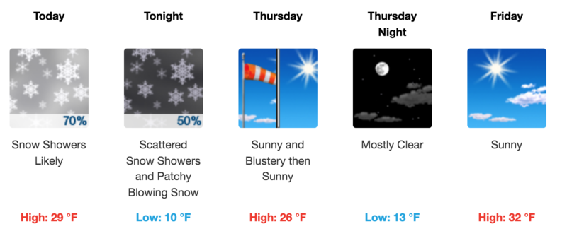
New snow amounts will not affect avalanche conditions and the danger remains LOW on all aspects and elevations.
It's also still very low tide out there. Beware of rocks, stumps, and deadfall lurking beneath the surface.
Low
Moderate
Considerable
High
Extreme
Learn how to read the forecast here
Special Announcements
We will be holding a Backcountry 101 course Feb 18, 19. It's a great introduction to understanding avalanche hazard and how to travel through the mountains safely. Go here for details and to register. And a huge thanks to our friends at Moab Gear Trader for their sponsorship of this course!
Weather and Snow
A trough and associated cold front will move through the area today bringing a chance for light snowfall to the mountains. Mostly light SW winds will shift to NW by this afternoon after the front passes through. A chance for snow showers will linger into tonight followed by clearing skies and blustery NW winds on Thursday as dry northwesterly flow and a ridge of high-pressure rebuilds to the west. The next hope for snow and a change in the pattern comes early next week.
Snow totals and temps at Buckboard Flat (8924')
Snow totals and temps at Camp Jackson (8858')
Snowpack
Light snowfall amounts will not affect the avalanche danger, nor are they likely to improve conditions much but it will be good to see the sun go away! Over the past several weeks, the snow surface has been subject to the ravages of wind and sun and conditions are variable. Depths across the range average 2'-3' deep above about 9000' on northerly aspects while many south facing slopes are bare. Snow on northerly facing slopes has grown weak and sugary near the surface, and slopes that have held snow since October, also have a weak, sugary, faceted layer at the base of the snowpack. Human triggered avalanches are unlikely at this time, but this sugary, faceted snow is forming a weak layer for future snow loads if and when they finally come.
The video below describes the weak, faceted snow we are finding near the surface in the La Sal Mountains.
General Announcements
Who's up for some free avalanche training? Get a refresher, become better prepared for an upcoming avalanche class, or just boost your skills. Go to https://learn.kbyg.org/ and scroll down to Step 2 for a series of interactive online avalanche courses produced by the UAC.
This forecast is from the U.S. Forest Service, which is solely responsible for its content. This forecast describes general avalanche conditions and local variations always occur.