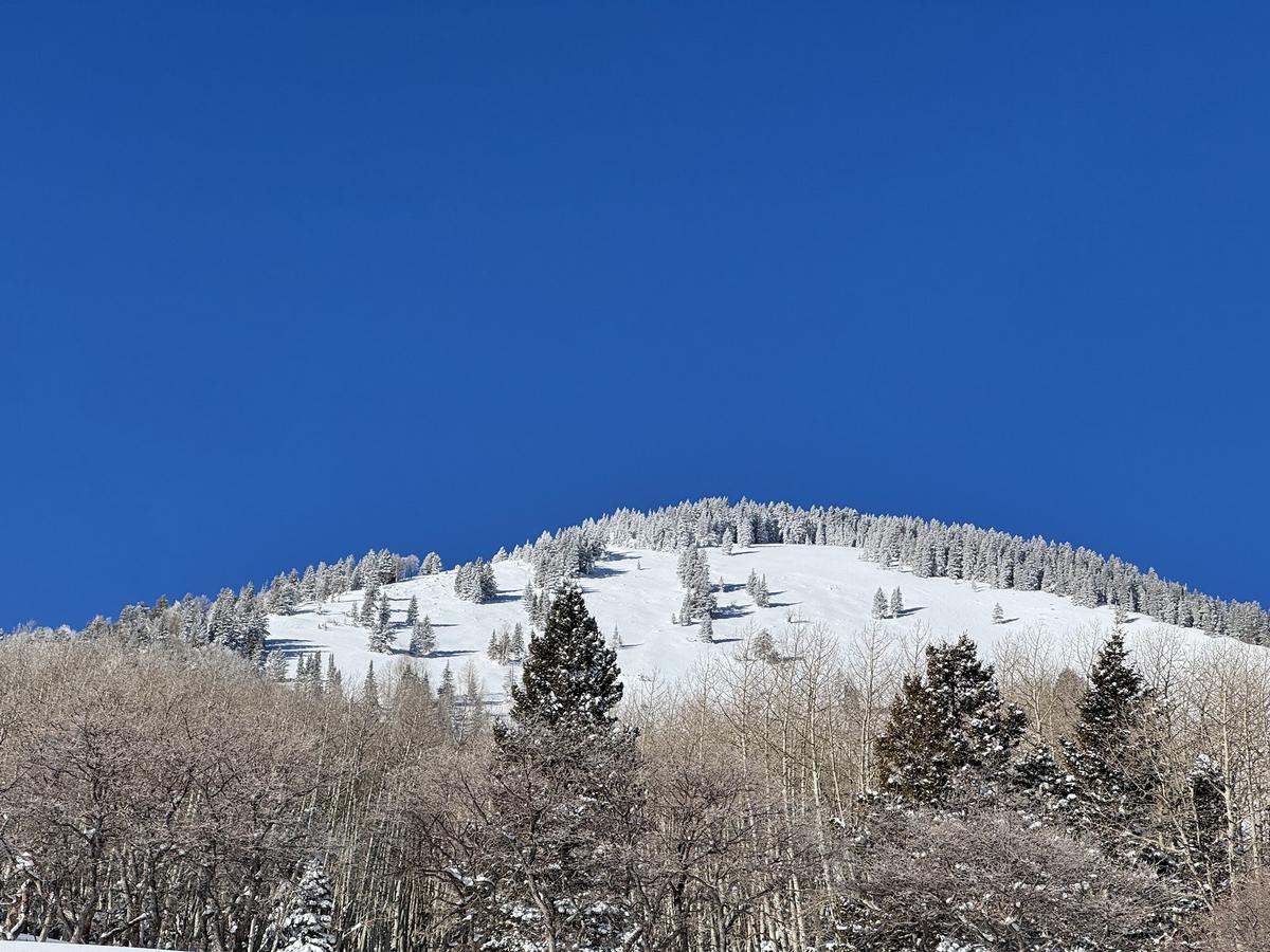
Forecast for the Abajos Area Mountains

Eric Trenbeath
Issued by Eric Trenbeath for
Monday, February 12, 2024
The likelihood is slowly decreasing but you can still trigger a deep and dangerous avalanche primarily on steep slopes that face NW-N-NE-E. In these areas, recent and wind drifted snow has overloaded buried weak layers in the snowpack to create unstable conditions. Give the snowpack a little more time to adjust before venturing into this kind of terrain.
Low
Moderate
Considerable
High
Extreme
Learn how to read the forecast here
Weather and Snow
It's been a big start to February in the Abajo/Blue Mountains with more than 2' of snow containing 4.0"-5.0" of Snow Water Equivalent since Feb 1. This has been a tremendous load on the weak, underlying snowpack. Cory Noonan and Mathew Cozart were out and about over the weekend and they reported an avalanche in Buckboard Bowl that ran during the last storm cycle, likely around Feb 8. They also reproted collapsing in the snowpack, a red flag sign of instability as well as unstable test results. You can read more about their travels in this observation. All of this tells us that the snowpack has not yet adjusted to the load, and that you can still trigger a deep and dangerous avalanche. The danger is greatest on steep slopes facing NW-N-NE-E, and this terrain should still be avoided.
Buckboard Bowl avalanche from the last storm cycle. Photo by Cory Noonan.
NWS forecast for the Abajo Mountains.
Snow totals and temps at Buckboard Flat (8924')
Snow totals and temps at Camp Jackson (8858')
General Announcements
This forecast is from the U.S.D.A. Forest Service, which is solely responsible for its content. This forecast describes general avalanche conditions and local variations always occur.