
Greg Gagne
Forecaster
Our Week in Review highlights significant snowfall, weather, and avalanche events of the previous week. (Click here to review the archived forecasts for the Salt Lake mountains.)
The danger roses for the Salt Lake mountains from Friday, January 24 through Thursday, January 30, 2020:

Summary: As evidenced by the abundance of green in the danger roses, overall general stability in the snowpack, with a storm system arriving early in the week with avalanche activity occurring during the storm.
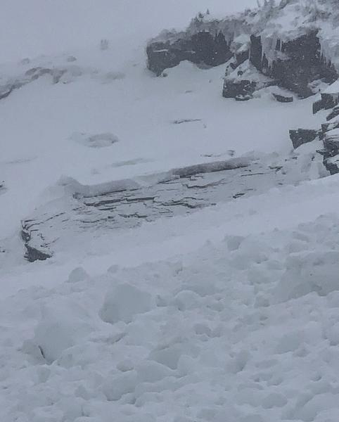
Friday, January 24: Stable conditions. However, a glide avalanche is reported on Diving Board in Broads Fork. (observation) [Mark White photo]
Saturday, January 25: Clouds give way to clearing skies and warming temperatures. A few small avalanches are reported from the backcountry, as well as some wet activity on steep south-facing slopes. Of note is another glide avalanche from Broads Fork: (observation)
Sunday, January 26: Warm temperatures and increasing clouds ahead of a storm system arriving overnight. No backcountry avalanches are reported.
Monday, January 27: During a winter that continues to give, another over-producing storm. Snow totals include 10-15" in the Cottonwoods and 6-8" along Park City ridgeline. A natural avalanche cycle occurred early Monday morning during a period of heavy precipitation. The photo below shows Cardiac Ridge with several debris piles visible.

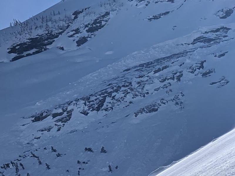
Avalanche activity involved sensitive soft slabs and fresh wind drifts, mostly failing at the interface between the new and old snow. The photo below is from South Monitor along the Park City ridgeline

Tuesday, January 28: Additional soft slabs and fresh wind drifts are reported from the backcountry. These were generally shallow, however, one slide in White Pine Canyon was 6" deep and 150' wide (observation).
Wednesday, January 29: The most notable avalanche occurred on a north-facing slope at 10,000' in Days Fork. This slide was 12-16" deep and 200' wide, running 400' vertical. The avalanche failed on a preserved layer of faceted snow that was buried underneath storm snow from this week. (observation)

Thursday, January 30: An increase in winds overnight and into the early morning, Generally stable conditions in the backcountry, however two small avalanches are reported from the backcountry, both involving fresh wind drifts. One involved a catch-and-carry on a steep southeast aspect on Mount Superior (observation). Fortunately, no injuries.


