Observer Name
Garcia
Observation Date
Monday, January 1, 2024
Avalanche Date
Sunday, December 24, 2023
Region
Moab » Miner's Basin » Pilot Mt.
Location Name or Route
Pilot Mt. NW Gullies
Elevation
11,400'
Aspect
Northwest
Slope Angle
Unknown
Trigger
Natural
Avalanche Problem
Persistent Weak Layer
Weak Layer
Facets
Depth
Unknown
Width
Unknown
Vertical
Unknown
Comments
We ran across this old avalanche on Monday January 1 while skinning up the West face of Pilot Mt. I saw a small debris pile at the bottom of the gullies. Above the debris pile, I could see dirt, where the avalanche had scoured down to the ground. We climbed above the debris pile and onto the bed surface. We could not identify a crown, or any flanks. Because of this, I left many of the details blank regarding the dimensions of the slide. Walking around on the bed surface, the snow was only about 10 inches deep. It seems that this avalanche broke deep on facets and took out most of the season's snowpack. In the area I have outlined in the satelite image, you can see two adjacent gullies. The avalanche connected between both of these gullies. The snowpack was 10 inches deep in both gullies, and you could see chunks of debris piled up against the vegetation in both of these gullies. This connectivity leads me to believe this avalanche failed deep on buried facets. The occurrence date of 12/24 is also a guess. On 12/23 we received 9 inches of snow and 1 inch of water. Early on the morning of 12/24 strong North winds kicked up and blew for 48 hours. The avalanche danger on 12/24 was rated CONSIDERABLE on slopes facing NW-N-NE-E ATL.
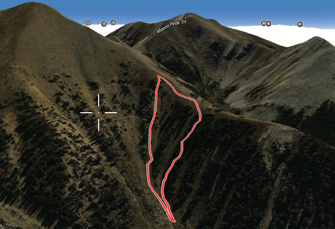
This is the area where the avalanche occurred. We did not see a crown, and we do not know how high on the slope the slide initiated.
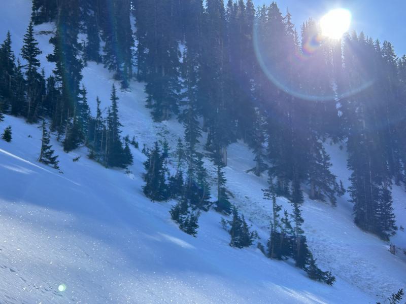
Here you can see where the avalanche gouged down to the dirt in the track.
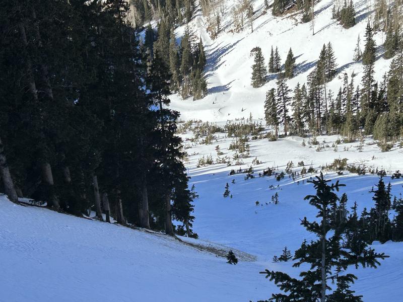
Looking down the track
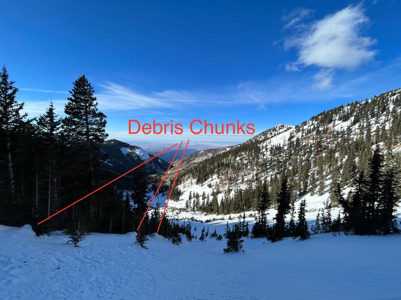
Chunks of old debris piled up on the vegetation
Coordinates


