
Observer Name
Pagnucco
Observation Date
Sunday, April 16, 2023
Avalanche Date
Tuesday, April 11, 2023
Region
Logan » High Creek
Location Name or Route
High Creek Drainage
Elevation
9,500'
Aspect
North
Slope Angle
40°
Trigger
Natural
Avalanche Type
Wet Slab
Avalanche Problem
Wet Snow
Weak Layer
Wet grains
Depth
Unknown
Width
500'
Vertical
2,000'
Comments
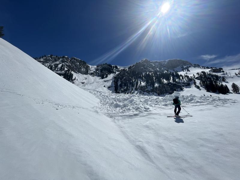
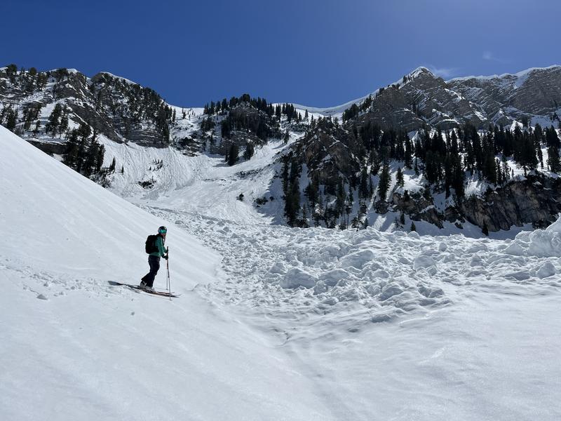
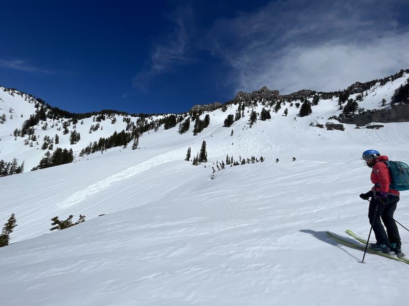
Toured out the S Fork of High Creek and saw multiple large wet avalanches that likely occurred during last week's rapid warm up. The most notable was a very large, full-path slide in the Z Gully on the N side of Cherry Peak.
The debris pile was massive ( the pictures don't do it justice).
We observed numerous wet loose avalanches on all aspects in the drainage as well as evidence of larger slides from earlier in the season. Deposition fields were very widespread with broken trees and debris scattered over the
entire basin.
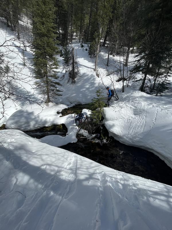
Note: The ski out took work. The high snow levels made it impossible to find the summer trail and the warm snow was extra sticky, Navigation was unfun. We were lucky that the creek wasn't running higher because we had to cross (skis off) multiple times over sketchy snow bridges. All of the side creeks are running as well. We basically walked out about 7-8 miles. If you are thinking about heading out this way, I'd say don't. The water levels are only going to rise and make the creek crossings VERY dangerous if not impossible. Hiking back up to Naomi/TG is the safest option.

Coordinates


