Observer Name
UAC Staff
Observation Date
Thursday, April 6, 2023
Avalanche Date
Thursday, April 6, 2023
Region
Salt Lake » Little Cottonwood Canyon » Grizzly Gulch
Location Name or Route
Grizzly Cup
Elevation
10,000'
Aspect
South
Slope Angle
Unknown
Trigger
Explosive
Trigger: additional info
Remotely Triggered
Avalanche Type
Hard Slab
Avalanche Problem
New Snow
Weak Layer
New Snow/Old Snow Interface
Depth
7'
Width
1,500'
Vertical
1,250'
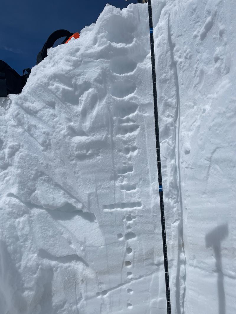
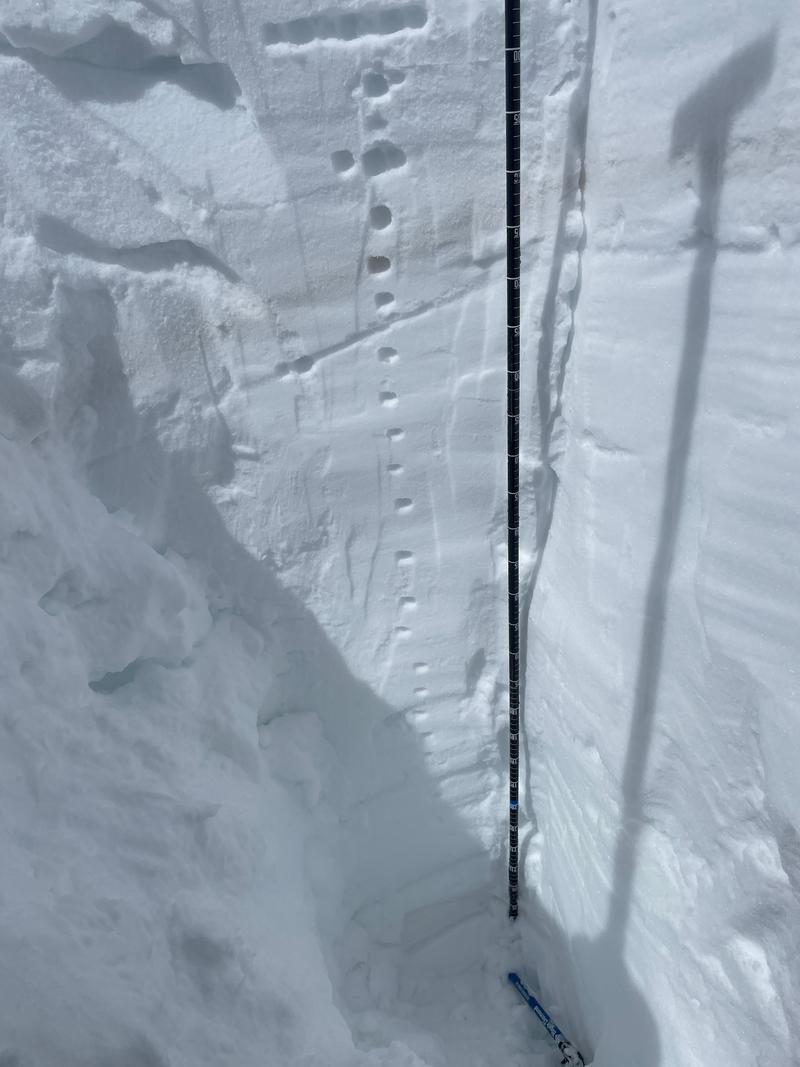
Snow Profile Comments
Snowpit on a south-southeast facing aspect (174 degrees) in an attempt to mimic the crown profile of the avalanche. Height of snow was 540cm (17.7'). 2 distinctive dirt layers (one at 120 and one at 225cm from the surface). The layer of greatest concern is the decomposing stellars because that is the next most likely layer that a human could trigger an avalanche on (coupled with warm temperatures). Best guess is that the failure layer was one of the melt freeze crusts 190-225cm from the surface. I lean towards the one at 225cm down based on the below crown photo from the Alta Snow Safety team that shows another dirt layer.

Comments
Aspect of the avalanche was south-southeast. Triggered remotely to UDOT avalanche control work in Emma 4 Wyssen air blast. The Wyssen tower was measured out at 2000' from where the slide was.
Slide started on the ridge and then broke out to the gunners right hand side about 9600'. This avalanche flowed down over the summer road and through the gulch. The toe of the debris was approximately 500' linear feet from the UAC "Are you beeping" sign. This was a spectacular avalanche. There were trees that were 12-16" in diamater in the debris field. This avalanche would have been unsurvivable.
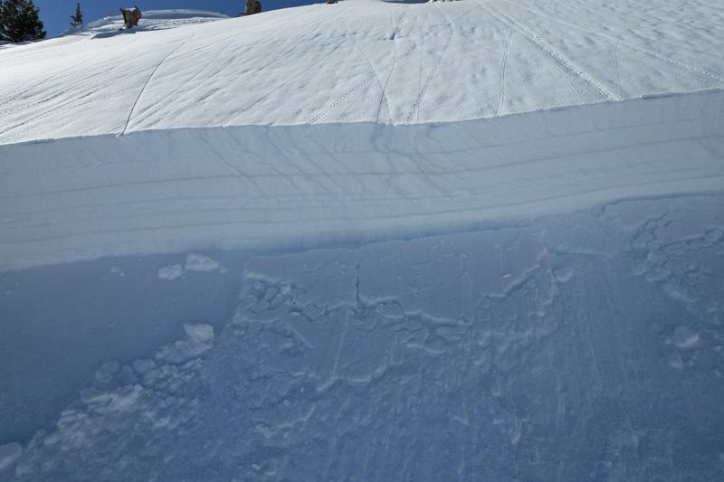
Photo 4-5 (Alta Cat Crew )
Photo 6-8(Alta Avalanche Office)


Video
Coordinates


