Observer Name
Bill Nalli
Observation Date
Monday, November 9, 2020
Avalanche Date
Monday, November 9, 2020
Region
Salt Lake » Big Cottonwood Canyon » Twin Lakes area
Location Name or Route
Twin Lakes-Fantasy Ridge
Elevation
10,400'
Aspect
North
Slope Angle
45°
Trigger
Natural
Avalanche Type
Soft Slab
Avalanche Problem
New Snow
Weak Layer
New Snow
Depth
6"
Width
10'
Vertical
400'
Comments
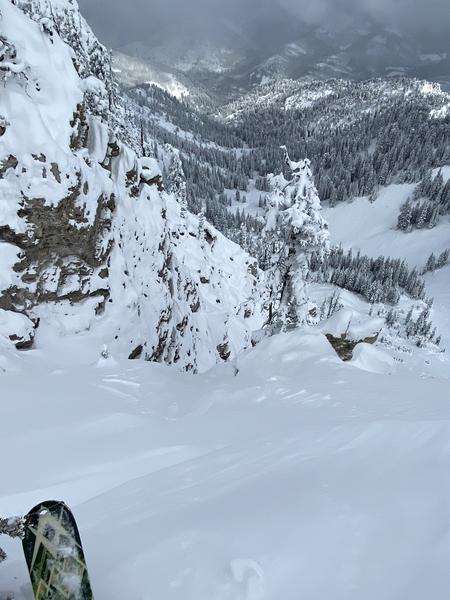
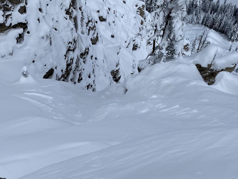
Snow depths in the Grizzly Gulch / Twin Lakes Pass area ranged from 50cm to 75cm. The right-side up new snow was mostly stable consisting of 4F+ DF near the ground, lightening up to F hard new snow near the surface. A slight density change about 15cm down from the surface was the weak layer in a small SS-N-R1-D1-S that likely occurred overnight Sunday 11/8 on a very steep north facing chute along Fantasy ridge.
Comments
North facing Fantasy Ridge SS-N-R1-D1-S. 10,400', 10' wide, 15cm deep.
Comments
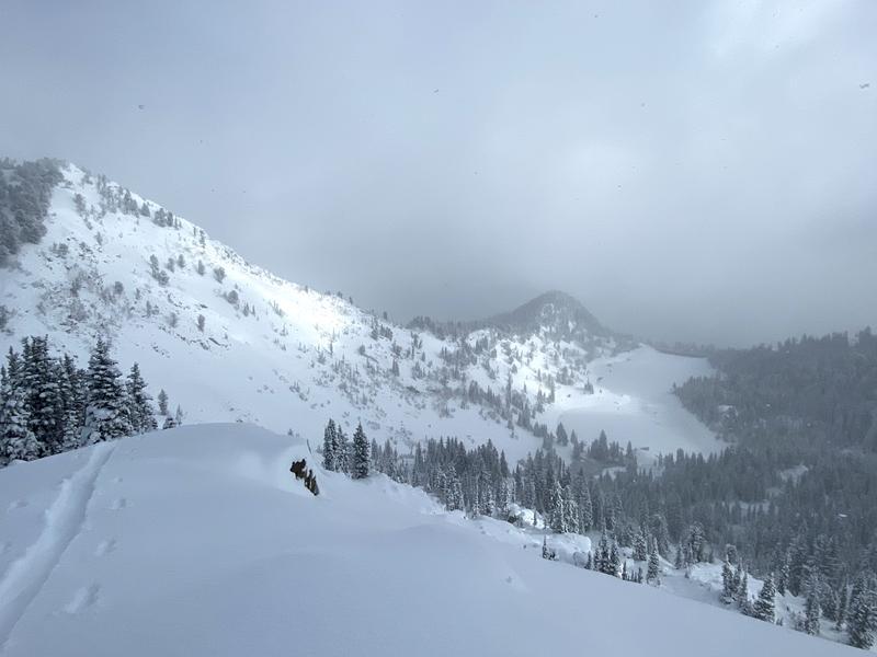
Coverage is still very thin but what a difference one storm can make.
Comments
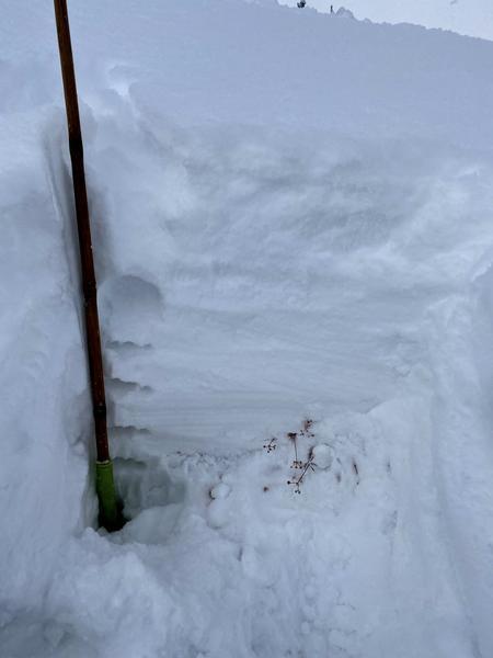
Very little wind effect up high in this good base building storm. Overall LOW hazard. This pit location was at 10,200', East-facing, along the Twin Lakes ridge. 77cm total depth. 40cm 4F+ closer to the ground with 37cm F near the surface.
Coordinates


