
Observer Name
Trenbeath
Observation Date
Sunday, December 18, 2016
Avalanche Date
Friday, December 16, 2016
Region
Moab » La Sal Mountains
Location Name or Route
Horse Creek Chute
Elevation
11,400'
Aspect
Northeast
Slope Angle
35°
Trigger
Natural
Avalanche Type
Hard Slab
Avalanche Problem
Persistent Weak Layer
Weak Layer
Facets
Depth
3.5'
Width
70'
Vertical
700'
Comments
Natural avalanche released on buried facet layer. 9" of dense snow combined with strong SW winds in excess of 60 mph provided the loading and subsequent stress. The following night, 9" of low density snow filled it back in. 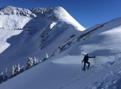
Coordinates


