Observer Name
Weed
Observation Date
Thursday, February 5, 2015
Avalanche Date
Thursday, February 5, 2015
Region
Logan » Logan River » Tony Grove » Mt. Magog, South Ridge
Location Name or Route
Mt. Magog, south ridge
Elevation
9,000'
Aspect
East
Slope Angle
40°
Trigger
Snowmobiler
Trigger: additional info
Unintentionally Triggered
Avalanche Type
Soft Slab
Avalanche Problem
Persistent Weak Layer
Weak Layer
Facets
Depth
2.5'
Width
250'
Vertical
300'
Caught
1
Carried
1
Accident and Rescue Summary
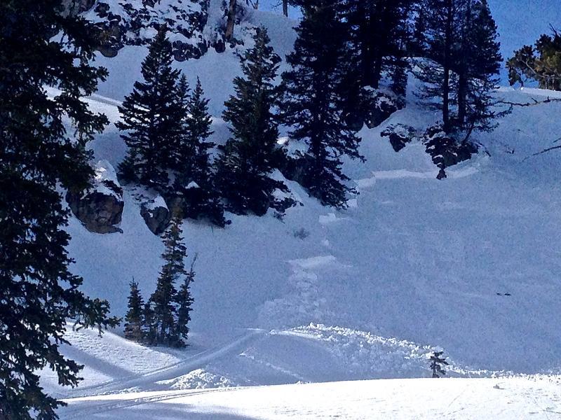
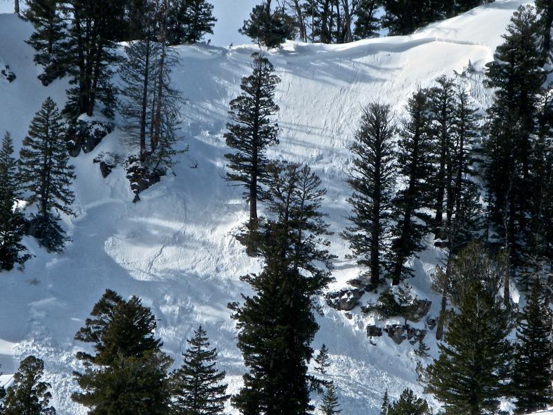
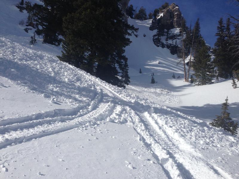
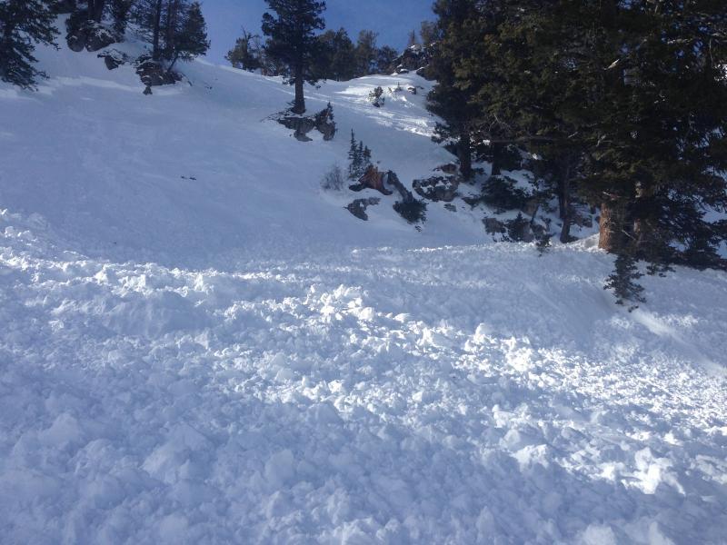
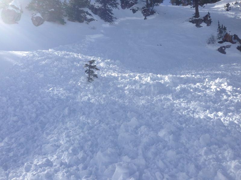
Details unclear and incident unreported. At least two sets of tracks entering avalanche, both entering from the top and the lower right flank... Many fresh tracks noted on the debris as well.
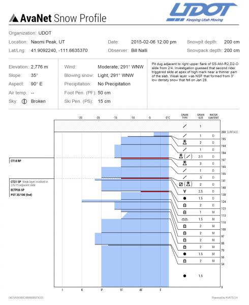
Snow Profile Comments
Comments
Fresh sled tracks entering this slide from below and above.
Video
Coordinates


