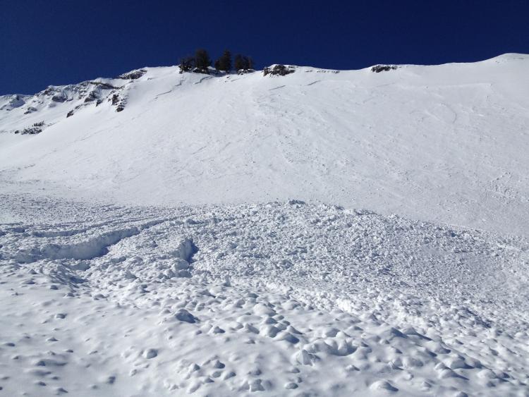
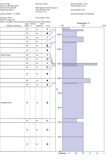
Numerous naturals occurred Friday night into Saturday due to the strong winds and significant wind loading. We found much of the layering to be the weaknesses - facets - buried (in Provo) February 11. Looked for surface hoar but found none.
Aspects ranged from north to southeast, from the ridgeline down to 9000'. Most 1-2' deep with one at 9800' northeast facing that pulled into depth hoar. Variability of new snow from yesterday on the debris piles led us to believe that they naturalled at different times during the storm. One in particular, - 2nd photo - 9800' southeast facing there in Big Springs - had upwards of 10-15' of debris - so much from a 1' deep crown (400' wide). No stauchwall noted - we believed that the whole slope released.
Multiple collapses noted on uptrack - on a southeast facing sub-ridge at 9000'. Cracks would propagate 40' above us and 60' across. Weakness was radiation facets above a stout melt freeze crust. Pays to be on lower angle slopes.

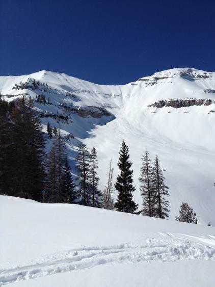
Two slides noted here. One at 10800' north facing, the other 9800' northeast facing (which looked as if it pulled into depth hoar.) -

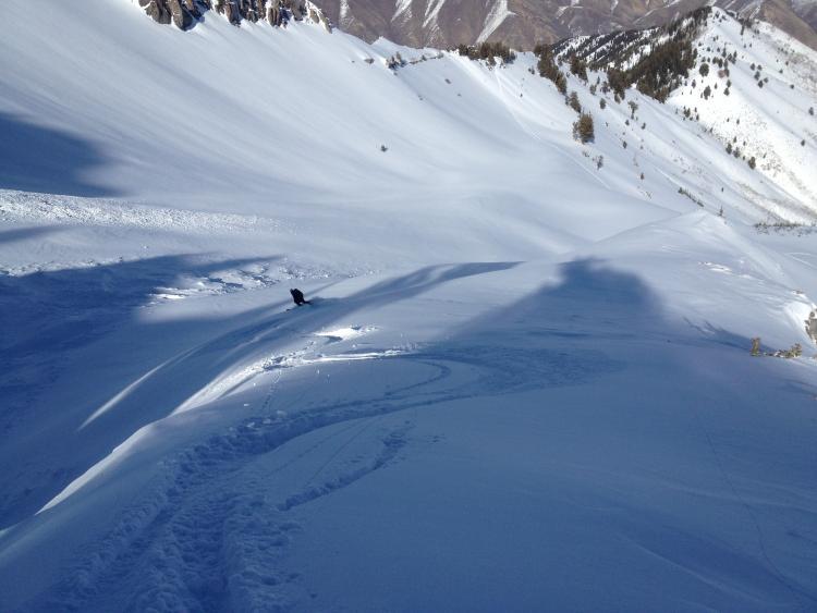
4th photo looked as if it ran early in the 'wind storm'. Up to 2' deep. Bunnels headwall. North facing 10900'

Last pic - Nalli skiing down adjacent to the old flank.


