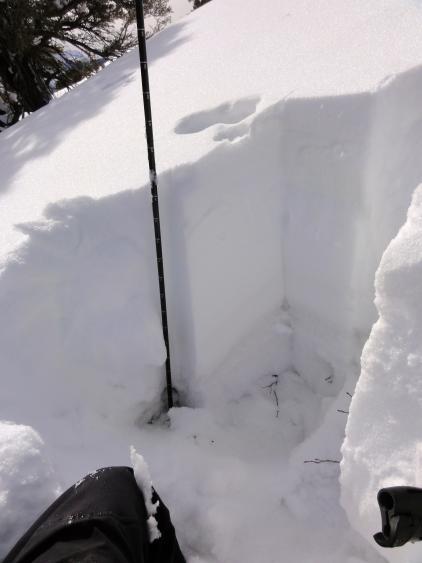
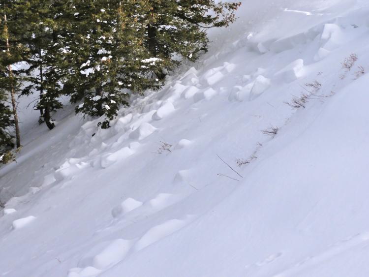
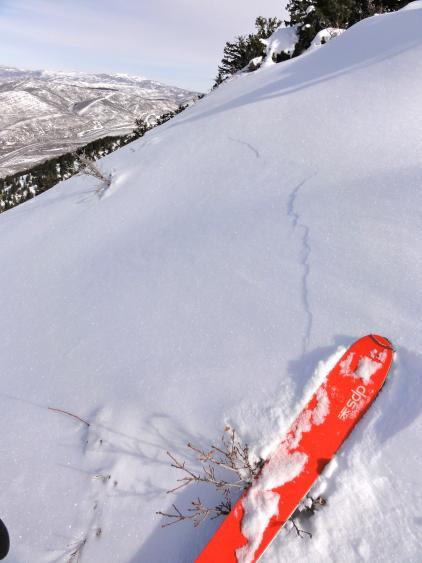
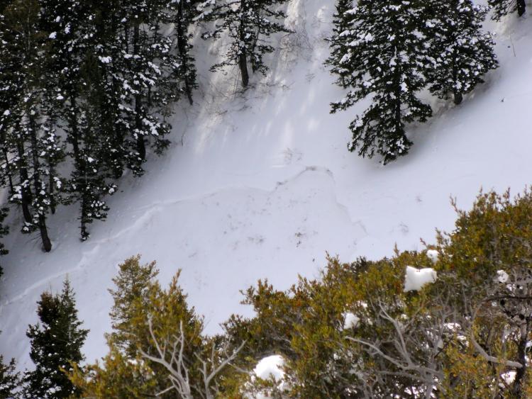
We toured up the normal route to the summit of Mt Aire then around the ridge to the east and descended the WNW facing trees. It appears no one has been to the summit since the last storm cycle and we triggered multiple collapses on the untraveled slopes, some of which went into the scary/terrifying category. A quick pit just below the summit showed 100 cm snow depth comprised of a 60 cm hard slab sitting on facets on the rain crust (more pronounced here than in LCC/BCC) with the remaining lower pack being the most developed chained depth hoar I've seen this year. It appears most of the primary paths on Mt Aire ran in the cycle with an average depth of 2-3' deep, but many obscure terrain traps have run with more waiting for the appropriate trigger. Our main pit result was a CT-22 Q1 failing on the facets below the rain crust. the snow here is significantly weaker/shallower than the cottonwoods, expert terrain skills are mandatory here, it's been awhile that i've been so spooked by these collapses.