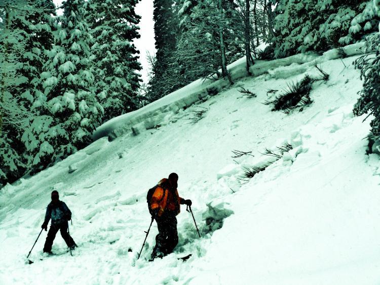
I was hiking up Mill D north today and found a 35 degree convex rollover on the side of the trail. I walked towards the flank of the runout zone just off the main hiking trail. Within a few steps off the well traveled summer trail, I triggered a slide that almost crossed the main hiking trail. With a bit more snow I would imagaine it would have naturally slid and covered the path most people use to access terrain in that location. I found the crown to be upwards of 2 feet in some locations. With more snow it could have crossed the trail and filled the terrain trap with snow and an unlucky person or party if they were in the runout zone. I would guess that people will have the possibility of triggering a slide like this in many locations tomorrow as well as in unexpected areas tomorrow. This avalanche occured in an area that most people deem as a safe area to travel during High or Extreme avlanche danger days. I wouldn't recommend traveling in the back country tomorrow.