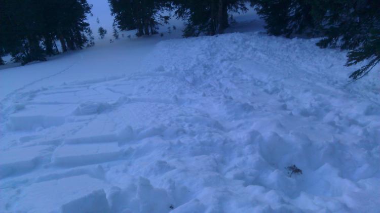
20cm loose sugar on top of facets and a 3cm crust, then another 35cm to the ground. Starting zone was more than 40 degrees and a little wind loaded but not much. Was skiing, noticed some small wind loading, at that moment I fell (due to poor skiing). After I fell a moment or two passed and before I could get up I saw a small to medium sized sluff coming right at me. It gained speed and mass fast. It carried me, I swam as it tried to pull me down. After about 125 feet it stopped, I was uninjured and was able to dig my self out with ease. If I didn't fall I would have been able to ski it out with ease. It was our second lap. Our first was on an aspect just east of us that seemed "bomber." The sluff pulled out a slab on a 40 degree slope halfway down that collected in the termination zone. The starting zone was a small pocket but was very different from the surrounding terrain--slightly steeper, slightly wind loaded (was quite sheltered--I thought), and concave. I should have stopped...but I fell anyways. Afterward we investigated the crown from the slab. It was 20cm deep on a Q1 surface. Out of curiosity we performed a variety of CT tests, Extended column, and shear tests. All of them showed no weakness. However, the slab obviously ripped with the adjacent large sluff. The total snow pack depth was 55cm. 40 degrees, North facing, 9400 feet elevation, 1 caught and carried 175 feet, about 100 feet wide(?). This photo shows most of the avy zone from the end of bottom. It started way up at the top where you may be able to see a slight concave slope about 3m tall.
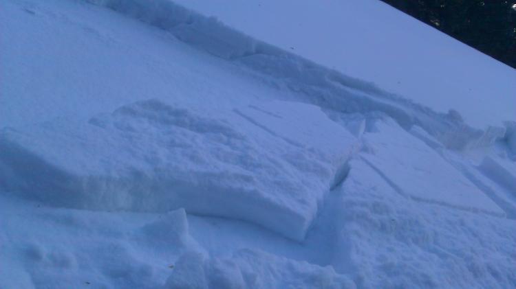
This photo shows part of the slab that was released as the very large soft slab moved past.
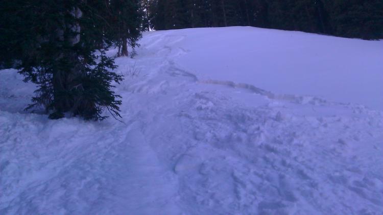
looking at the run out and on the left the remains of the slab. Most of the path is in the open trees to the east/right of photo.
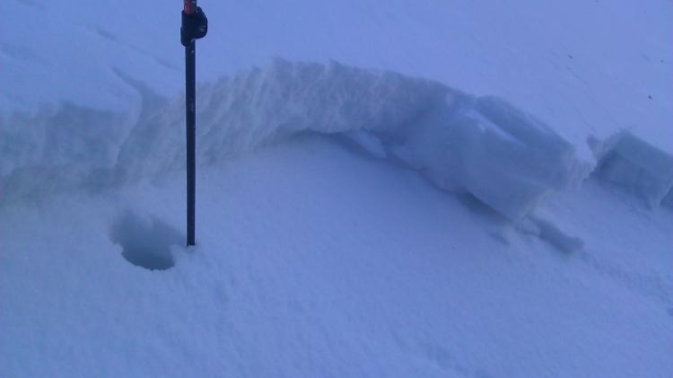
20cm crown of the slab, mid slope. This is where we did out post-avy tests, just to learn more about what was going on. This is no the starting zone.