
Observer Name
Glew
Observation Date
Sunday, April 10, 2011
Avalanche Date
Sunday, April 10, 2011
Region
Salt Lake » Big Cottonwood Canyon » Broads Fork
Location Name or Route
Broads
Elevation
Unknown
Aspect
Northeast
Slope Angle
Unknown
Trigger
Natural
Avalanche Type
Glide
Weak Layer
Ground Interface
Depth
Unknown
Width
Unknown
Vertical
Unknown
Comments
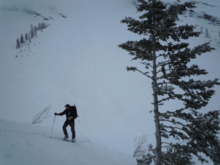
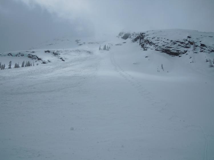
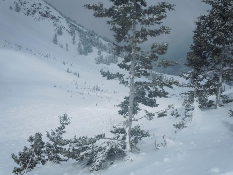
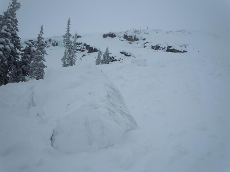
Was up in Broads today and came across a large natural avalanche. The slide was between the diving board and the blue ice cliffs, but started about 500 vert ft above the blue ice cliffs on the thermal rock slabs. It also popped out some other slabs in its travels. It ran all the way down and back uphill about 100 vert feet, taking out some trees on the west face. It continued back downhill almost to Beavor Pond. Looks like it happened during the later part of the storm last night or the wind event in the early morning.
Coordinates


