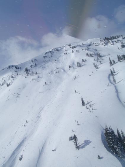
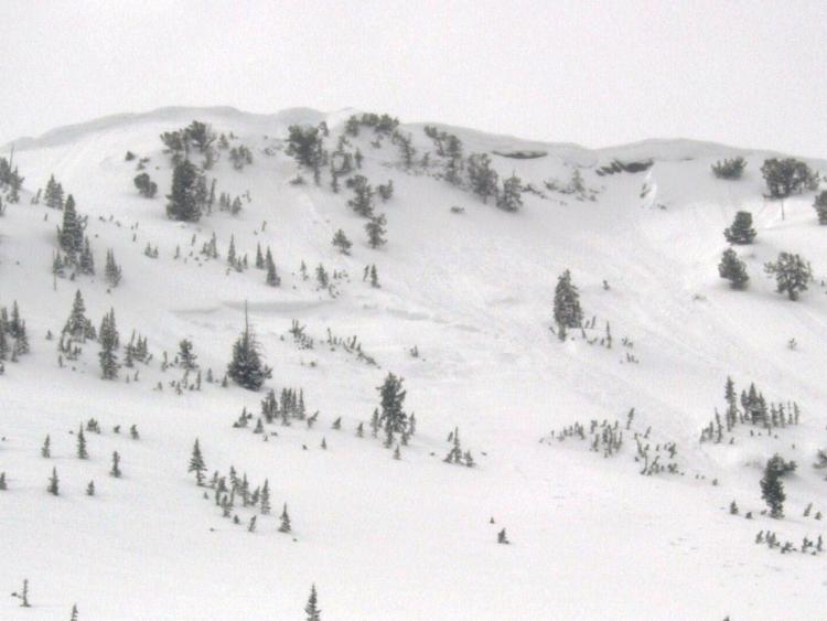
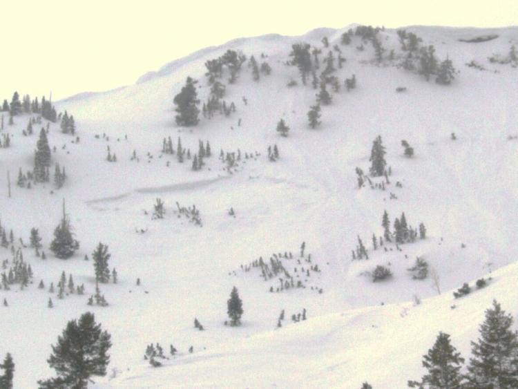
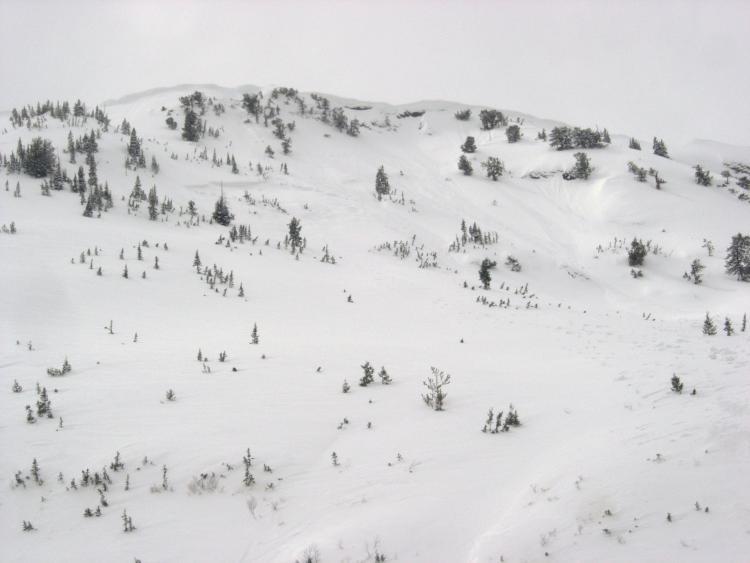
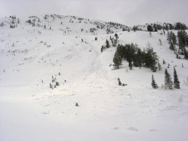
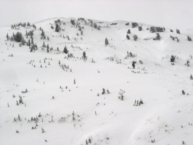
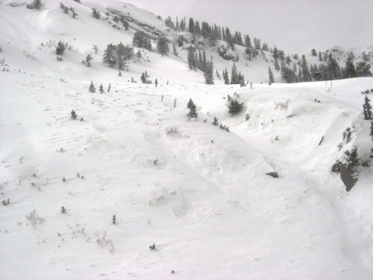
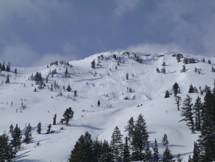
Saw what I believe to be a new deep slab avalanche in east facing Mineral Fork, located between Marrietto and Santiogo, directly across canyon from East Mineral. Crown was about a hundred feet off the ridge line. By the looks of it a cornice dropped off the ridge and hit a wind loaded depression on the slope. Crown was between 50 and 75ft wide, probably 6 to 7 feet deep at its deepest point, ran full track to the valley floor about 1200 vertical FT, did not get close enough for exact diameters, quite a bit of hang fire above. From the looks of it probably ran either the morning of the 25th or the night of the 24th. Suspected the weak layer to be somewhere around the MLK rain crust, quite a large debris pile at the bottom. Sorry for the dark pics it was starting to cloud up.
Spencer Wheatley photo
Spencer Wheatley photo