
Observer Name
Ty Falk/Spencer Wheatley - video and snow profile a day later by Bruce Tremper
Observation Date
Wednesday, March 23, 2011
Avalanche Date
Monday, March 21, 2011
Region
Salt Lake » Mineral Fork
Location Name or Route
Mineral Fork
Elevation
9,700'
Aspect
North
Slope Angle
40°
Trigger
Natural
Avalanche Type
Hard Slab
Weak Layer
Facets
Depth
4'
Width
500'
Vertical
1,250'
Comments
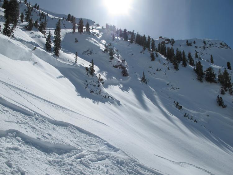
Fairly sizable hard slab in Mineral Fork. Appeared to have slid a few days ago. Crown ranged from 3'-10'+ From a quick look it seamed to go just above the MLK (Jan 16th) crust. Ran down into the basin. Photo by Ty Falk.
Bruce Tremper comments: I investigated it the day after these photos were taken and my snow profile suggests that it broke beneath the MLK crust on facted snow. I did not investigate the entire fracture line but I dug on the looker's right flank. (see video).
Comments
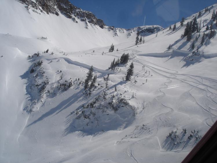
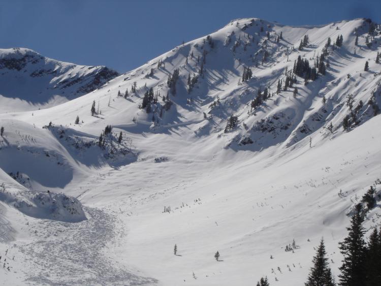
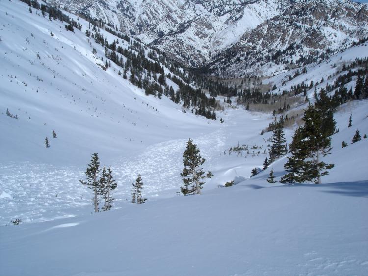
Next three photos by Spencer Wheatley. Note total width and long runout.
Comments
I took the embedded video a day after these photos were taken - Bruce Tremper
Video
Coordinates


