
Observer Name
Kobernik
Observation Date
Sunday, March 20, 2011
Avalanche Date
Sunday, March 20, 2011
Region
Salt Lake » Big Cottonwood Canyon » Days Fork » Hide A Way Park
Location Name or Route
Upper starting zones in Hide A Way Park
Elevation
10,000'
Aspect
North
Slope Angle
36°
Trigger
Skier
Avalanche Type
Soft Slab
Weak Layer
Density Change
Depth
12"
Width
50'
Vertical
200'
Comments
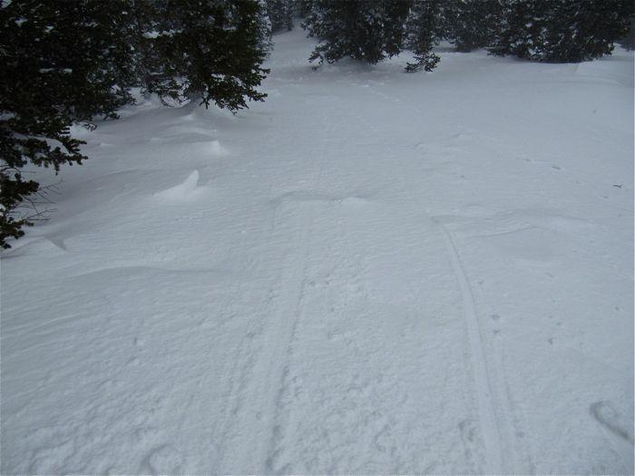
Couple of slides in the upper portion of Hide A Way in the usual places. No mystery here. Fresh wind drifted snow landing on low density new snow as the weak layer. Looked like ski tracks poking around the starting zones so assuming that these were human triggered. Slopes were already being re-loaded.
Coordinates


