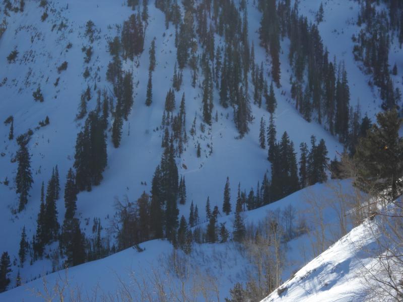
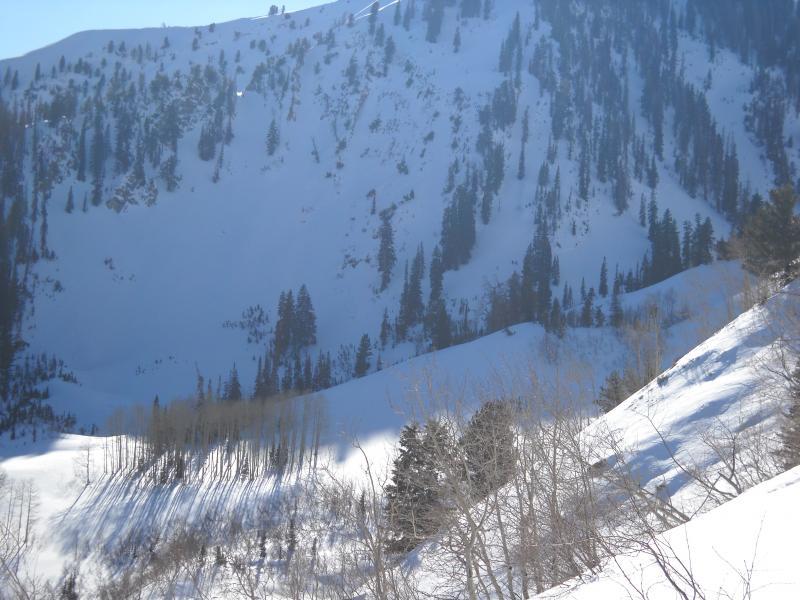
I noticed this slide from an opposing ridge line. All the above observations were guesses, we did not investigate further as there were no tracks going into the path.
What initially caught my eye was the solo track to lookers left of the slide along the tree line in the second photo. The track did not really show in the photo, but was same aspect and elevation and maybe 100 yards from the slide. Solo traveler in what is now prime terrain for a slide, in a fairly remote area.
Yipes.
In addition we also noticed a wet natural from a point release that entrained a pretty large amount of snow in the same drainage, same elevation, opposing aspect. We also noted a crazy variety of conditions on the east/west running ridge line we traveled on. Everything from localized whomphing, to fully supportable sun crusts that were still dry underneath, to unsupportable facet pits, changing with each step. Hand pits showed the same tremendous amount of variety in small areas on similar aspects all of which made us pretty uncomfortable with the idea of skiing pretty much anything even a little steep.
Low angle, north facing trees were nice skiing, though.


