Observer Name
Ted Scroggin
Observation Date
Tuesday, February 5, 2013
Avalanche Date
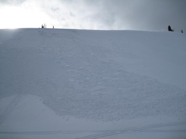
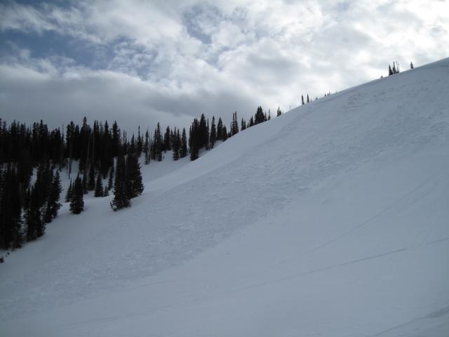
Sunday, February 3, 2013
Region
Uintas » Bear River Ranger District » Bear River West Fork » Moffit Basin » Yamaha Hill
Location Name or Route
Whitney Basin-Yamaha Hill
Elevation
10,000'
Aspect
Northeast
Slope Angle
37°
Trigger
Snowmobiler
Trigger: additional info
Unintentionally Triggered
Avalanche Type
Hard Slab
Avalanche Problem
Wind Drifted Snow
Weak Layer
Facets
Depth
3'
Width
100'
Vertical
250'
Comments
This is a repeater slide for this slope. A large fetch on the windward side catches south and southwest winds. A hard wind slab with weak shallow snow underneath is the likely set-up here and the added weight of a rider who finds a thin shallow spot to collapse the slope and trigger the slide.
Coordinates


