Observer Name
Anonymous
Observation Date
Friday, December 28, 2012
Avalanche Date
Friday, December 28, 2012
Region
Salt Lake » Mill Creek Canyon » Porter Fork » Gobblers Knob
Location Name or Route
Gobblers Knob
Elevation
9,000'
Aspect
Northwest
Slope Angle
40°
Trigger
Skier
Avalanche Type
Soft Slab
Avalanche Problem
Persistent Weak Layer
Weak Layer
Facets
Depth
2'
Width
100'
Vertical
200'
Comments
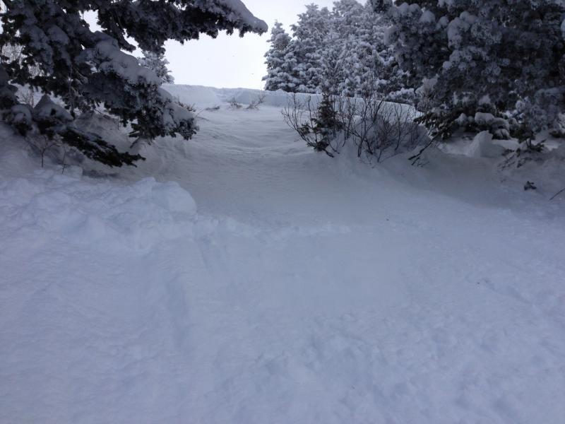
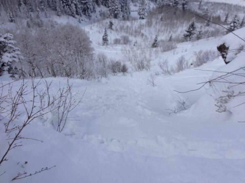
This broke out on a 40 degree NW-facing slope at about 9,000 ft. Fracture face was about 24 to 30" and pulled out on a roll over. May have been a little wind loaded. It was about 100 ft wide and ran about 200 ft vertical. Ran on the old rain/melt crust.The slide we triggered was lower down on Gobblers and smaller than the one reported on yesterday’s Avie Report. Seems like similar aspect, with a fracture face that was about the same depth (2+ ft), so perhaps it ran on the same wind crust (rather than on a rain crust).
I also got a big settling “whoomph” on a low-angle meadow on our way out of Alexanders Basin yesterday. It does appear that the higher elevation deeper snowpack areas are safer right now.