Forecast for the Skyline Area Mountains

Brett Kobernik
Issued by Brett Kobernik on
Saturday morning, January 3, 2026

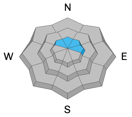
Overall, the avalanche danger on the Skyline is LOW. There is a spotty MODERATE avalanche danger along the higher ridges where fresh wind drifts and slabs of wind drifted snow have formed on steep slopes. These are most pronounced on the east half of the compass. Identify and avoid these drifts today and you'll stay safe.

Low
Moderate
Considerable
High
Extreme
Learn how to read the forecast here
Weather and Snow
General Conditions: Wacky weather. Friday was a complete mess up in the mountains. There was 4 to 6 inches of heavy snow. The snow was a wet mess up to 9500 feet or so. Above that, rime was coating everything with ice. Riding conditions are horrible. The only good thing I can think of is that this will provide a supportable base once everything has frozen up again. Temperatures were in the mid 20s overnight. It's hard to say what the wind was doing because all of the anemometers are rimed up with ice and are not spinning. Model data suggests light to moderate speed wind from the southwest.
Mountain Weather: Today we're going to have cloudy skies, warm temperatures and increasing wind from the southwest. Temperatures will get into the mid to upper 30s. Wind will be light to moderate in speed this morning and increase a bit this afternoon. Another storm is moving in and we should see some precipitation starting late today and lingering into Monday morning. The majority of the precip will happen Sunday into Monday. Unfortunately, weather model trends are becoming dryer with this system. I'm only expecting 3 to 5 inches of snow by Monday. This is going to be another fairly warm event with temperatures in the upper 20s to around freezing. Wind will be from the southwest during this storm. It looks like mostly moderate speeds with a few periods of stronger speeds.
Avalanche Problem #1
Wind Drifted Snow
Type
Location
Likelihood
Size
Description

I really don't have a really good handle on the current snowpack. Travel was almost impossible on Friday. My best guess is that the snowpack is mostly stable. When I head into the field today, I'm going to be looking for fresh drifts along the high ridgelines and I'm going to try to determine if the drifts are stable or unstable. Some of these drifts may be sitting on old loose weak sugary facets. I know there is weak snow lingering around near the ground in some high elevation locations. I just don't know the extent of it.

My advice for today is to avoid recently formed drifts of snow on steep terrain and you'll stay safe.

General Announcements
This forecast is from the U.S.D.A. Forest Service, which is solely responsible for its content. This forecast describes general avalanche conditions and local variations always occur.