The Grinch - 1
The Wasatch - 0
Mark White and Greg Gagne, with more than 70 years combined of backcountry skiing in the Wasatch, agreed it was the worst skiing of their lives yesterday. There is now a connoisseur's buffet of supportable, breakable, and trapdoor crusts (Mark White photo below) on every aspect and at every elevation. The good news? Just wait a day or two - Santa's mounting a comeback (he's been here for years) and we'll see a return to winter and a return to the Greatest Snow on Earth.

Christmas Eve into Christmas day brought heavy rain to near 10,000' with some liquid water touching the highest peaks. The upper Cottonwoods picked up just over an inch of water, but only a measly inch of new snow for all the trouble. The Park City ridgeline picked up about 0.60" of precipitation. And - adding insult to injury - total depth snow stakes lost a couple inches of snow: there's now only 15-30" on the ground.
But today's a new day. Currently, It's lightly snowing with temps in the low 20s up high, the low 30s down low. Winds are from the southwest, blowing 20-30mph with gusts to 55.
Look for overcast skies with light snow accumulations in the afternoon. Perhaps 1-4" by supper. Temps will be in the mid-20s up high, the mid-30s down low. Winds will remain out of the southwest, blowing 25-35mph along the high peaks. A COLD FRONT - two of them, actually - will barrel through the Wasatch tonight and again Saturday night and I expect we'll see storm totals of up to 12-18" (perhaps an inch of water). Mountain temps plummet to the low single digits Saturday night; so Yes, Virginia, there really is a Santa Claus. He was just running a touch late.
The Week in Review is hot off the press. You can find it HERE.

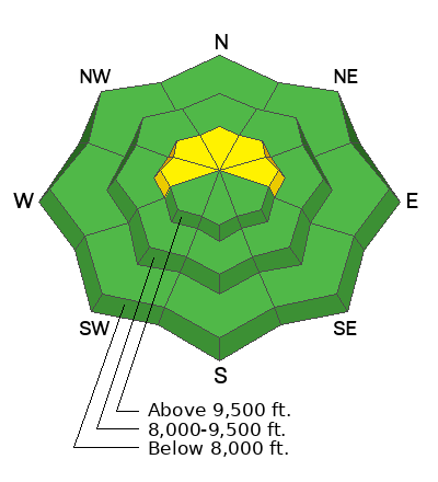
The only avalanches we heard about yesterday were some wet loose sluffs cascading out of the highest, northerly terrain when rain fell on the cold, dry snow. That's all.
Read all recent observations HERE.


