Forecast for the Ogden Area Mountains

Sunday morning, January 4, 2026
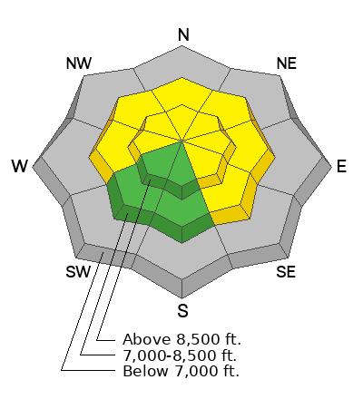
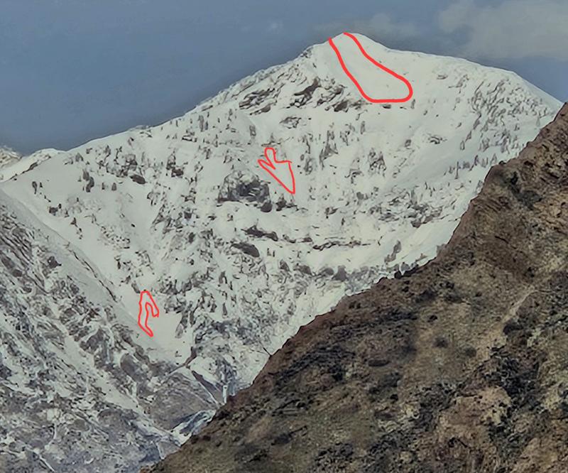
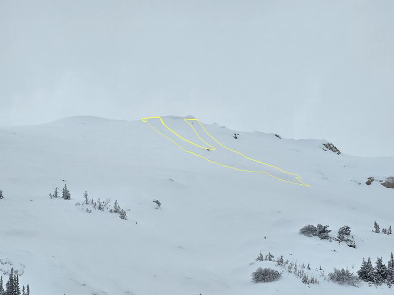
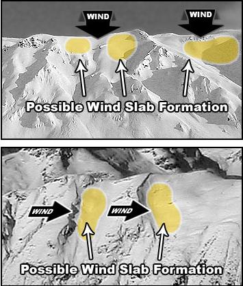
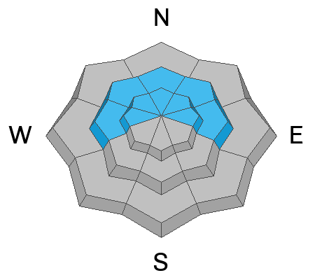
The avalanche danger is MODERATE on W-N-SE facing slopes above 8000' where the wind continues to drift new snow into slabs. These avalanches have the potential to run far and fast on the slick crust below. Smaller wind slabs may prove effective triggers for deeper, destructive slides on a persistent weak layer up to 100 feet wide. Steep, rocky, wind-exposed northerly slopes are most suspect. If the storm comes in earlier than forecast this afternoon, expect danger to rise to CONSIDERABLE by the end of the day.
Remember: If you are ducking ropes or stepping out of bounds at a ski area, you are stepping into potentially dangerous avalanche conditions. It’s worth noting that Utah leads the nation in avalanche fatalities where riders have exited the ski area boundaries and never made it home.