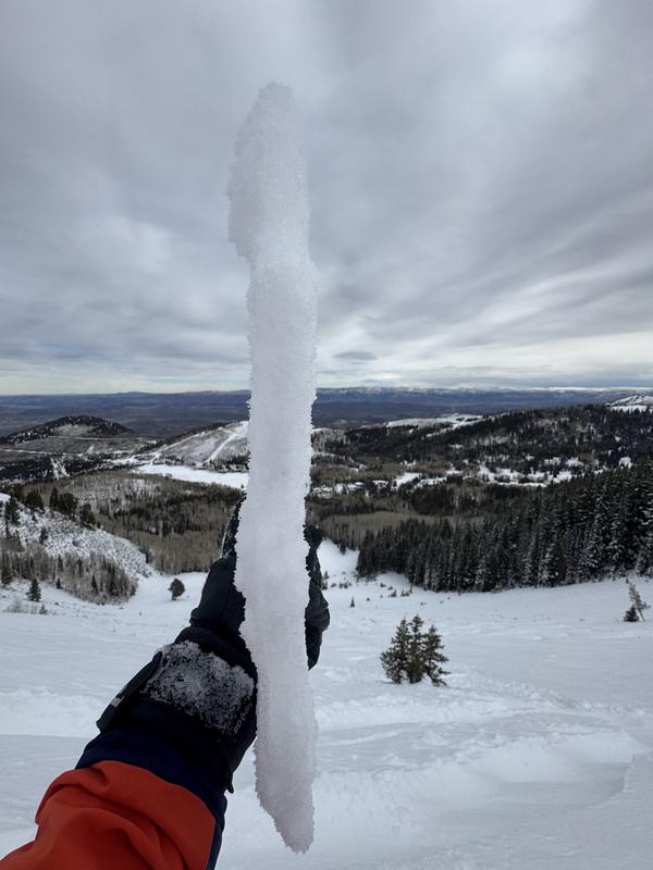
Hadn’t been to No Name Bowl on the PC Ridgeline so it was time to check it out before the next storm. I was assuming it would be similar to what I was finding inNE facing Butler at 9400ft, I was wrong. Dug a hole in the starting zone in the location I usually enter from, NE facing at 9650ft and found a whole different set up. In Butler the base of the snowpack has no weak layers, it’s been saturated and basically the new snow is sitting on a frozen brick for a base. NN Bowl has 2 distinct weak layers, the one at the bottom is under a deteriorating heat crust from earlier in the season and has large grain facets underlying it. The one that got my attention is the thin, fragile rain crust, the CERC from last week. Unlike many places i’ve been to at this elevations The CERC is very thin and fragile in the starting zone and has well developed facets underlying it as well as facets forming on top of it. This is not the snowpack or season to assume anything, the spacial variation is extensive and i’ve seen a lot of pit profiles on so called representative slopes. I’ve been sticking to digging in the starting zones of the slopes i wanna ride, not ones at the same elevation or aspect that I assume are similar. My thoughts on why the rain crust is so much thinner in this location are 2 fold, the first is that this slope is on the backside of the range and somewhat in the rain shadow and it sees sun but remains on the polar end of the compass, thus the temperature gradient is higher leading to faceting and quicker breakdown of the CERC. Type of terrain and snow conditions in the starting zone are key components to evaluating stability. What i’m trying to say is don’t assume because it’s a mid elevation slope it doesn’t have weak snow under the rain crust, and also don’t assume that if it’s at 9600ft the crust is stout and probably good to go. The deteriorating CERC in NN bowl will most likely connect the entire slope, if we get a large load and collapsing the rain crust which is highly likely and will cause a large and connected avalanche. The video shows the snow pit, and the fragility of the CERC. FYI i’m not suggesting digging a pit in the starting zones after their loaded up, that’s why I do it when things are mostly stable and before a predicted load is added.