25th Annual Black Diamond Fall Fundraising Party
Thursday, September 13; 6:00-10:00 PM; Black Diamond Parking Lot
25th Annual Black Diamond Fall Fundraising Party
Thursday, September 13; 6:00-10:00 PM; Black Diamond Parking Lot
| Advisory: Skyline Area Mountains | Issued by Brett Kobernik for Monday - December 12, 2016 - 7:04am |
|---|

|
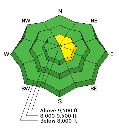
bottom line There remains a MODERATE avalanche danger along the highest ridges and peaks where a snow drift formed by the recent winds may still release with the weight of a person. Avoid steep slopes in the high terrain facing north through southeast that have a rippled, "pillowy", or textured look to them. Out of the wind affected snow, the danger is generally LOW.
|
 |
special announcement Please join us at Big Pine Sports for an avalanche presentation on Thursday, Dec 15th at 6:30pm. I will be talking about the current conditions and sharing tips on how to stay out of avalanches. I'll cover anything else avalanche related the audience is interested in.
|
 |
weather STATE WEATHER SYNOPSIS...Westerly flow will remain over the area through mid week. A weak disturbance will clip northern Utah today. A warm front will lift north through the area late Tuesday through late Wednesday. A strong cold trough will move into the region Friday through Saturday. |
| general announcements We will publish full detailed advisories Saturday and Sunday mornings by 7am. We will also be publishing basic avalanche danger ratings & info during the week. If you are getting out into the mountains, we love to hear from you! You can SUBMIT OBSERVATIONS ONLINE or EMAIL US If you would like to have avalanche advisories emailed to you, SIGN UP HERE We can provide basic avalanche awareness presentations for your school, group or club. To enquire, CLICK HERE |


