25th Annual Black Diamond Fall Fundraising Party
Thursday, September 13; 6:00-10:00 PM; Black Diamond Parking Lot
25th Annual Black Diamond Fall Fundraising Party
Thursday, September 13; 6:00-10:00 PM; Black Diamond Parking Lot
| Advisory: Salt Lake Area Mountains | Issued by Drew Hardesty for Tuesday - December 5, 2017 - 5:40am |
|---|

|
bottom line Areas of MODERATE danger exist in steep, mid to upper elevation terrain. The danger is most pronounced on wind drifted slopes facing north to east, generally above 9000'. Expect to note or initiate some point-release sluffs in the recent low density snow on slopes approaching 40° and steeper. As always, make a plan, go one at a time, and get out of the way at the bottom. Hot Tip! The best conditions will also be the safest: lower angle non-drifted terrain will be 5 star with the cold smoke on the underlying crusts.
|
 |
special announcement Looking for a great stocking stuffer for Christmas? Discount lift tickets for Alta, Snowbird, Brighton, Solitude, Deer Valley, Snowbasin,and Beaver Mountain are now available, donated by the resorts to benefit the Utah Avalanche Center. Details and order information here. These make a great holiday gift and all proceeds go towards paying for avalanche forecasting and education! Support the UAC when you shop Whole Foods Market at Trolley Square, Sugarhouse, and Cottonwood Heights. Between now and Jan 11th, Whole Foods will donate a dime per bag to Utah Avalanche Center when you shop there and donate your bag credit during check out. There are still spots left for the FREE Avalanche Awareness for Women evening talk TONIGHT, December 5th, presented by the SLC REI, SheJumps and the Utah Avalanche Center. Sign up for free with REI HERE. Please abide by the uphill travel policies of the ski resorts. Info here. |
 |
current conditions Skies are clear under a waning super moon. Winds are northerly, blowing 5-10mph, gusting to 15. Temps are in the single digits. It was as if - knowing what lies ahead - the mountains were able to squeeze every last snowflake out of the storm. Storm totals are 18.5"/1.38" in LCC, 14"/0.86" in BCC, and 6"/0.5"-10"/1.05" along the PC ridgeline. Snow depths are now 20-30" on the cold side of the compass, and about a third of that on the sunny aspects. Skiing and riding conditions - anywhere that has a previous base of snow - are easily the best of the year. The storm came in right-side-up (trending high to low density) with the last few inches measuring roughly 5%. And keep an eye out for feathers of hoar frost that likely developed overnight. Get it while you can. A developing ridge amplifying north even into the Yukon territories will engulf the western US for the foreseeable future. |
 |
recent activity From one of the snow safety teams yesterday, "Surprisingly, no significant results noted with artillery, hand charges, or ski cuts." Agreed. All in all, activity measured up to be generally minor in scope, to include loose snow sluffing and a few natural and intentionally triggered shallow soft slab avalanches 6-12" deep. |
| type | aspect/elevation | characteristics |
|---|

|
|
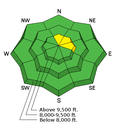
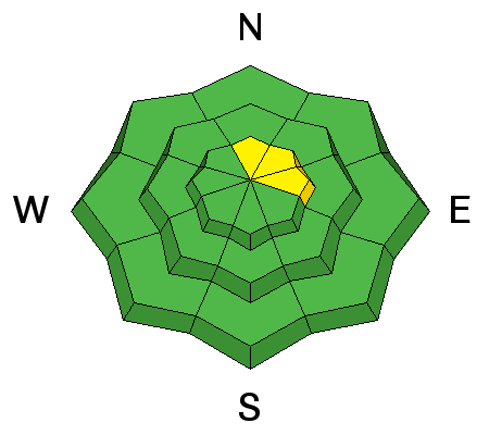
LIKELIHOOD
 LIKELY
UNLIKELY
SIZE
 LARGE
SMALL
TREND
 INCREASING DANGER
SAME
DECREASING DANGER
|
|
description
We've just added a foot to a foot and a half of snow (and 1-1.4" of snow-water equivalent) along with moderate to strong winds over a highly suspect and complicated mess of facets and crusts. Despite the lack of reported activity in this layering yesterday, it's difficult to immediately label this overall structure stable and hoist the green flag. Despite Sunday's strong, eroding pre-frontal southerly winds, some areas may still harbor the worst case totality of facets above and below the "Thanksgiving crusts', which in turn sit above a veritable house of cards complement of other facets and depth hoar. Most of us in the avalanche world are prematurely grey from years gauging when and where to trust facets and depth hoar. It's a dangerous game and the stakes are real. What to do?
For now, there's uncertainty. But in the coming days, we'll have more data points and the structure will have had time to adjust. Until then, you can roll the dice...or follow the three easy steps above. |
 |
weather Be grateful for this last storm, but we knew this was coming. A developing ridge of high pressure will begin to strangle the west coast and much of the intermountain west. We may not see a storm between now and Christmas. I hope I'm wrong. For now, we'll have mostly sunny skies, light northerly winds, and temperatures in the mountains rising toward freezing by the end of the week. The northerly winds may bump into the 20-25mph range Wednesday night with a storm passing to the northeast, but that's the handwriting on the wall. The bad news is that snow in the valley will only worsen the approaching inversion. |
general announcements
|


