25th Annual Black Diamond Fall Fundraising Party
Thursday, September 13; 6:00-10:00 PM; Black Diamond Parking Lot
25th Annual Black Diamond Fall Fundraising Party
Thursday, September 13; 6:00-10:00 PM; Black Diamond Parking Lot
| Advisory: Salt Lake Area Mountains | Issued by Trent Meisenheimer for Tuesday - February 7, 2017 - 4:46am |
|---|

|
bottom line The avalanche danger today is HIGH at upper elevations where fresh wind slabs can be easily triggered. The danger is CONSIDERABLE at mid to lower elevations. Travel in avalanche terrain is NOT recommended. If you step out of bounds at a ski resort you're stepping into HIGH danger. Many ice climbs in Little Cottonwood Canyon and Provo Canyon are directly in avalanche paths from above. With increasing temperatures and rain up to 7500' it's best to avoid climbing in those areas.
|
 |
avalanche warning THE FOREST SERVICE UTAH AVALANCHE CENTER IN SALT LAKE CITY HAS ISSUED A BACKCOUNTRY AVALANCHE WARNING. * TIMING...FROM NOON TODAY UNTIL 6AM MST WEDNESDAY * AFFECTED AREA...FOR THE MOUNTAINS OF NORTHERN UTAH AND SE IDAHO INCLUDING THE WASATCH RANGE...WESTERN UINTA RANGE...BEAR RIVER RANGE...WELLSVILLE RANGE. * AVALANCHE DANGER...THE AVALANCHE DANGER FOR THE WARNING AREA IS HIGH. * REASON/IMPACTS...RAIN, HEAVY SNOWFALL, AND STRONG WINDS ARE CREATING UNSTABLE SNOW AT ALL ELEVATIONS. VERY DANGEROUS AVALANCHE CONDITIONS EXIST, NATURAL AVALANCHES ARE LIKELY. STAY OFF OF AND OUT FROM UNDER SLOPES STEEPER THAN 30 DEGREES. AVOID AVALANCHE RUN OUT ZONES. THIS WARNING DOES NOT APPLY TO SKI AREAS WHERE AVALANCHE HAZARD REDUCTION MEASURES ARE PERFORMED. |
 |
special announcement Today, February 7 at the Sandy REI: Know Before You Go - a free avalanche awareness program. Not much science, no warnings to stay out of the mountains, no formulas to memorize. In 1 hour, you will see the destructive power of avalanches, understand when and why they happen, and how you can have fun in the mountains and avoid avalanches. Thursday 2/9- This week the Utah Adventure Journal Speaker Series hosts professional ski-mountaineer Andrew McLean. Andrew has a PhD in mountain mistakes and will be sharing lessons learned from personal ski mountaineering experiences with avalanches, crevasses, long falls, getting lost, partner malfunctions and many other mountain mishaps. Andrew is the author of The Chuting Gallery and a veteran of over 25 skiing expeditions. For all event details click here. |
 |
current conditions We have a energetic storm on the doorstep this morning. Strong west-south-west winds continue to wreak havoc along the ridgelines this morning. Upper elevation anemometers are recording speeds of 25-35 mph gusting into the 50's. The strong winds are swirling in the canyon and even lower elevations are picking up 20 mph average speeds with gusts into the upper 30's. Temperatures are mild in the lower canyon and many trail heads are above freezing. Upper elevations temps are in the 20 degree (F) range. We have picked up roughly 3-6" (0.2-0.7" h20) of new snow in the past 24 hrs throughout the Wasatch range. Snow densities will increase throughout the day making the snow upside down and heavy. Expect rain/snow mix up to 7500' in elevation today. |
 |
recent activity No significant avalanche activity was reported from the backcountry yesterday. However, I think today will be a different story and avalanches will be running fast and far as the day wears on. |
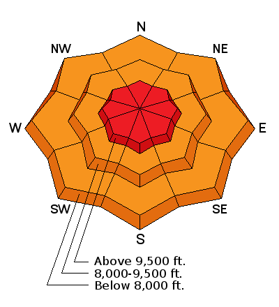
| type | aspect/elevation | characteristics |
|---|

|
|
LIKELIHOOD
 LIKELY
UNLIKELY
SIZE
 LARGE
SMALL
TREND
 INCREASING DANGER
SAME
DECREASING DANGER
|
|
description
Strong southerly winds have formed fresh wind slabs this morning. Wind slabs are gauranteed along mid and upper elevation ridgelines today. Very dangerous avalanche conditions exist and travel in avalanche terrain is NOT recommended. Heads up: We will have warm air advection as the storm devolpes, this means temperatures will be on the rise and snow densities will be increasing throughout the day. This will make the snow heavy and upside down. As the snow stacks up - you can expect to trigger avalanches even in wind sheltered terrain. |
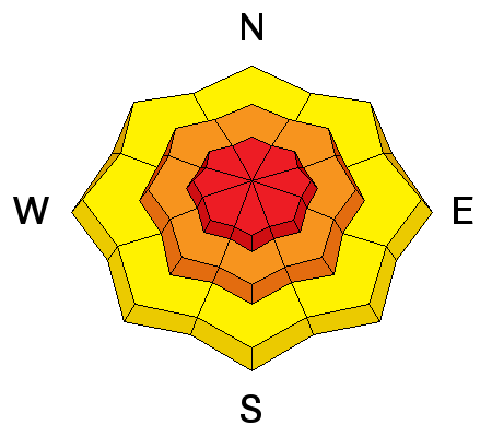
| type | aspect/elevation | characteristics |
|---|

|
|
LIKELIHOOD
 LIKELY
UNLIKELY
SIZE
LARGE
SMALL
TREND
INCREASING DANGER
SAME
DECREASING DANGER
|
|
description
The persistent slab avalanche problem mostly exist on the northern end of the Park City ridgeline to Parleys Canyon. It is caused by either a buried layer of surface hoar or small faceted crystals on an ice crust. This dangerous layering will once again show it's cards as the new snow stacks up. For now it's best to avoid this problem by sticking to slopes that are less than 30 degrees in slope steepness with nothing above or adjacent to you. Mark Staples has a good video HERE that shows surface hoar and propagation from a couple days ago. |
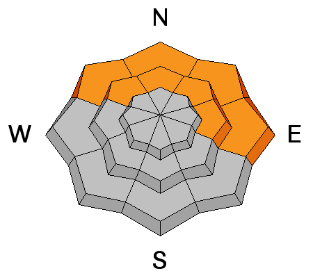
| type | aspect/elevation | characteristics |
|---|

|
|
LIKELIHOOD
LIKELY
UNLIKELY
SIZE
 LARGE
SMALL
TREND
 INCREASING DANGER
SAME
DECREASING DANGER
|
|
description
loose wet avalanches are possible at the lowest elevations where overnight temperatures were near 40 degrees (F). We are expecting rain up to roughly 7500' in elevation today as the storm arrives. Any rain on cold dry snow will cause avalanches. |
 |
weather Today will be a wild, wet, and windy day in the mountains. Did I mention wind? Winds will be increasing throughout the day and into the afternoon as the storm fully arrives with average speeds in the 30's & 40's gusting into the 70's at 10,000' in elevation. Temperatures will also be on the rise and the rain/snow line will creep up to 7500' by mid afternoon. You can expect somewhere around 10" of snow by the dinner hour with close to an inch of water. Areas that are favored by a southwest flow could see more. |
general announcements
|


