25th Annual Black Diamond Fall Fundraising Party
Thursday, September 13; 6:00-10:00 PM; Black Diamond Parking Lot
25th Annual Black Diamond Fall Fundraising Party
Thursday, September 13; 6:00-10:00 PM; Black Diamond Parking Lot
| Advisory: Ogden Area Mountains | Issued by Evelyn Lees for Monday - April 9, 2018 - 7:31am |
|---|

|
bottom line The avalanche danger is generally LOW, so use normal caution - look for and avoid any small wind drifts, and evaluate if there is wet snow beneath the hard ice crusts. Unusual conditions: with hard, icy bed surfaces, slide for life's are possible, and even a very small sluff or wind drift at the upper elevations could knock you off your feet.
|
 |
special announcement The UAC Marketplace is still open. Our online marketplace still has deals on skis, packs, airbag packs, beacons, snowshoes, soft goods and much more. |
 |
current conditions Skies are mostly clear, and temperatures have cooled nicely into the upper 20s at the mid, to near 30 at the lower elevations, and around 20 along the highest ridge lines. The northwesterly winds are decreasing, now averaging 10 to 15 mph at the mid elevations, and 15 to 25 mph on the highest peaks, with gusts to 30. Perhaps another inch of snow fell overnight, but it's still dust on crust in the Ogden area mountains, with only a few inches of snow falling after the rain ended on Saturday. Be prepared for unusually hard “slide for life” conditions on the slick rain crusts.. Little Cottonwood - Evelyn Lees photo – icy patch work, 9,500’.
|
 |
recent activity No new avalanche activity reported from the Ogden area mountains, no new observations. |
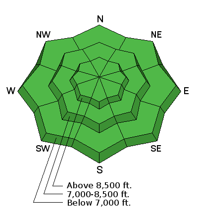
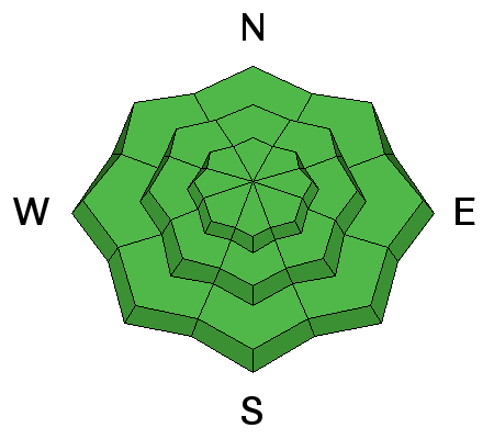
| type | aspect/elevation | characteristics |
|---|

|
|
LIKELIHOOD
 LIKELY
UNLIKELY
SIZE
 LARGE
SMALL
TREND
 INCREASING DANGER
SAME
DECREASING DANGER
|
|
description
With very little snow falling after the rain stopped, avalanches are unlikely in the Ogden area moutains. But mountain travel always has risks. Slide for life conditions exist on the hard, icy slopes. Wind slabs: there may be a few wind drifts along the highest ridge lines. Wet slabs and glide avalanches probably occurred during the rain on Saturday. The issue and the weak layers are not gone, rather they are currently dormant with the colder temperatures and avalanching on these deeper weak layers is unlikely until the next warm up. If the frozen crust becomes punchy where you are, with wet snow beneath, it's time to move off steep slopes. |
 |
weather It should be a stunning day, with clear skies and decreasing winds. Temperatures will warm to near 40°F at 8,000’ and into the 30s along the highest ridge lines. The northwesterly winds are forecast to drop into the 5 to 10 mph range at the mid elevations, and to around 25 mph at the highest elevation. Sunny skies and warmer temperatures on Tuesday, with a few snow showers possible Tuesday night. A more significant storm system is expected Thursday into Friday, with much colder temperatures and potentially heavy snowfall. |
| general announcements CLICK HERE FOR MORE GENERAL INFO AND FAQ The UAC has new support programs with Outdoor Research and Darn Tough. Support the UAC through your daily shopping. When you shop at Smith's, or online at Outdoor Research, REI, Backcountry.com, Darn Tough, Patagonia, NRS, Amazon, eBay a portion of your purchase will be donated to the FUAC. See our Donate Page for more details on how you can support the UAC when you shop. Benefit the Utah Avalanche Center when you buy or sell on eBay - set the Utah Avalanche Center as a favorite non-profit in your eBay account here and click on eBay gives when you buy or sell. You can choose to have your seller fees donated to the UAC, which doesn't cost you a penny This information does not apply to developed ski areas or highways where avalanche control is normally done. This advisory is from the U.S.D.A. Forest Service, which is solely responsible for its content. This advisory describes general avalanche conditions and local variations always occur. |


