25th Annual Black Diamond Fall Fundraising Party
Thursday, September 13; 6:00-10:00 PM; Black Diamond Parking Lot
25th Annual Black Diamond Fall Fundraising Party
Thursday, September 13; 6:00-10:00 PM; Black Diamond Parking Lot
| Advisory: Ogden Area Mountains | Issued by Drew Hardesty for Monday - December 18, 2017 - 7:12am |
|---|

|
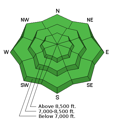
bottom line The avalanche danger is LOW – but small avalanches can be triggered in isolated areas or extreme terrain. The most likely avalanche to trigger would be a small, old shallow wind drift at the highest elevations. The snow pack is very shallow - riding is really only possible at the upper elevations in the Ogden area mountains, and even there, staying on lower angle, grassy slopes or sticking to snow packed roads will reduce the number of rocks and stumps you hit.
|
 |
special announcement Based on conditions, we will be issuing intermittent advisories. The next update will be Wednesday the 20th of December. Check out the blog Avalanche Fatalities During Uphill Travel. Backcountry travelers need a clear focus on evaluating terrain during their ascent, as well as their descents. |
 |
current conditions Skies are currently overcast with temperatures in the mid-20s. Winds are west to northwest at 15-20mph along the highest ridgelines. After Saturday night's 2-3", we're still looking at total snow on the ground on shady, upper elevation slopes is around 12-18" with much of it weak sugary facets over a variey of crusts. Sunny slopes are a mix of crusty snow and bare ground, and there’s only patchy snow at the mid and lower elevations. View the latest Ogden observations here. |
 |
recent activity None. |
| type | aspect/elevation | characteristics |
|---|

|
|
LIKELIHOOD
 LIKELY
UNLIKELY
SIZE
 LARGE
SMALL
TREND
 INCREASING DANGER
SAME
DECREASING DANGER
|
|
description
Though the avalanche danger is LOW, small avalanches can still be triggered in isolated places. Perhaps a small, shallow old wind drift at the highest elevation. The snowpack on the shady slopes consists of weak crusts and sugary faceted snow. This is a concern for the future when we finally get snow. For now, it’s amazing just to dig your hand into the snow and see how loose and weak it is. |
 |
weather High pressure will again build into the region ahead of a a very cold system arriving Wednesday afternoon. Until then, mountain temperatures will be in the upper 20s to low 30s; winds will be west to northwesterly at 15-20mph. West to southwest winds will pick up later Tuesday into early Wednesday ahead of the cold front with mountain temperatures plunging to the single digits by early Thursday. An optimistic 6-10" may look like something, but it'll be very low density. Another colder system potentially on track for later Friday. The winter solstice arrives 930am Thursday - maybe this'll mark a transition to true winter. |
general announcements
|


